Northwest Territories
4 minutes
Than Andrew says Northwest Territories is his first choice long-distance destination for wilderness practice in all of North-America.
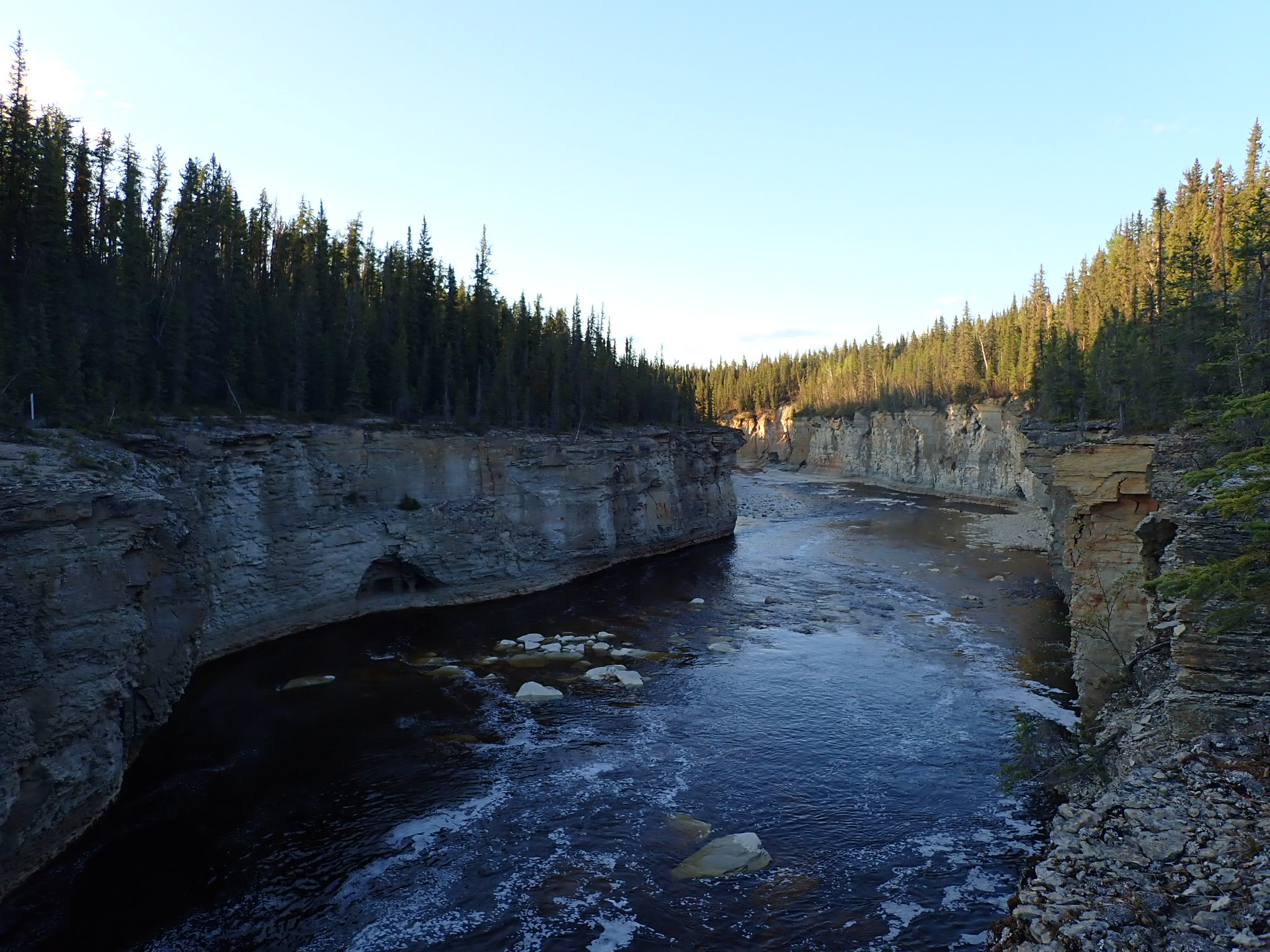
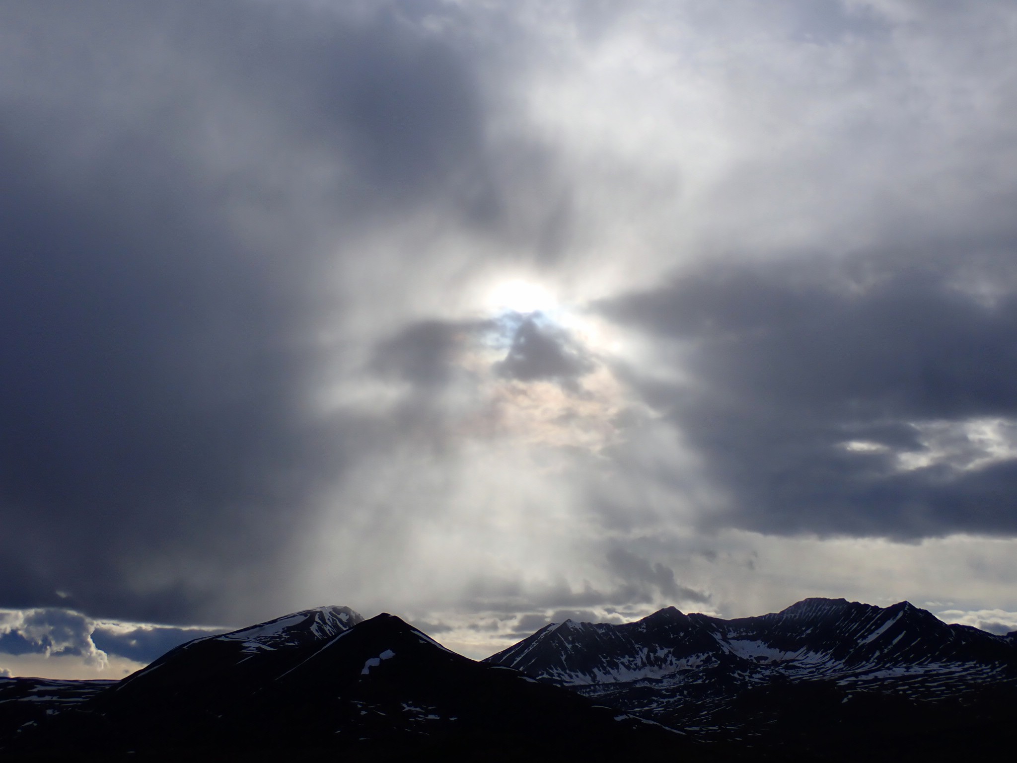
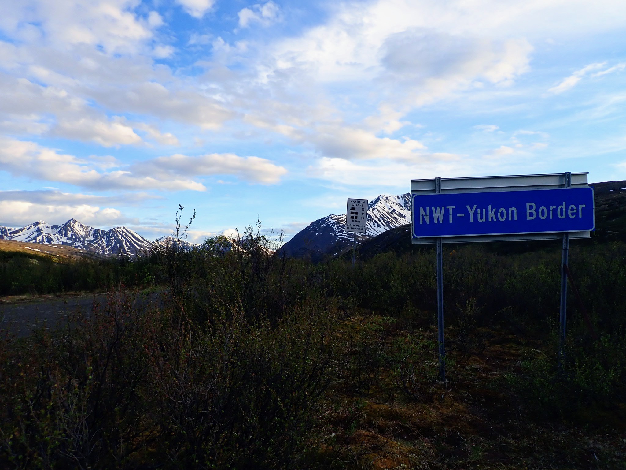
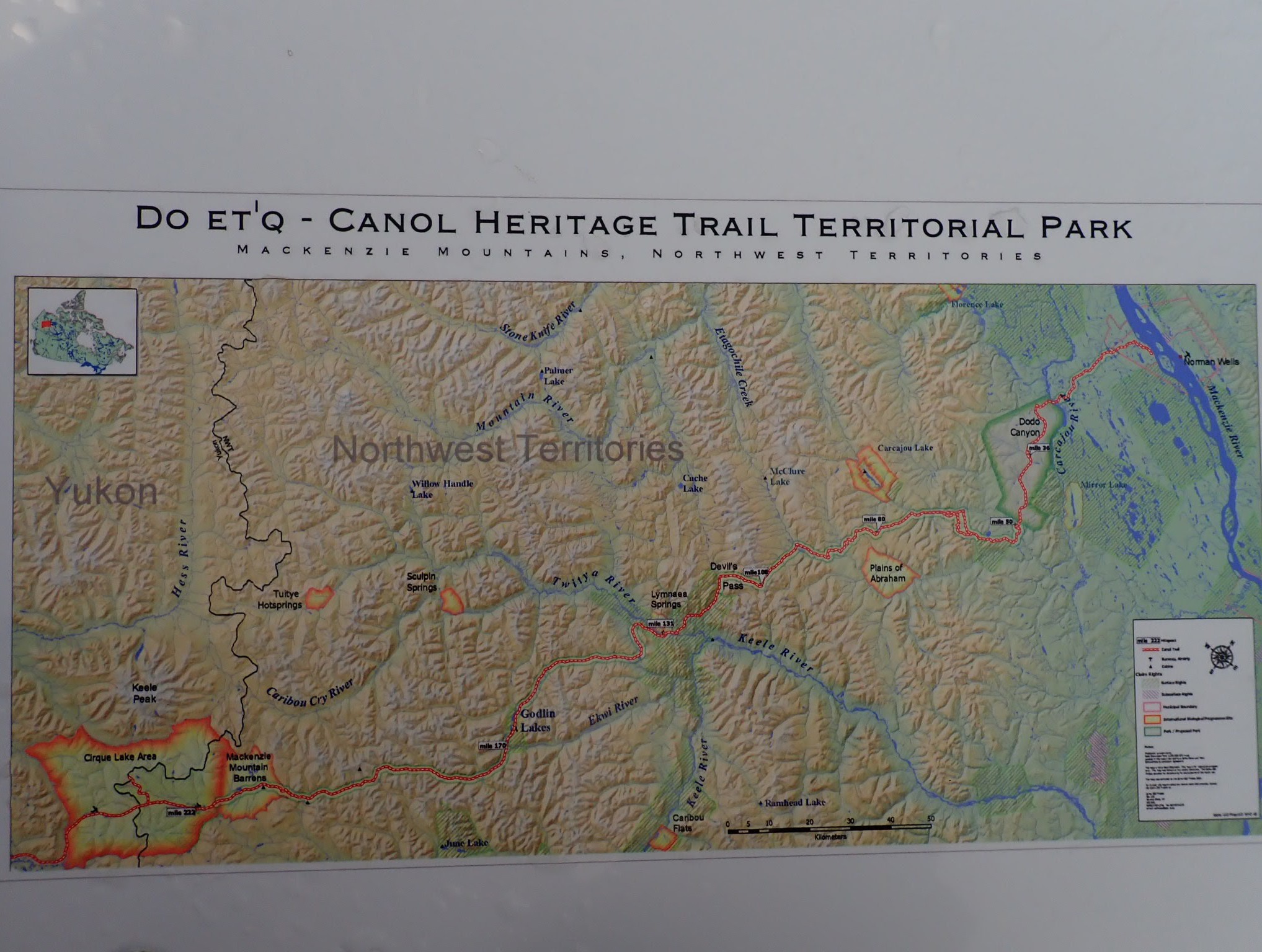
And the Mackenzie mountains are his favorite mountain range to practice in. There is very little road access to the Mackenzies. A lesser known 231 mile through-hiking trail, the Canol Heritage Trail, will lead you from Norman Wells, NWT to near the Yukon NWT border or vice-versa. The CHT passes through some very remote regions of the Mackenzies and a wide variety of unique terrain.
Perhaps the most iconic region of the Mackenzies is Nahanni National Park. Nahanni is overflowing with incredible land features, highly unusual folklore, and very strange history. There are regions of this park that are allegedly some of the only unexplored land left on the planet. The park receives very few visitors annually, primarily due to the remote location. Nahanni is under very strict control by Parks Canada, but wilderness immediately along some of Nahanni’s borders can be accessed by little known dirt roads, rivers, and difficult overland hiking…
Immediately north of Nahanni is Náátsʼihchʼoh National Park. Náátsʼihchʼoh is much smaller than Nahanni, and is slightly less restricted by Parks Canada. This land is also incredible, and is even less visited than Nahanni. The wilderness along the borders of Náátsʼihchʼoh can also be accessed by a remote road and by canoe or kayak as well.
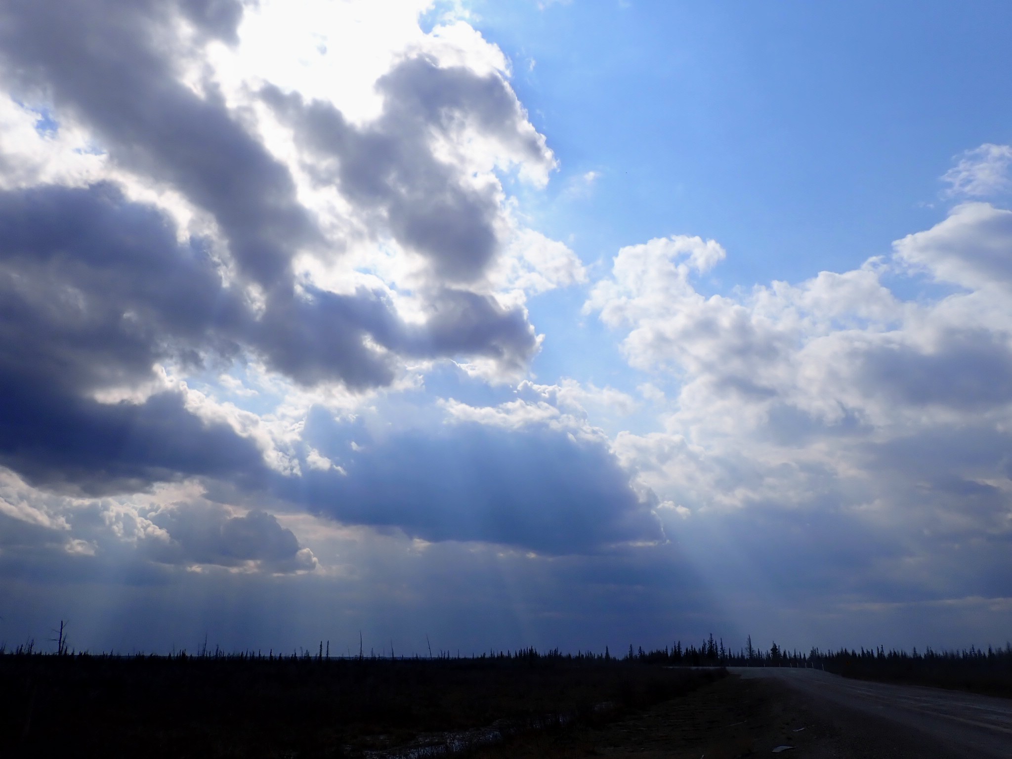
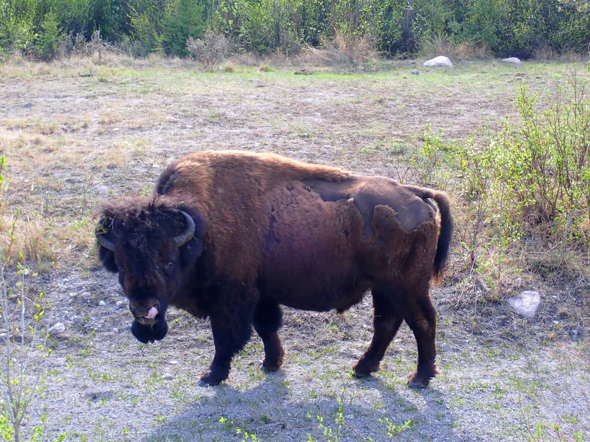
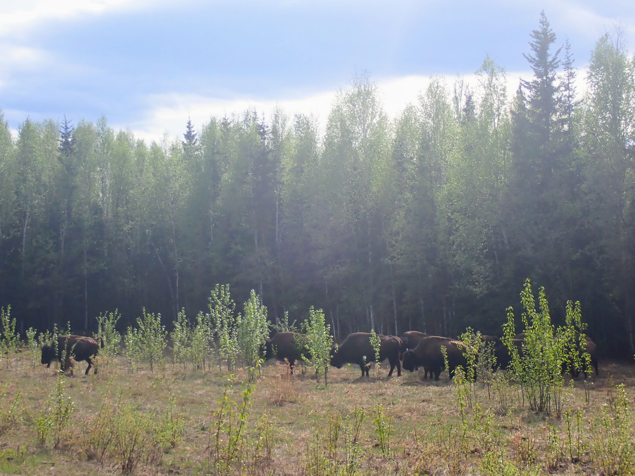
Crossing the 60° latitude border traveling north from British Columbia, you enter a vast sea of rugged bush and forest that makes up much of the NWT road system. It is very much undeveloped, with an extremely low population density. The further one travels east, the further one is from the mountains, and a great expanse of unpopulated thick forest and bush is seen as far as the eye can see in every direction. Despite the lack of mountains, much of this terrain is far from easy to traverse. This is an incredible, very wild place to practice, where much of the dense forests appear untouched. Rivers, ponds, and lakes are plentiful, as are waterfalls. Wood buffalo and black bear are abundant. As one continues east towards Great Slave Lake and Yellowknife, the terrain gradually transforms– there are colorful rock formations, sand, and arguably some of the most unique and easily traversable terrain on the road system north-of-sixty. Yellowknife is reputedly the sunniest city in Canada.
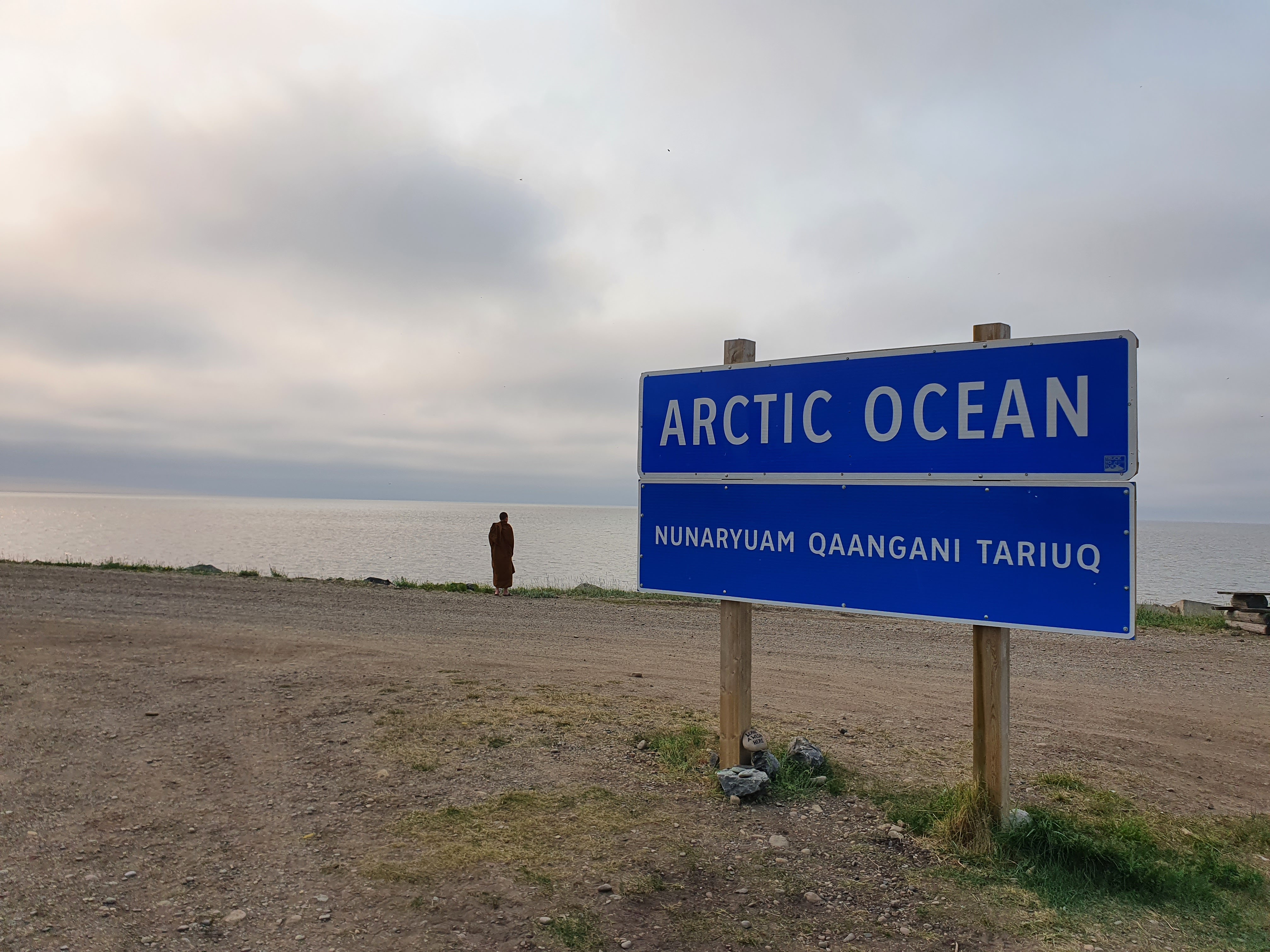
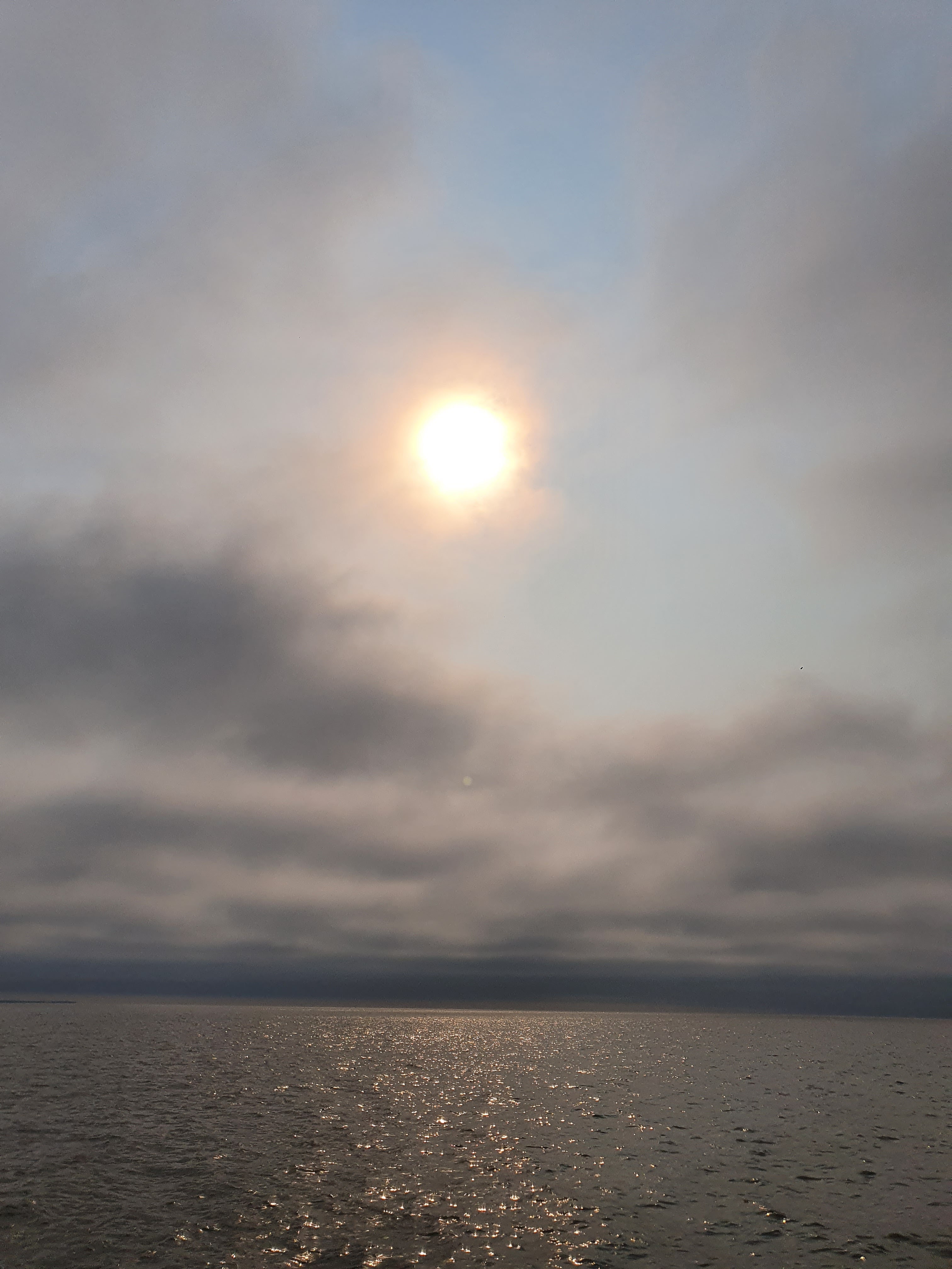
The Mackenzie River begins at Great Slave Lake and flows north-northwest all the way to the Arctic Ocean. Much of the river is reputedly easygoing and provides access to remote communities, tributaries, and unique land features far removed from the road system.
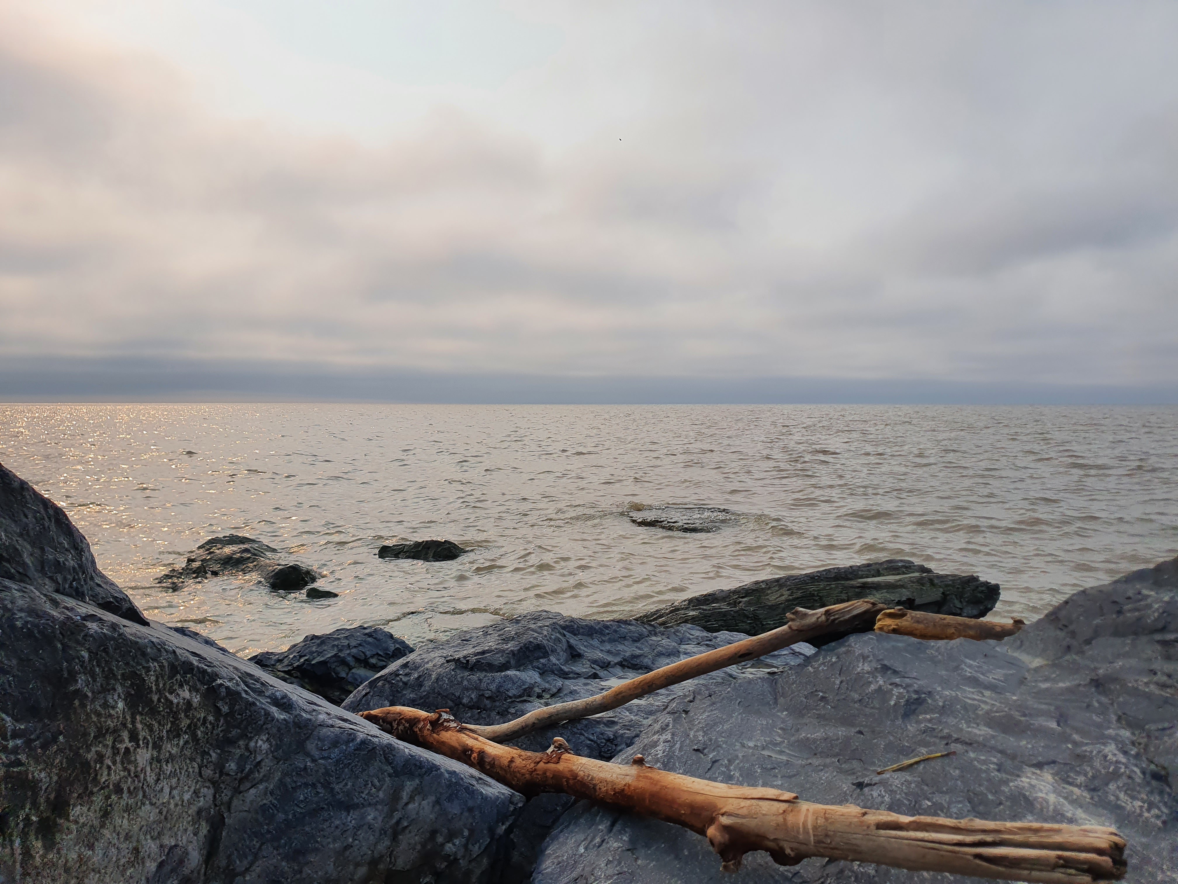
The Dempster Highway begins in Yukon near Dawson, and leads to the far northwest arctic region of NWT, ending in Inuvik. From Inuvik, there is an additional gravel road which leads one to the Arctic Ocean and the small settlement of Tuktoyaktuk. Both prior to and after crossing the Yukon border, the Dempster passes through the Richardson Mountains, a mountain range shared by both Yukon and NWT. There are very few public access spur roads along the entire Dempster, so any excursions into the Richardsons would best be done by overland hiking with no trails. The Richardsons eventually end as one continues north, and soon one enters a long stretch of some of the most rugged arctic terrain on the north-of-sixty road system all the way to Inuvik.
Northwest Territories doesn’t yet have any public communities established for Dhamma practice. But like Yukon, the wilderness presents endless opportunities for Dhamma to all those who want to utilize it.
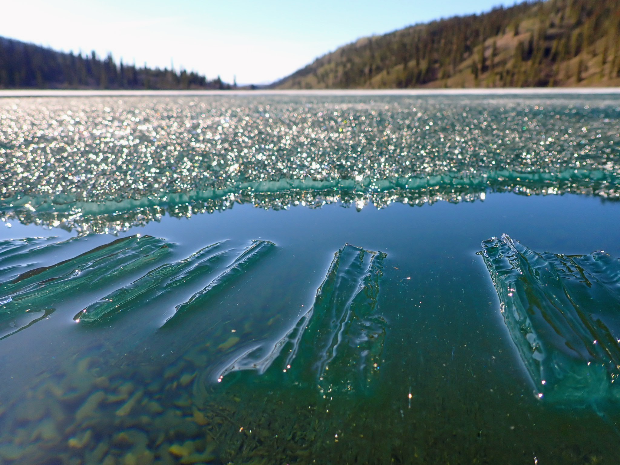
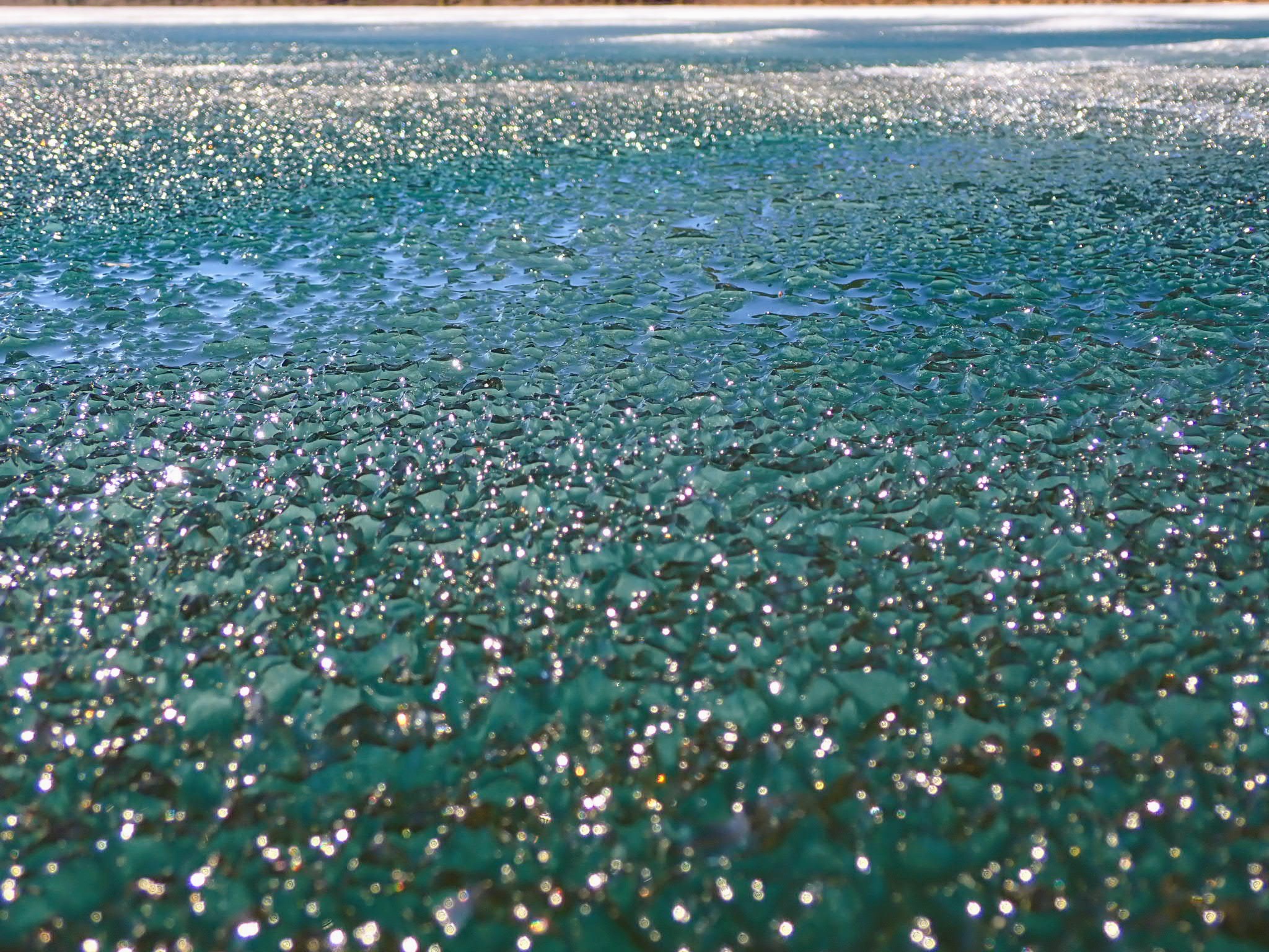
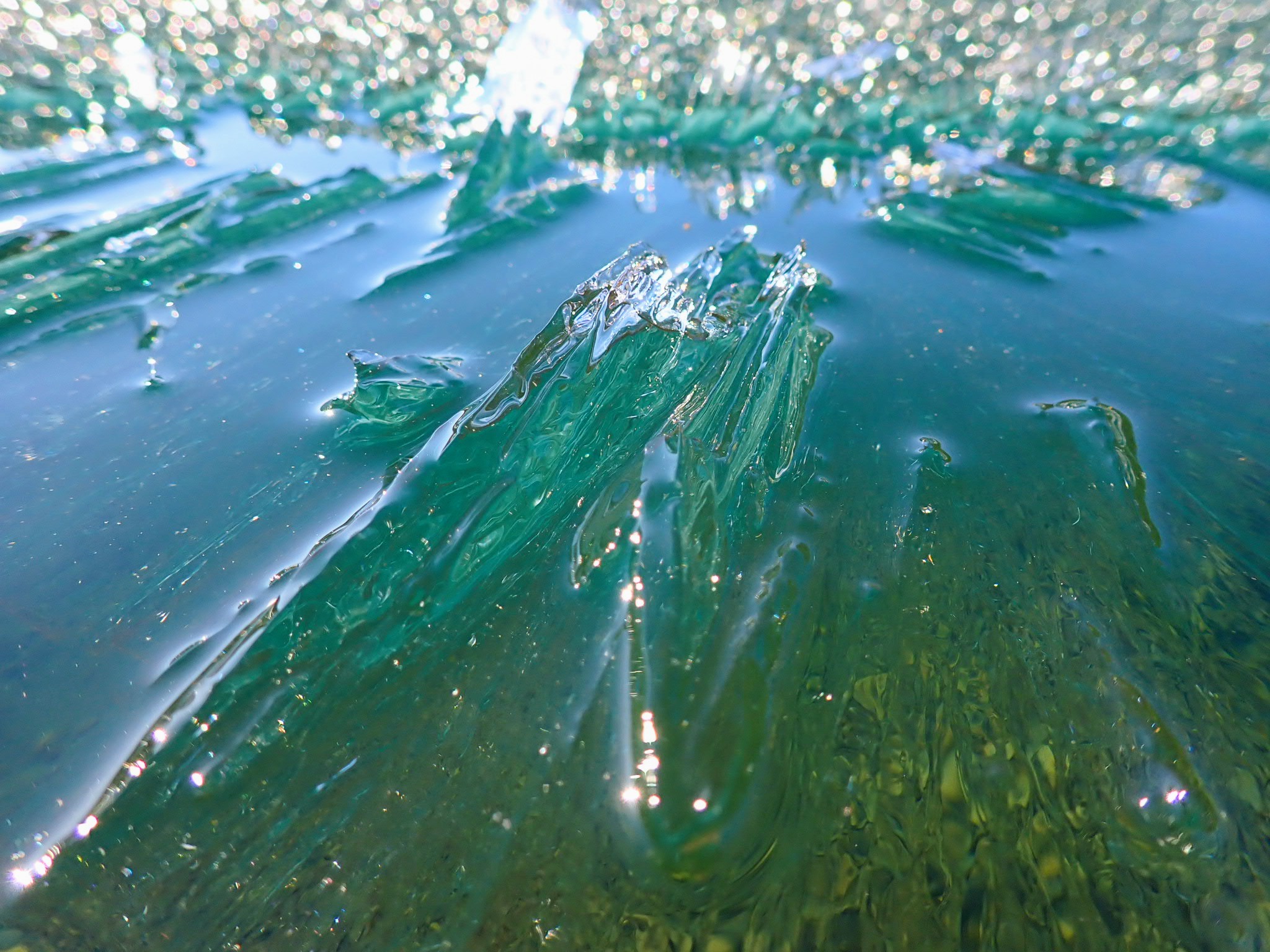
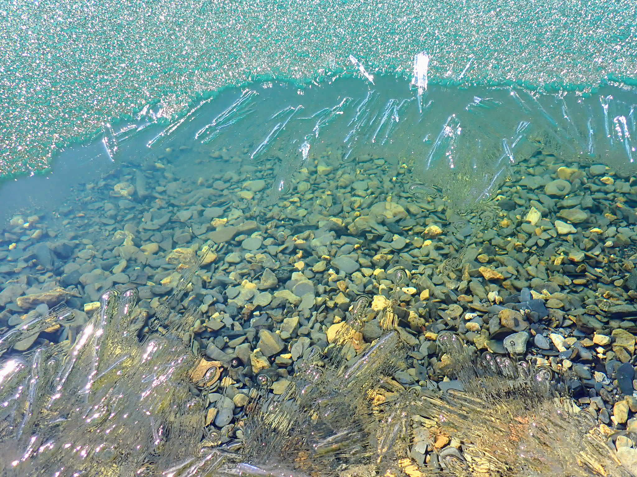
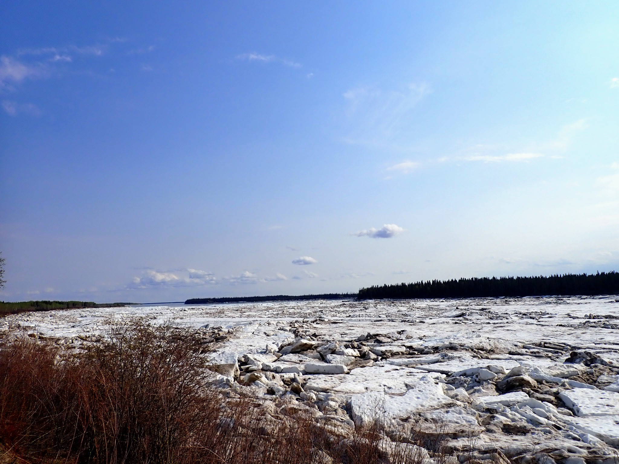 Mackenzie River Spring Breakup Fort Providence

 Camping near Yellowknife
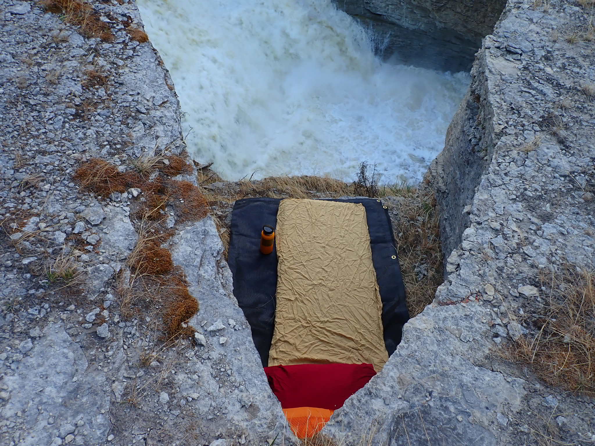 Camping at Sambaa Deh Falls
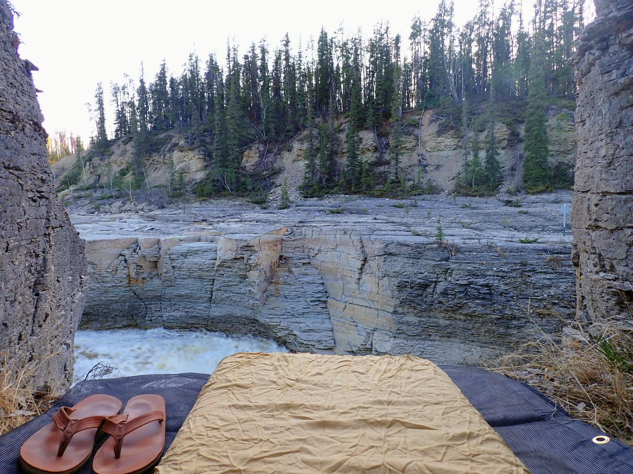
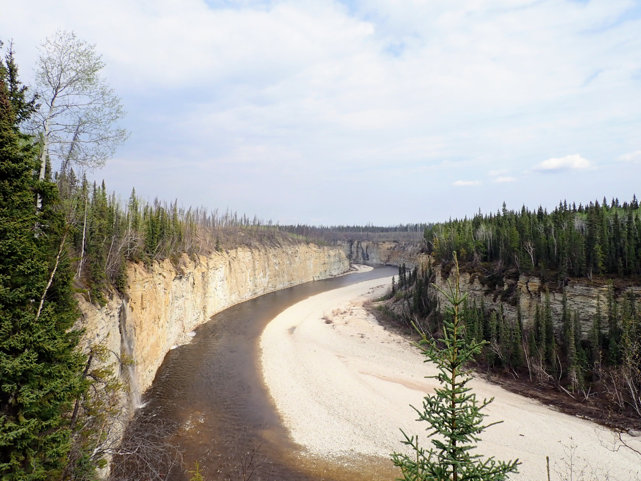
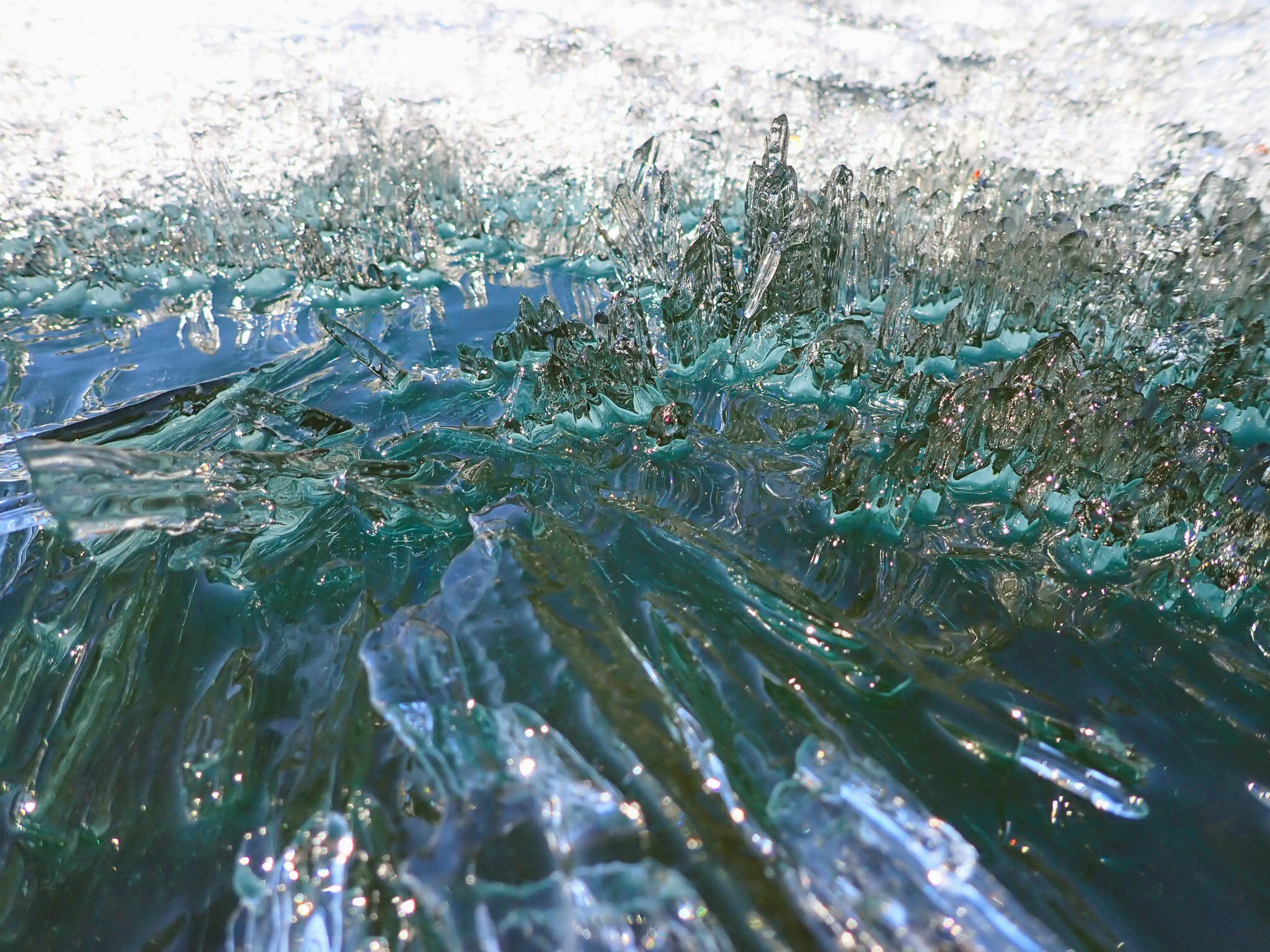
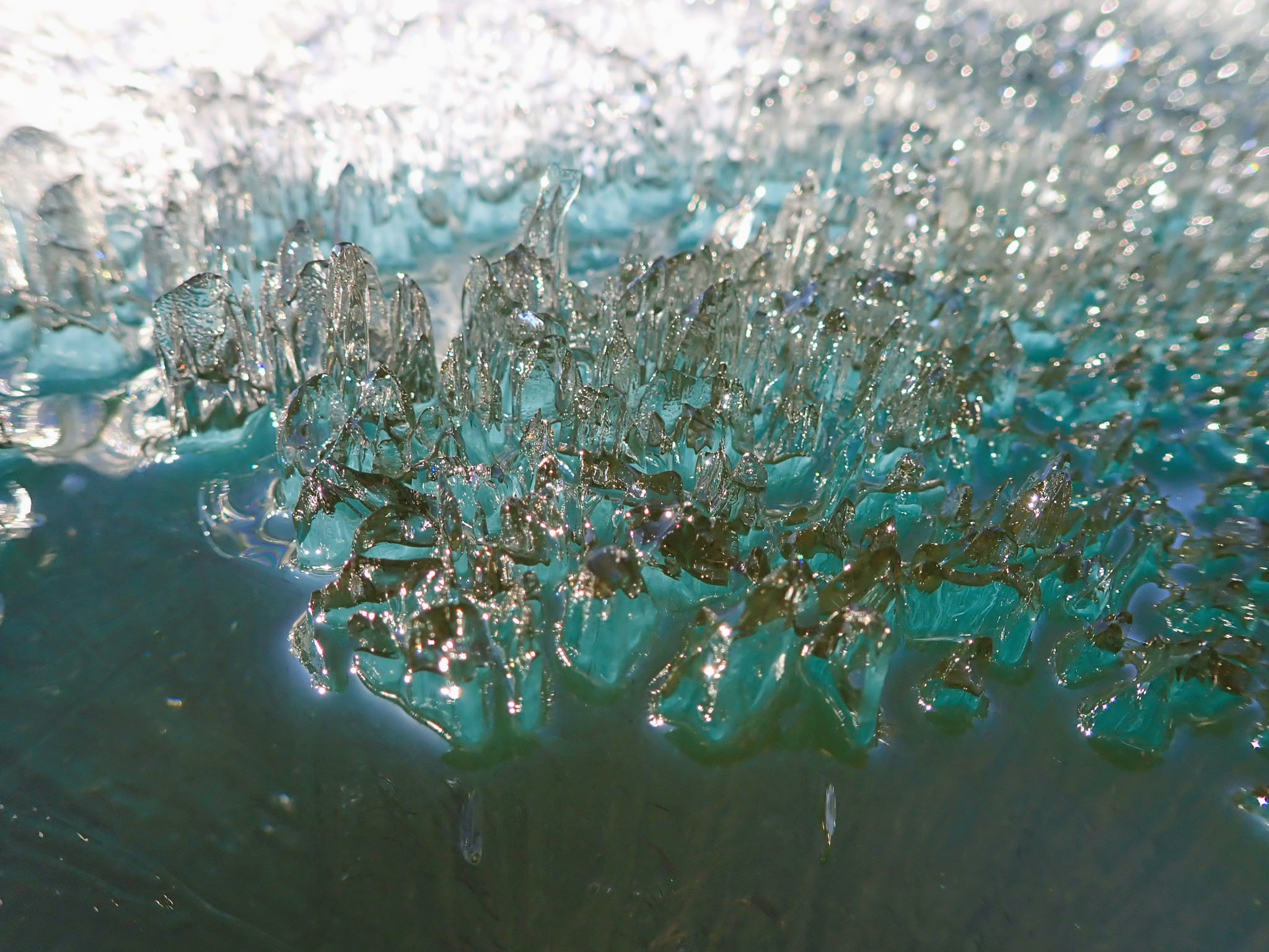
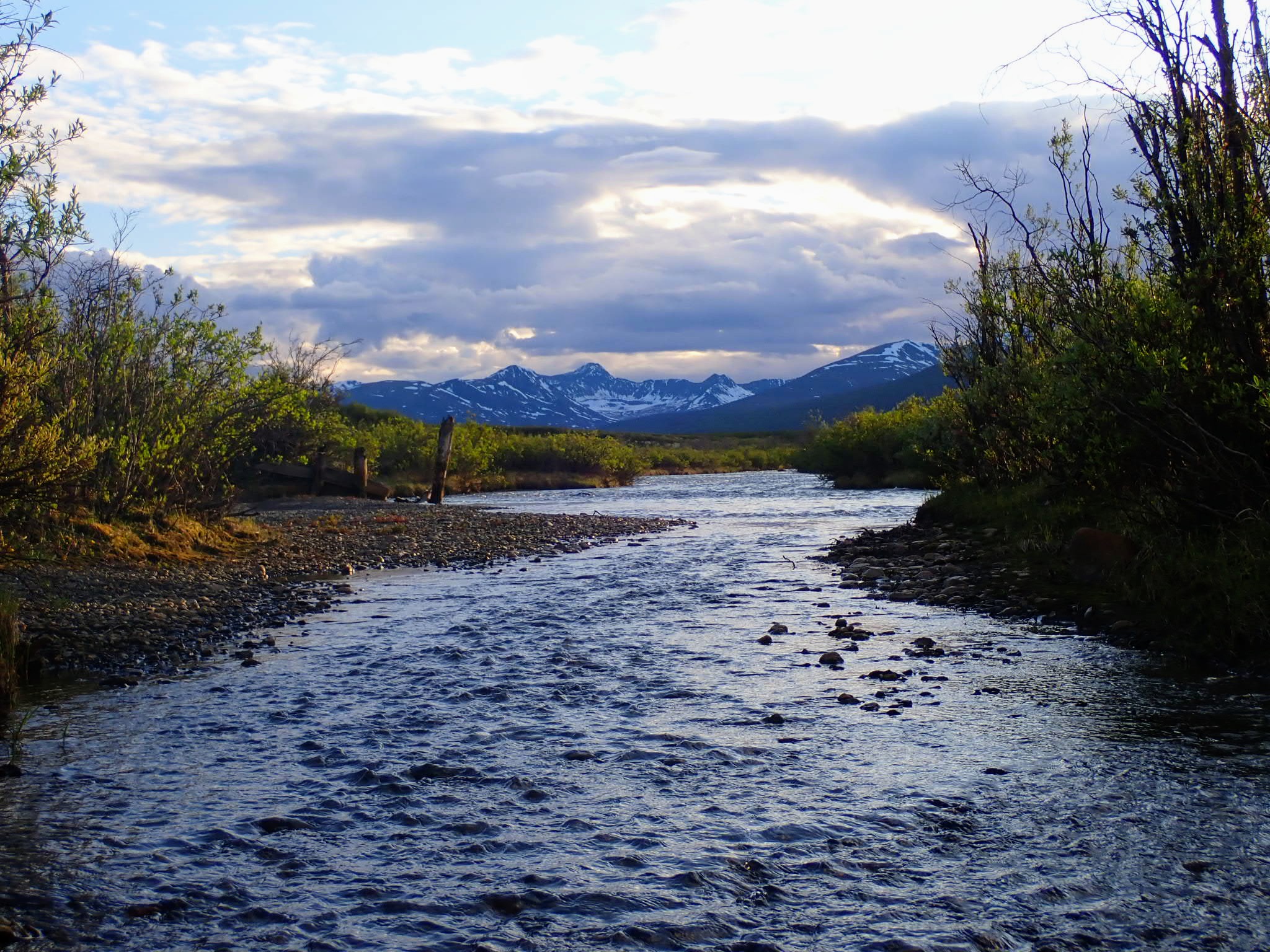
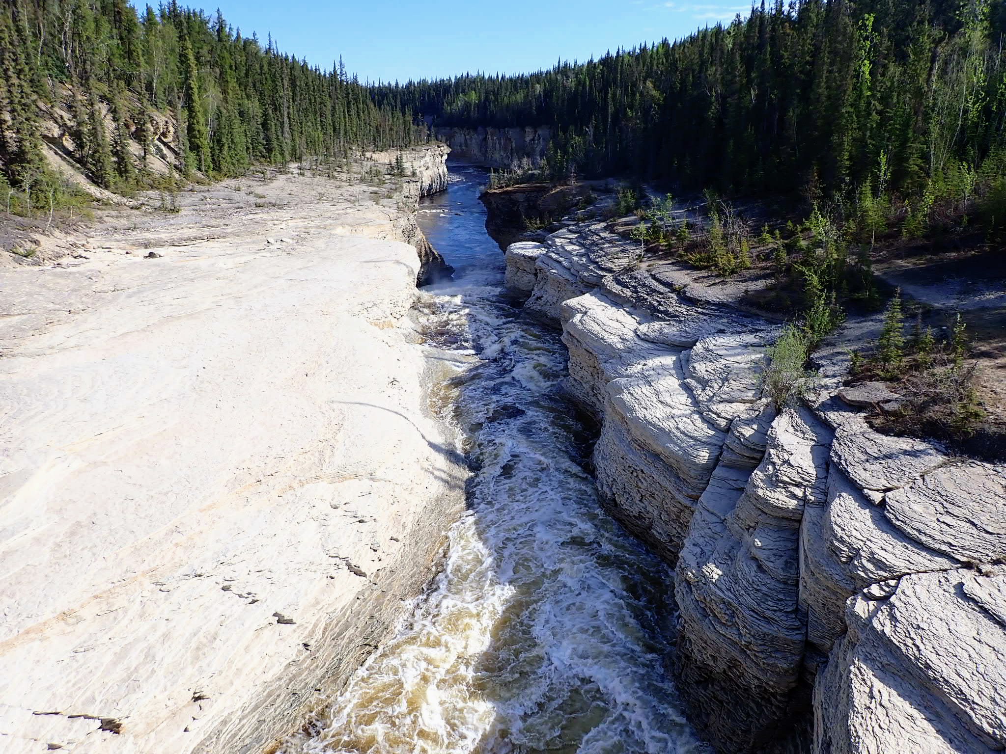 Trout River (Sambaa Deh River)
 Fort Liard
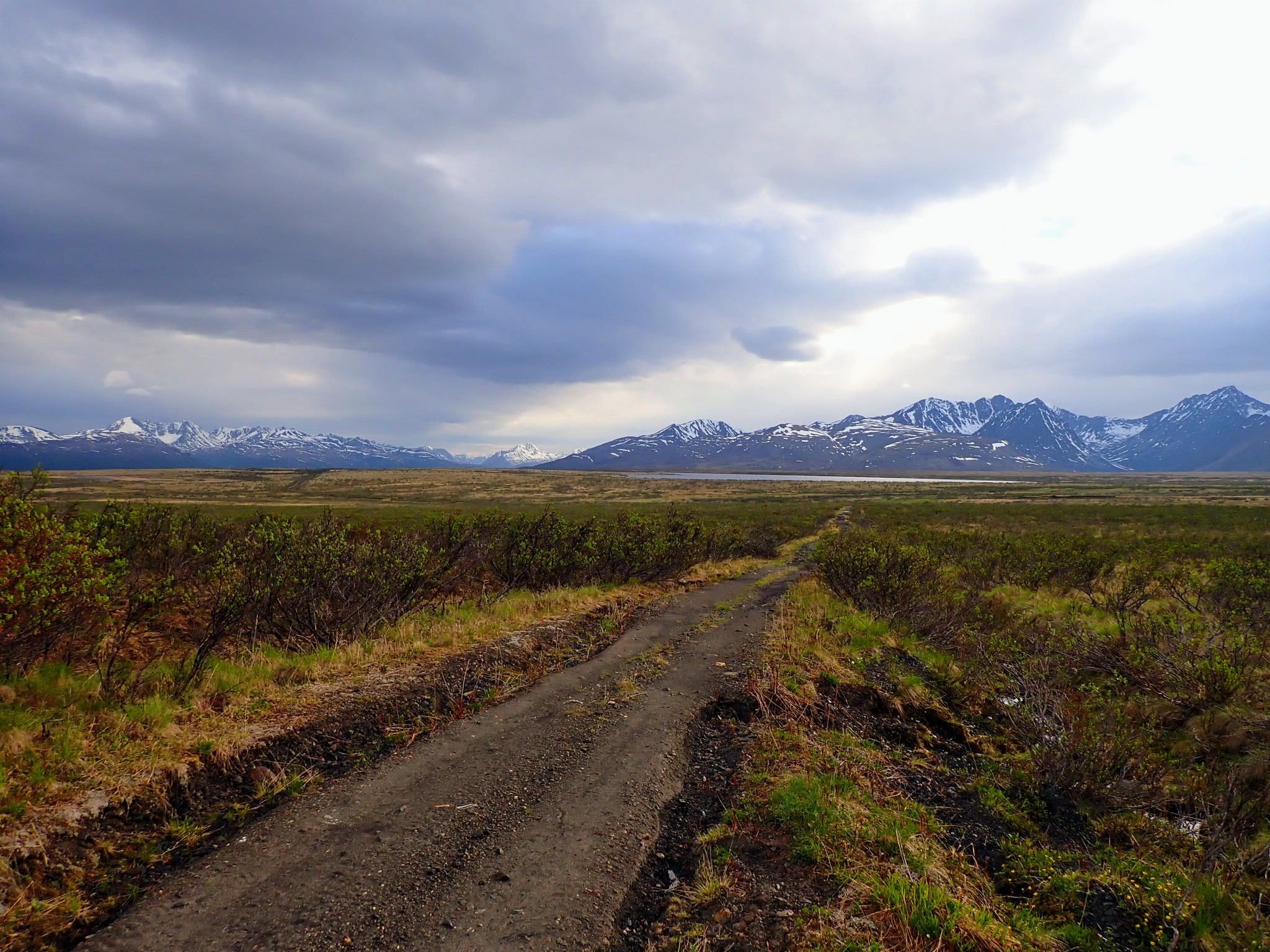
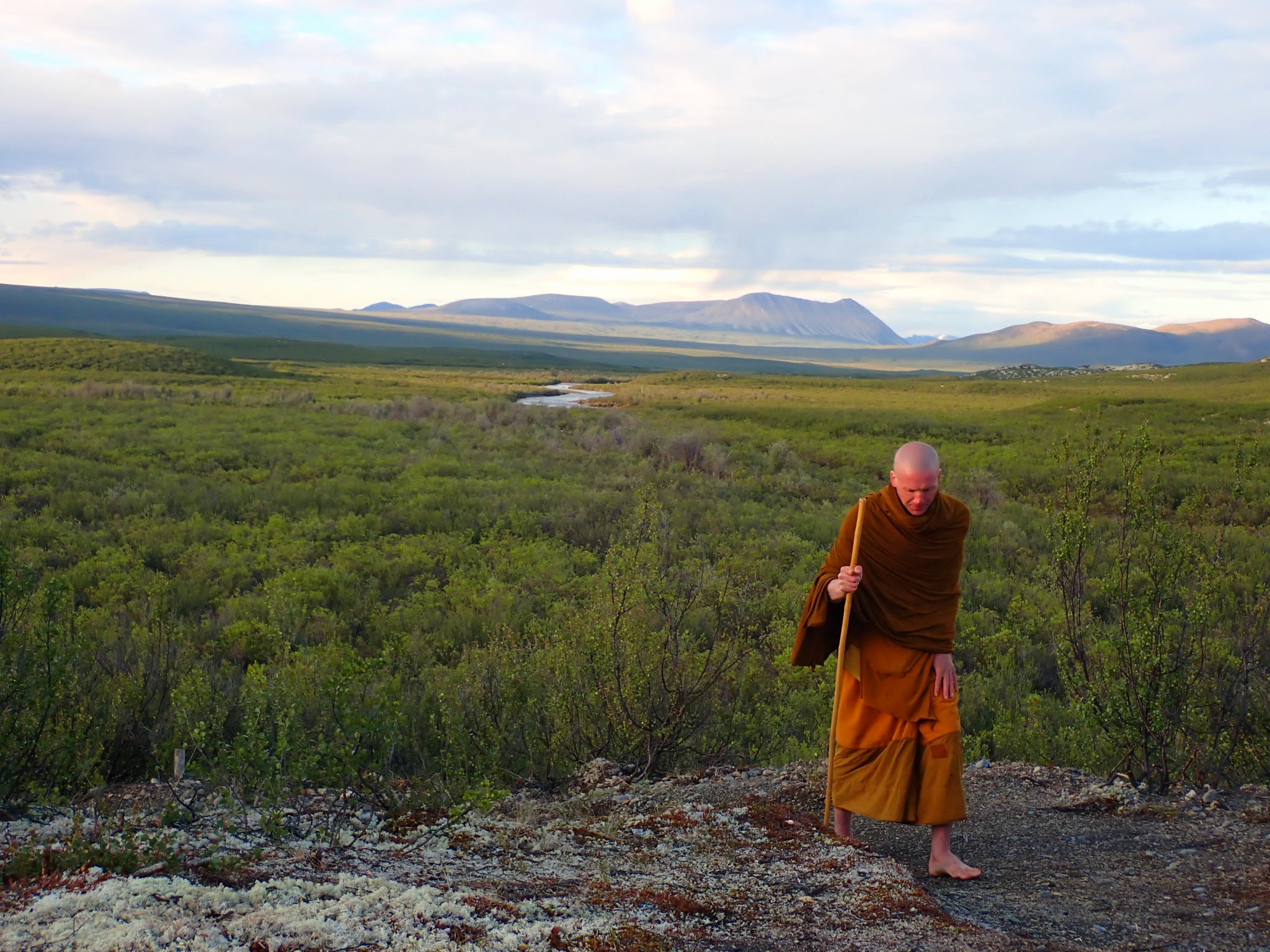
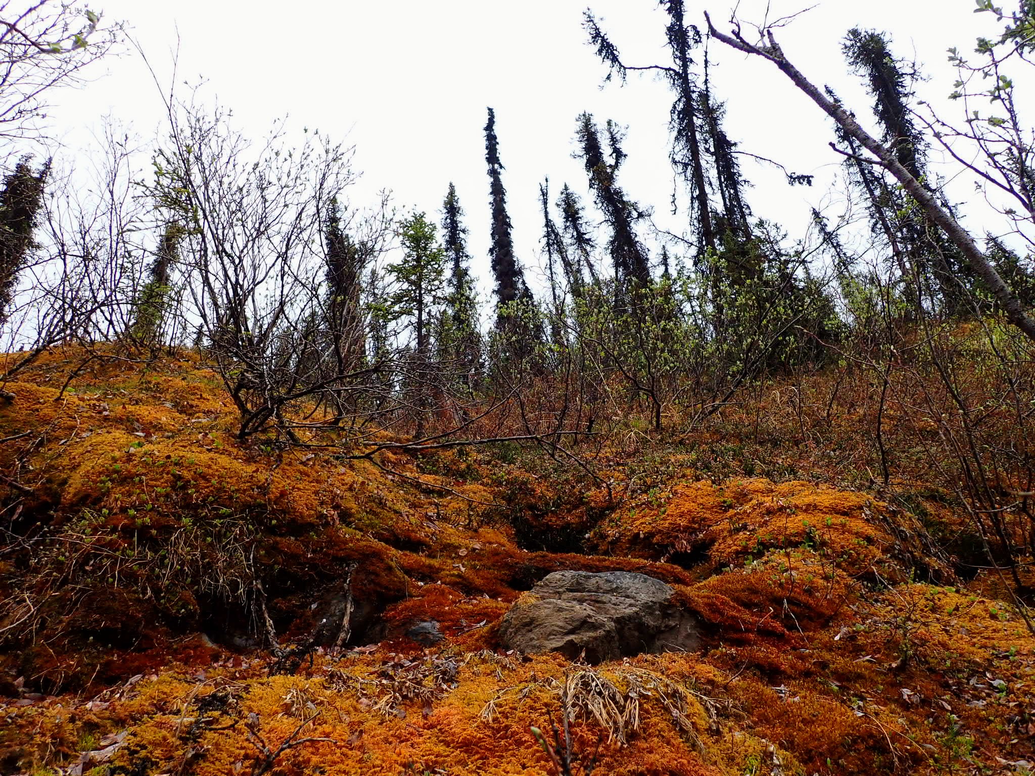
 A walking meditation path near Nahanni
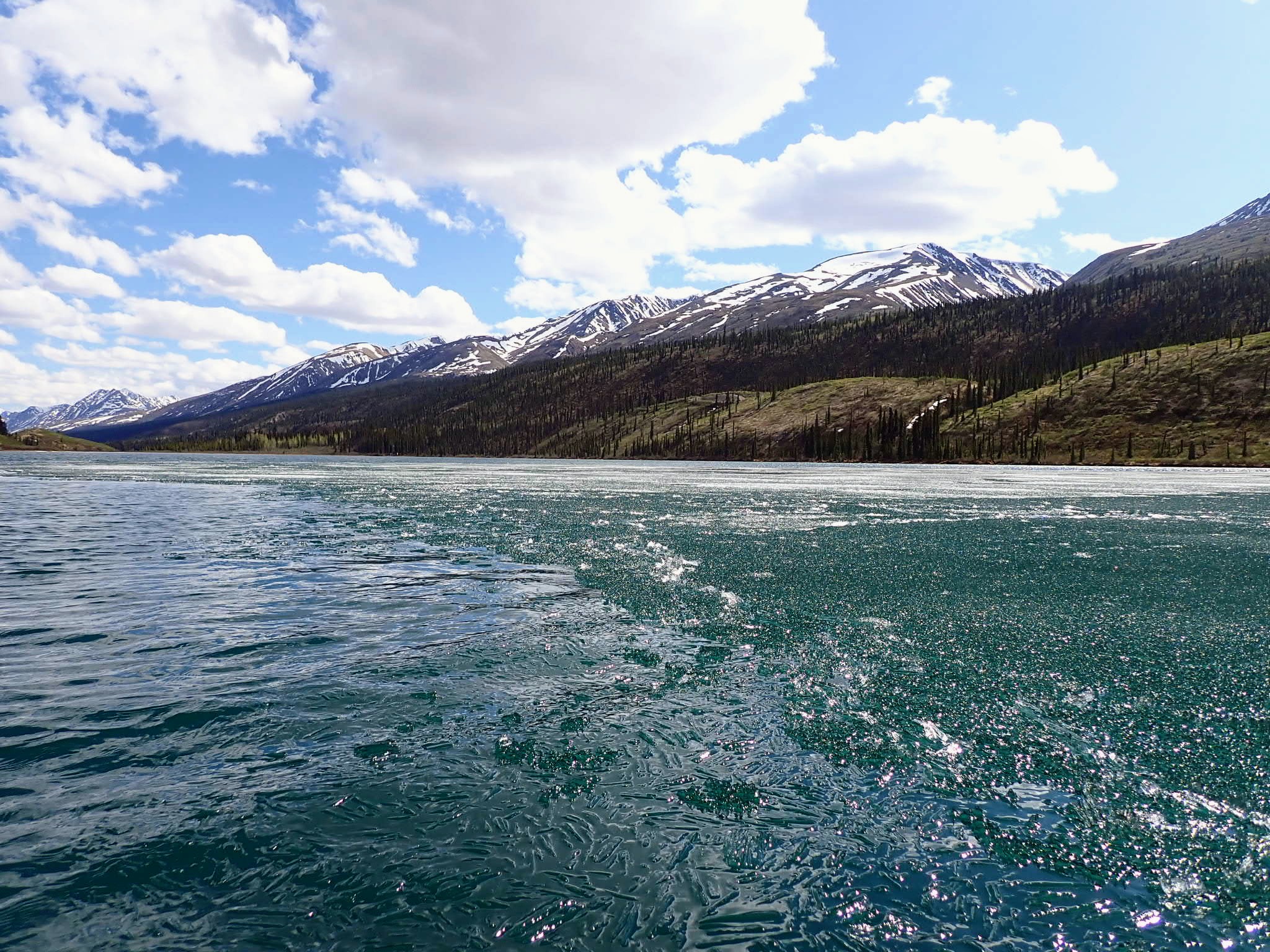
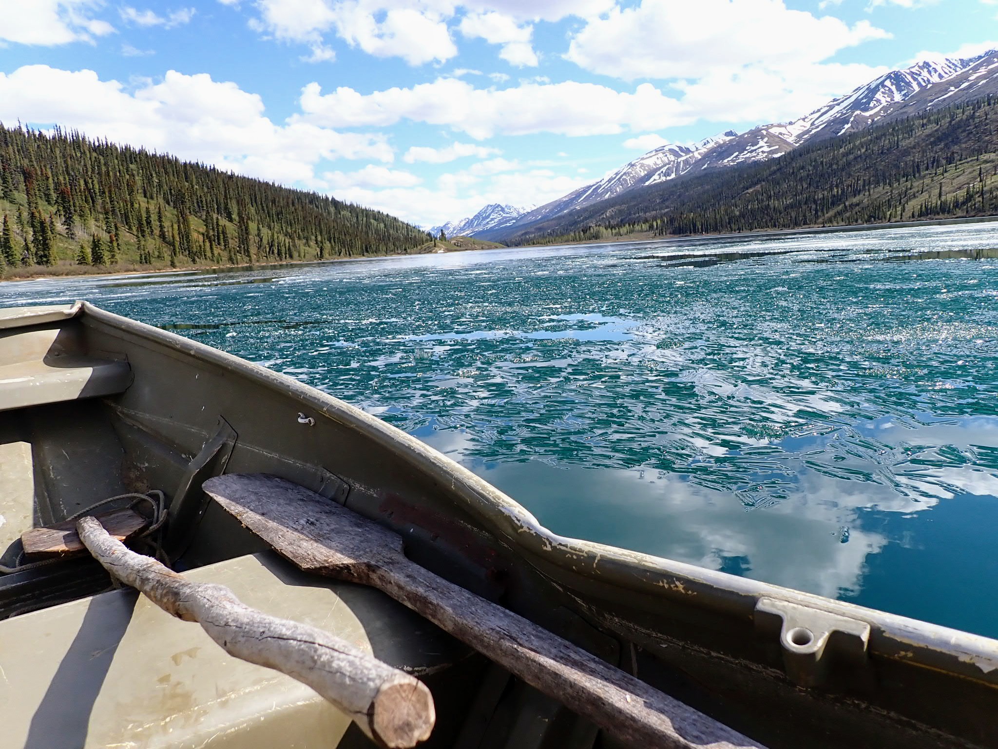
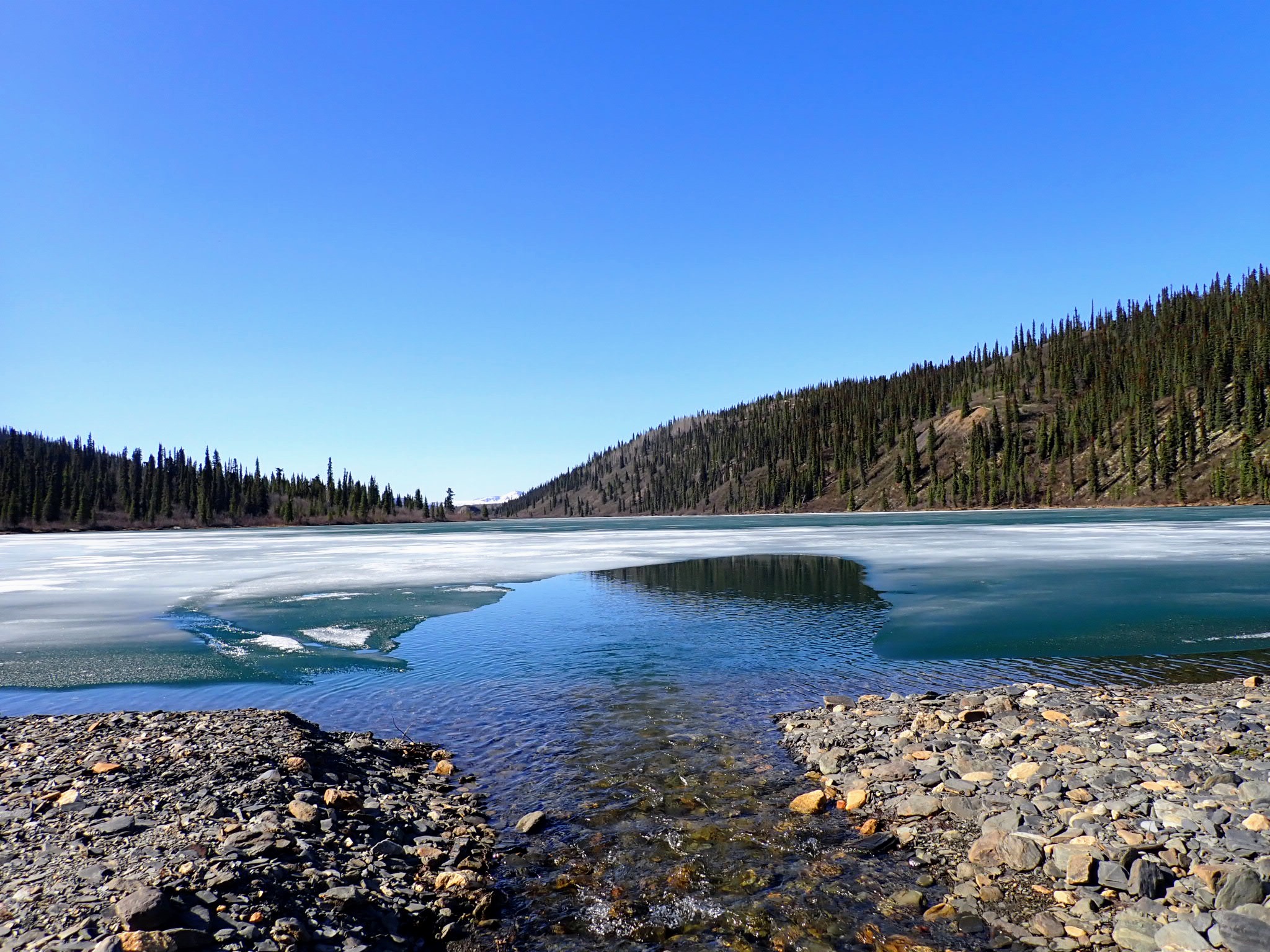
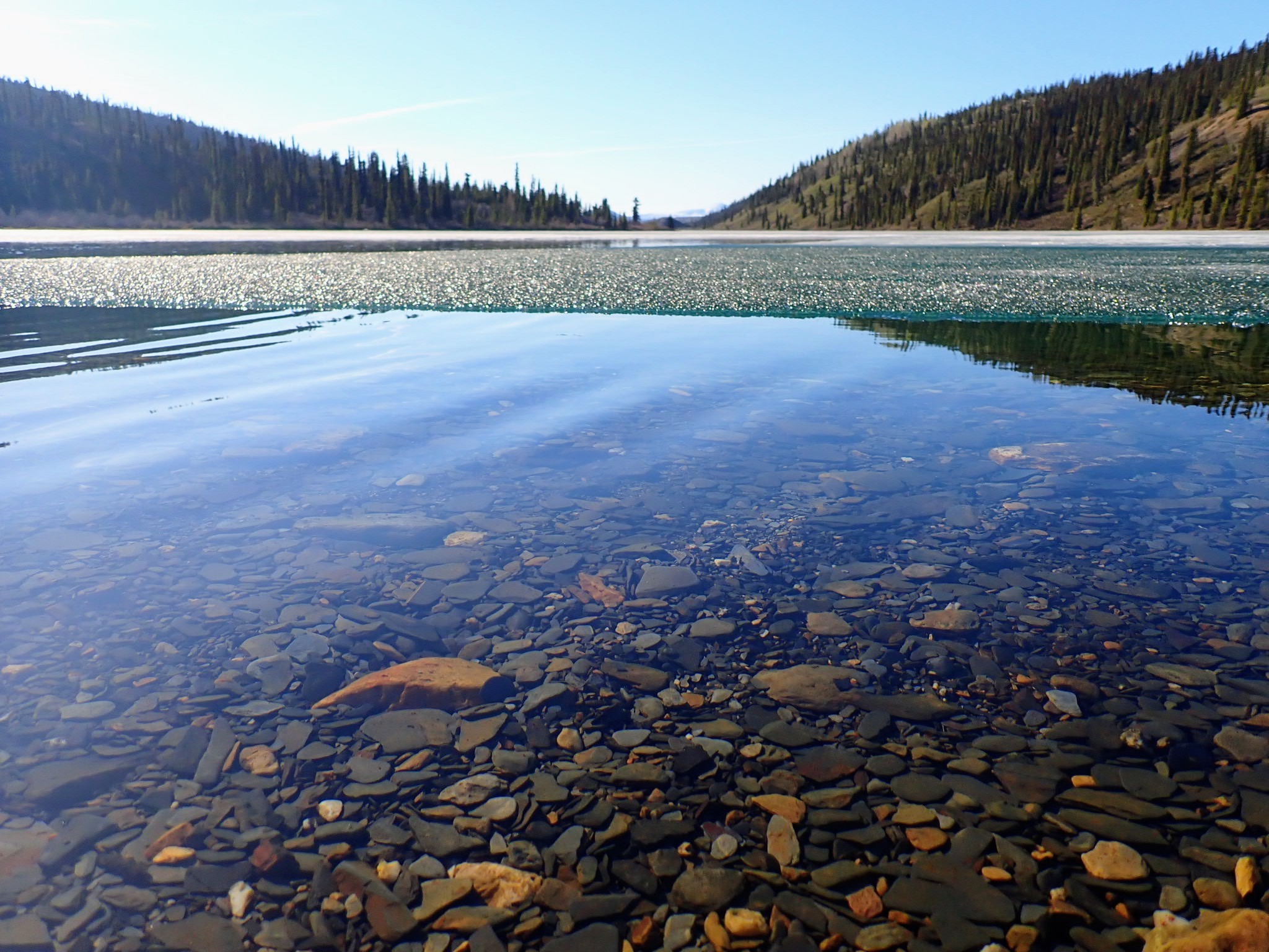
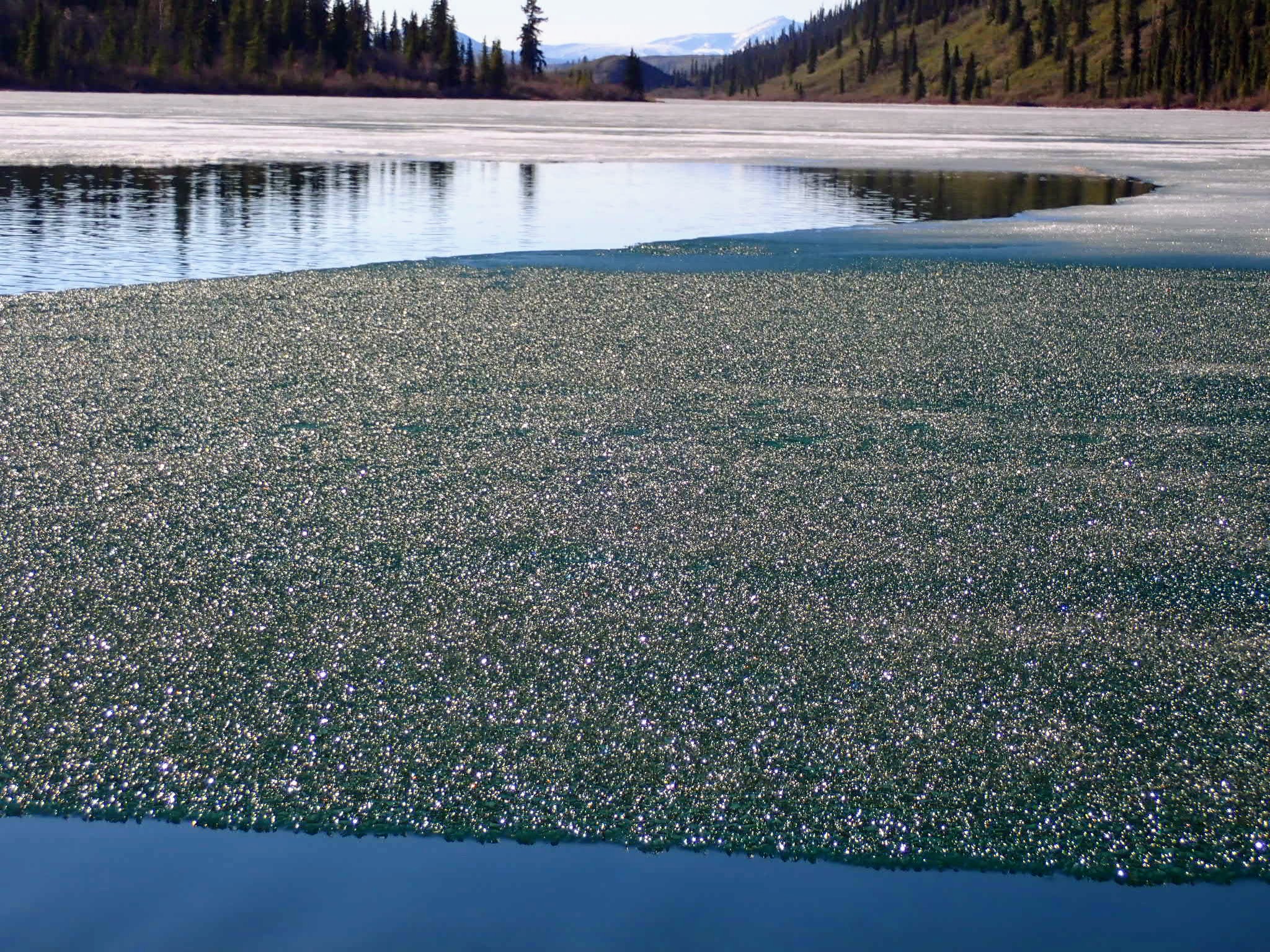
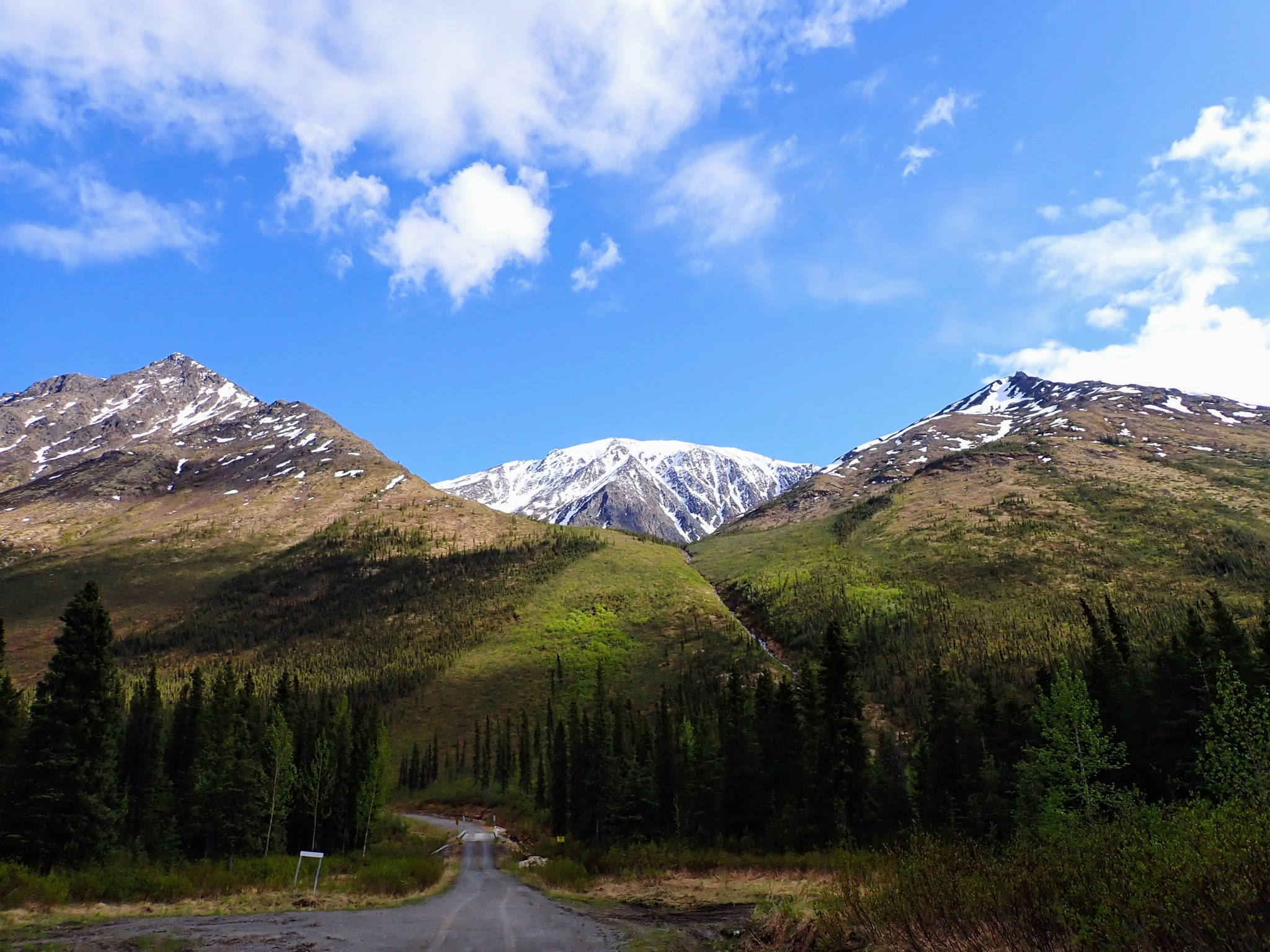
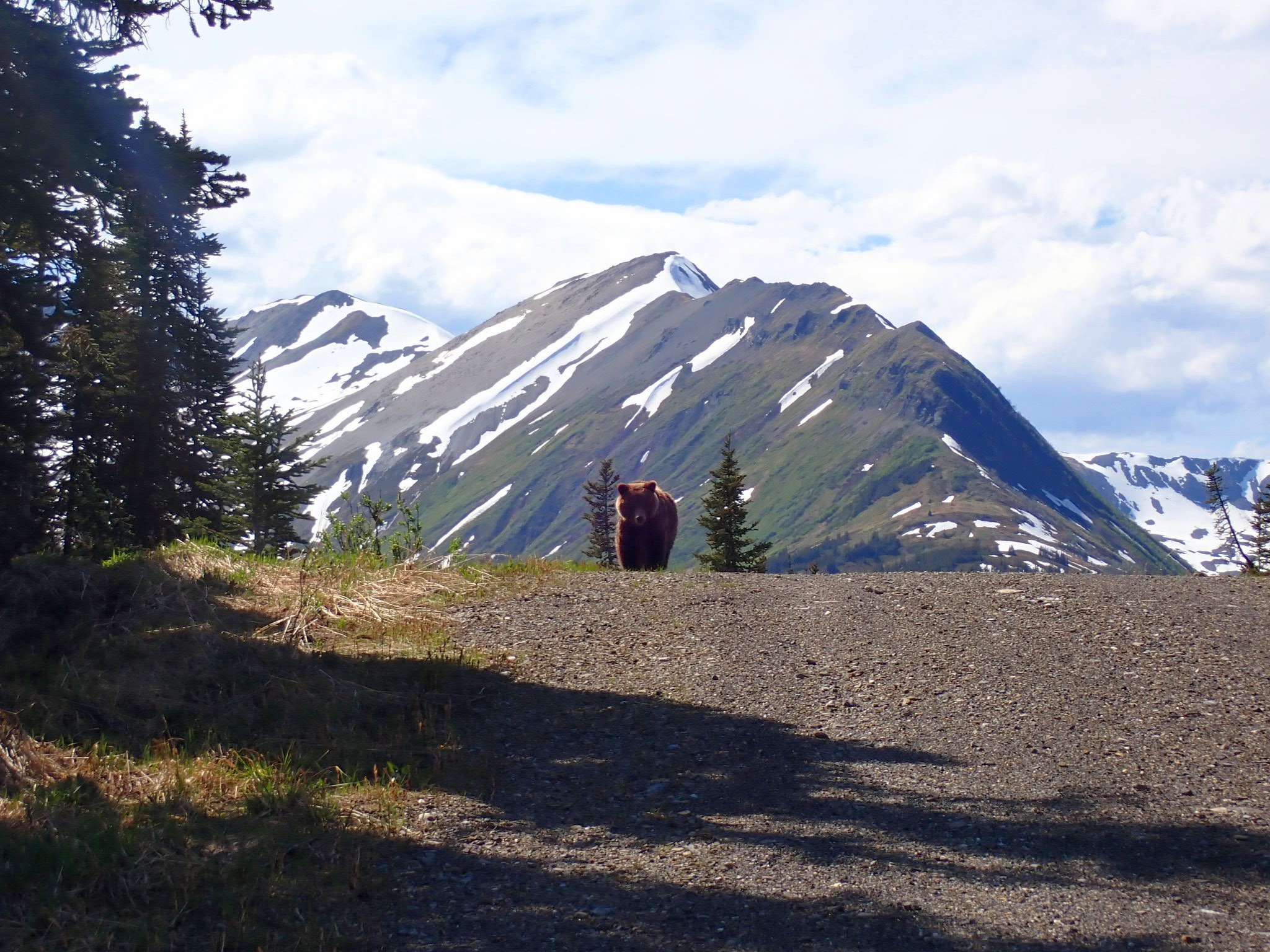
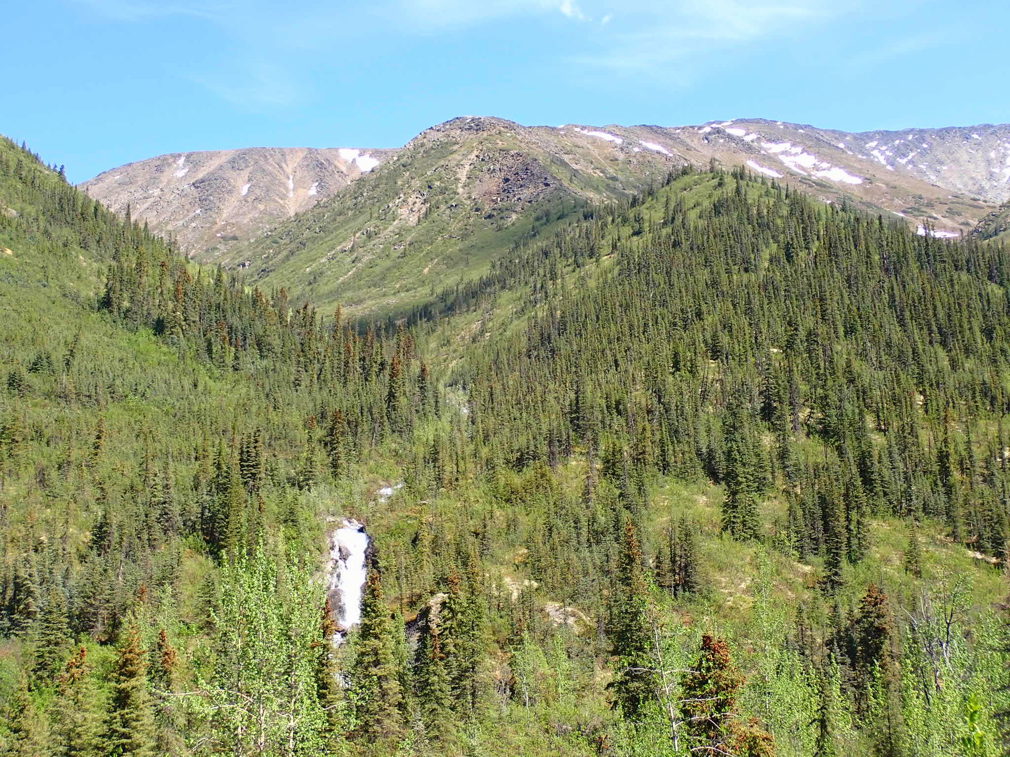
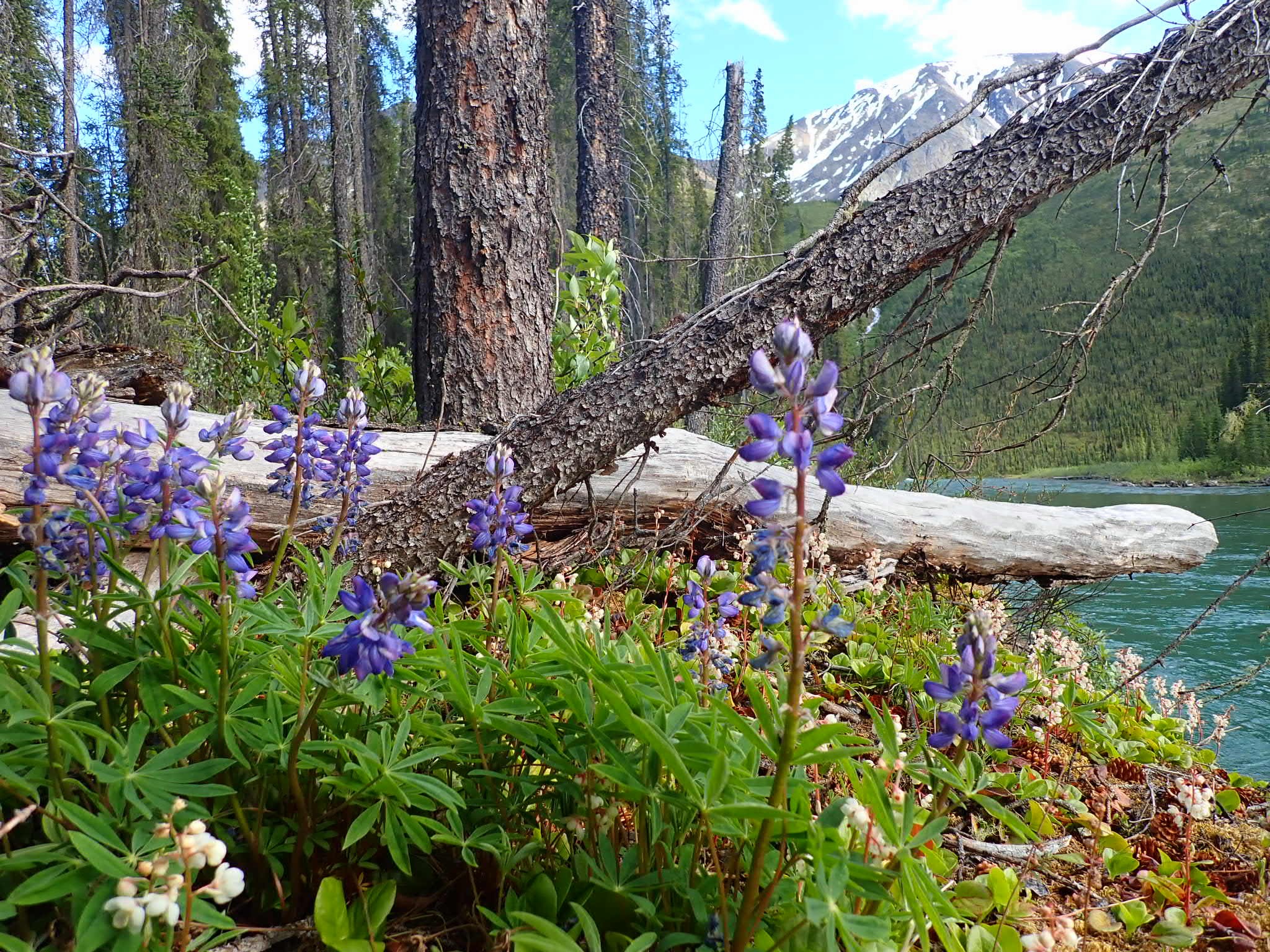
 Náátsʼihchʼoh/Nahanni Backcountry
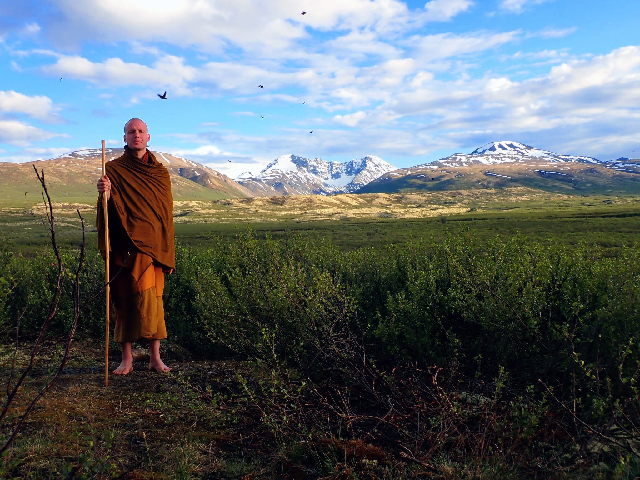
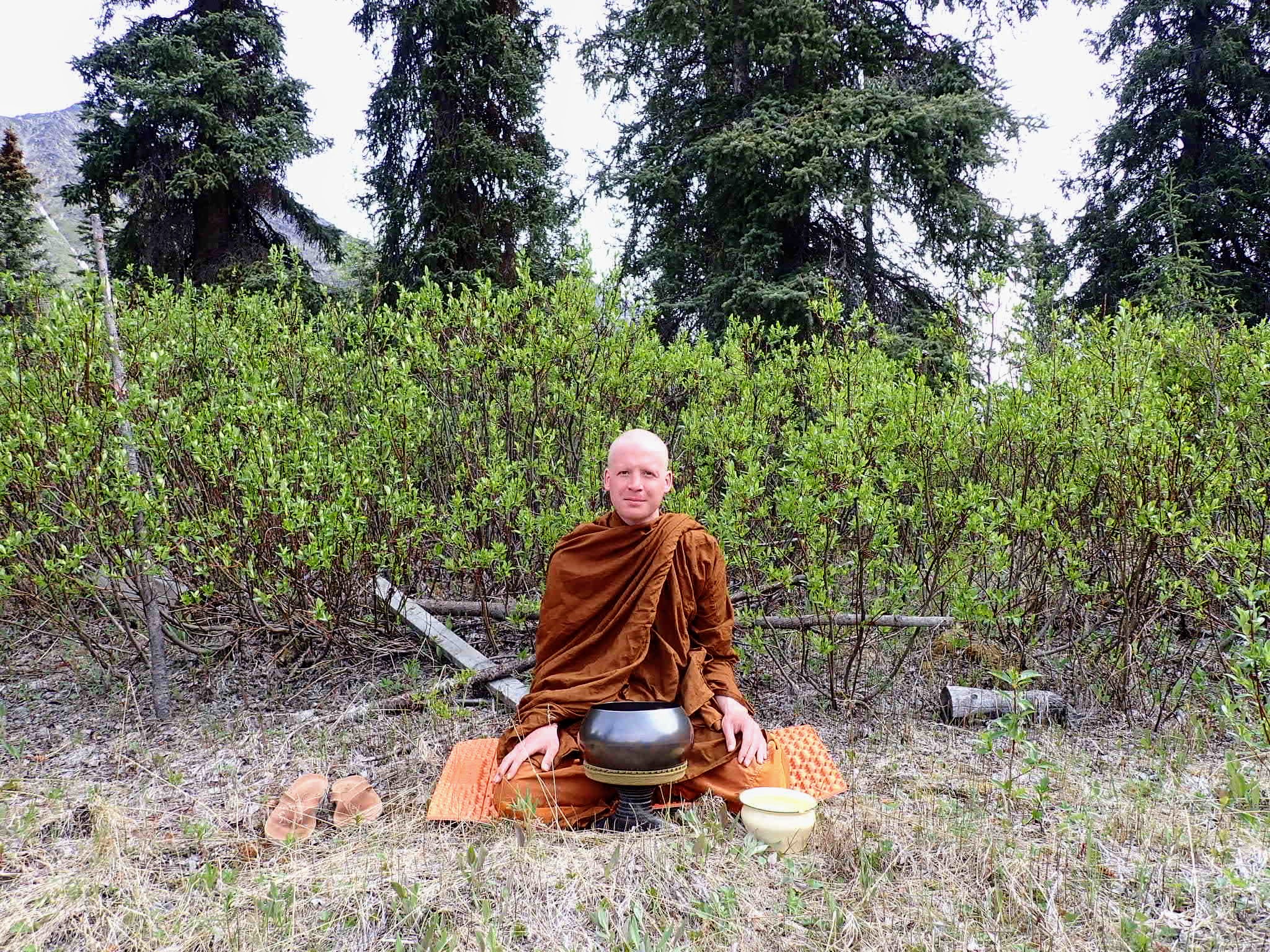 Visākha Pūjā 2023 Near Náátsʼihchʼoh
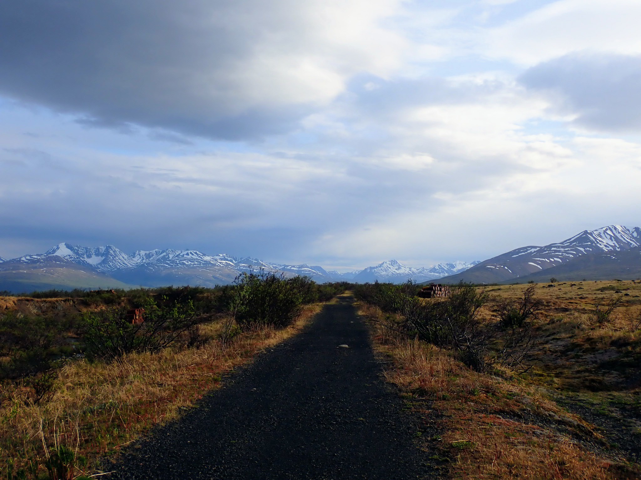
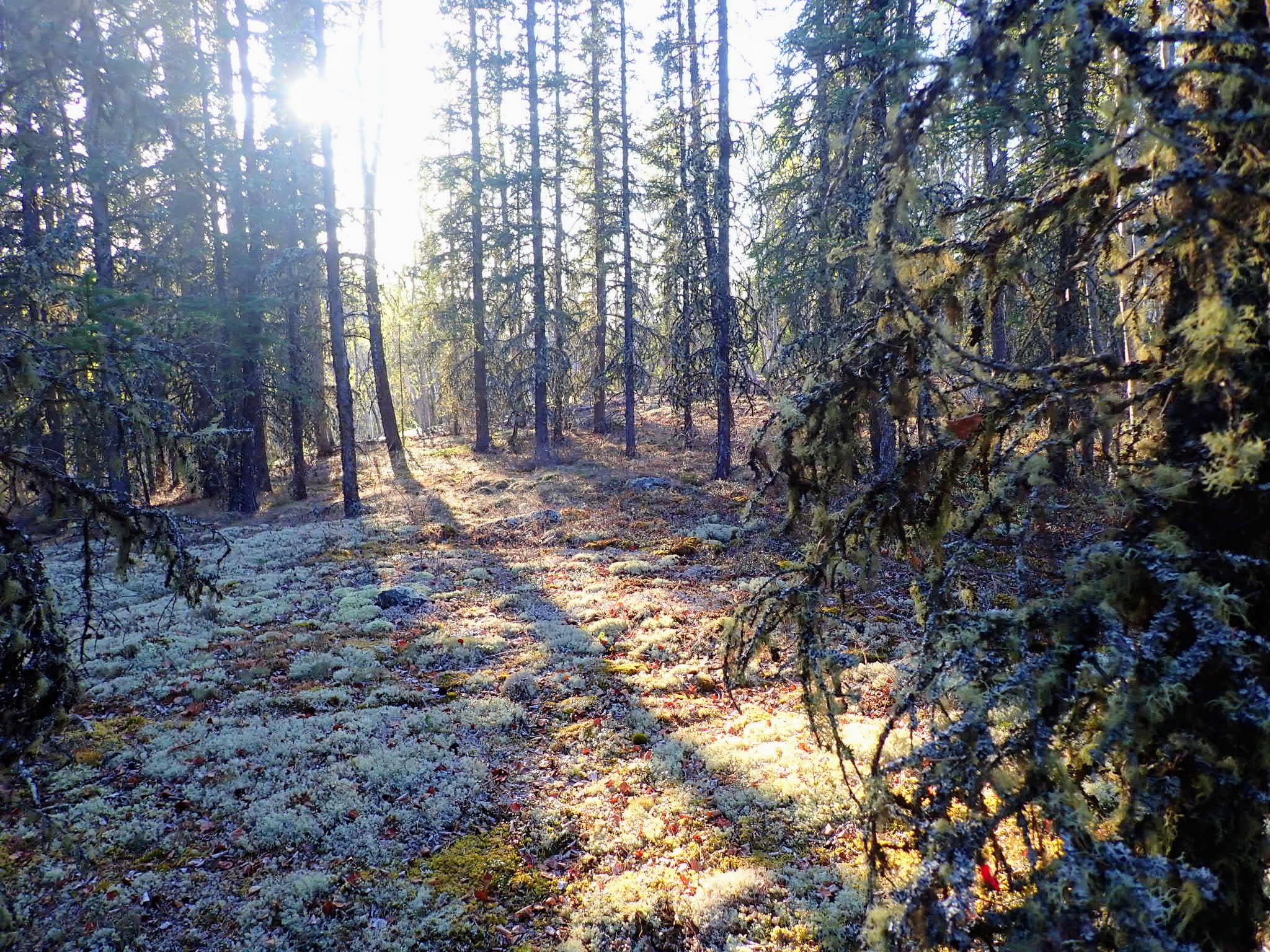
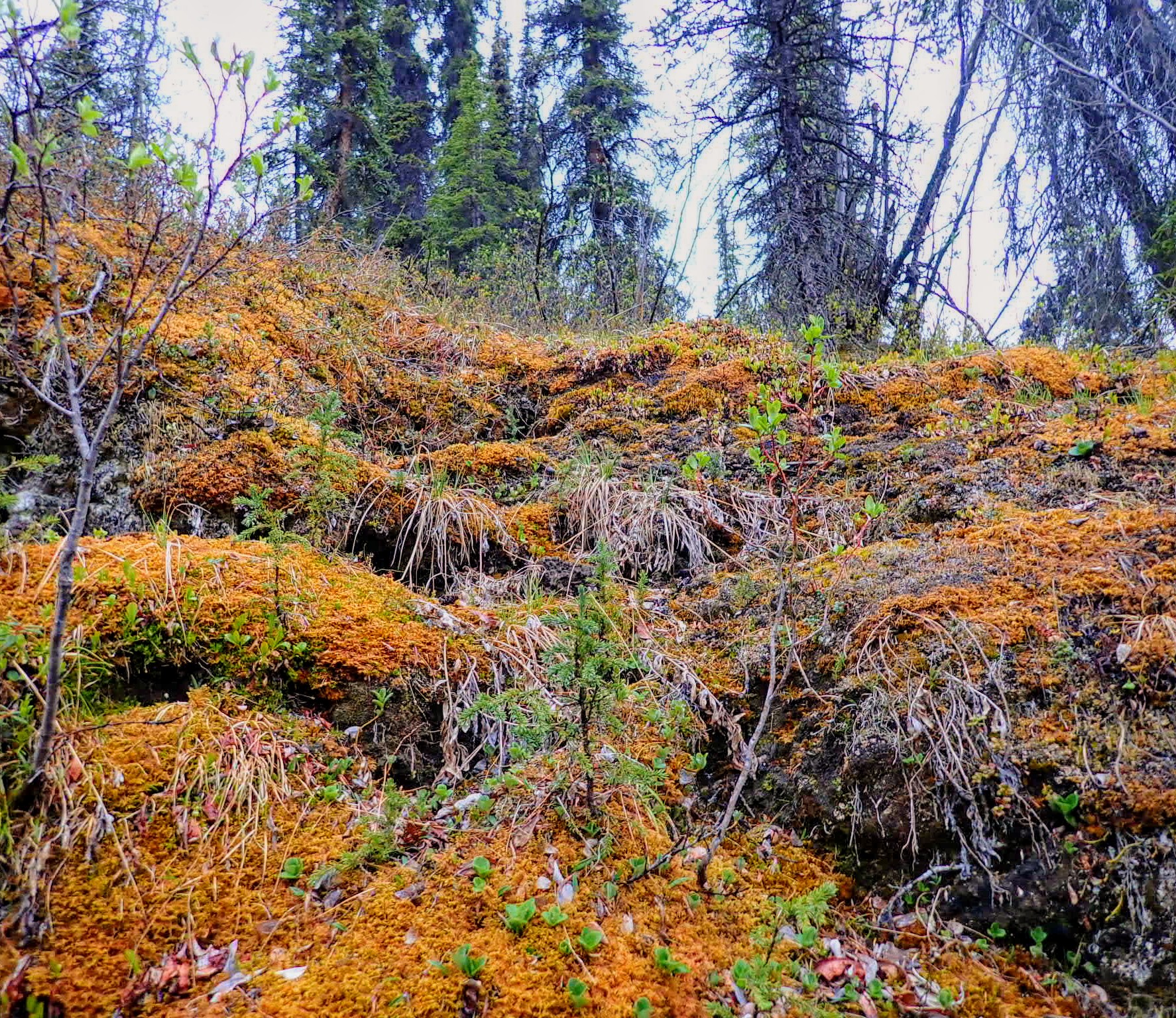
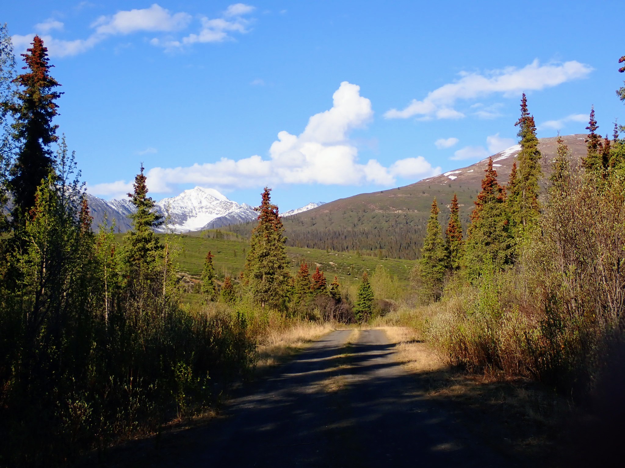
 A walking meditation path near Náátsʼihchʼoh
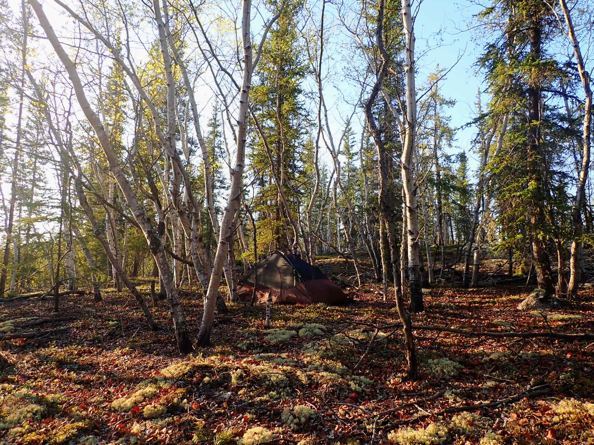
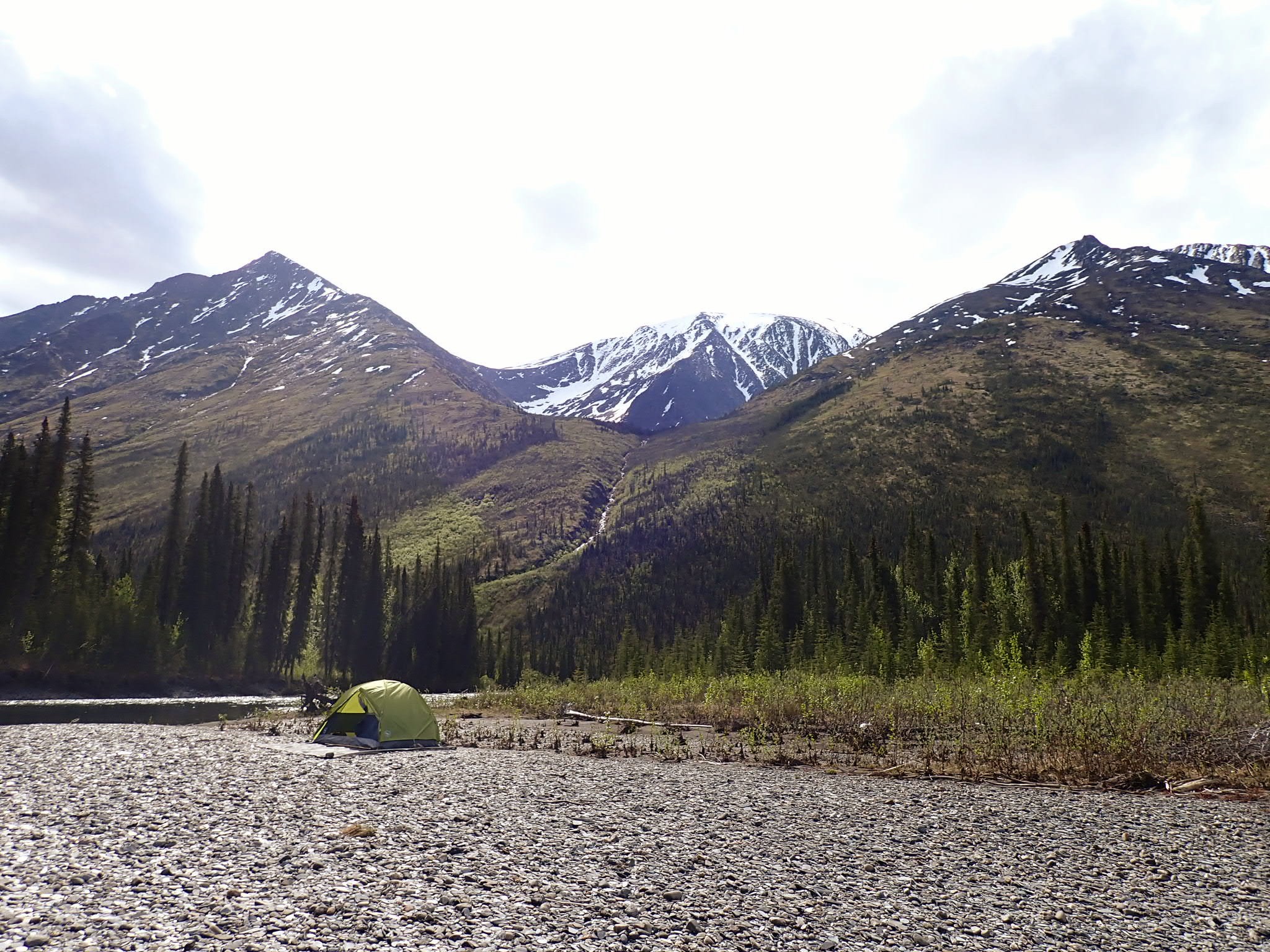
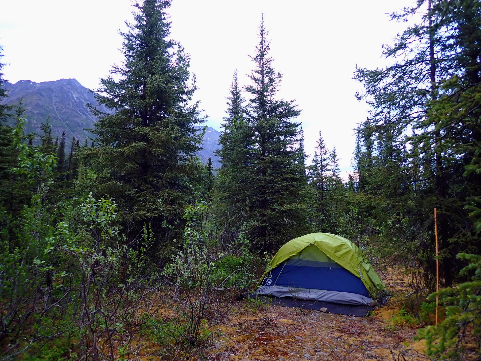 Backcountry camping near Náátsʼihchʼoh
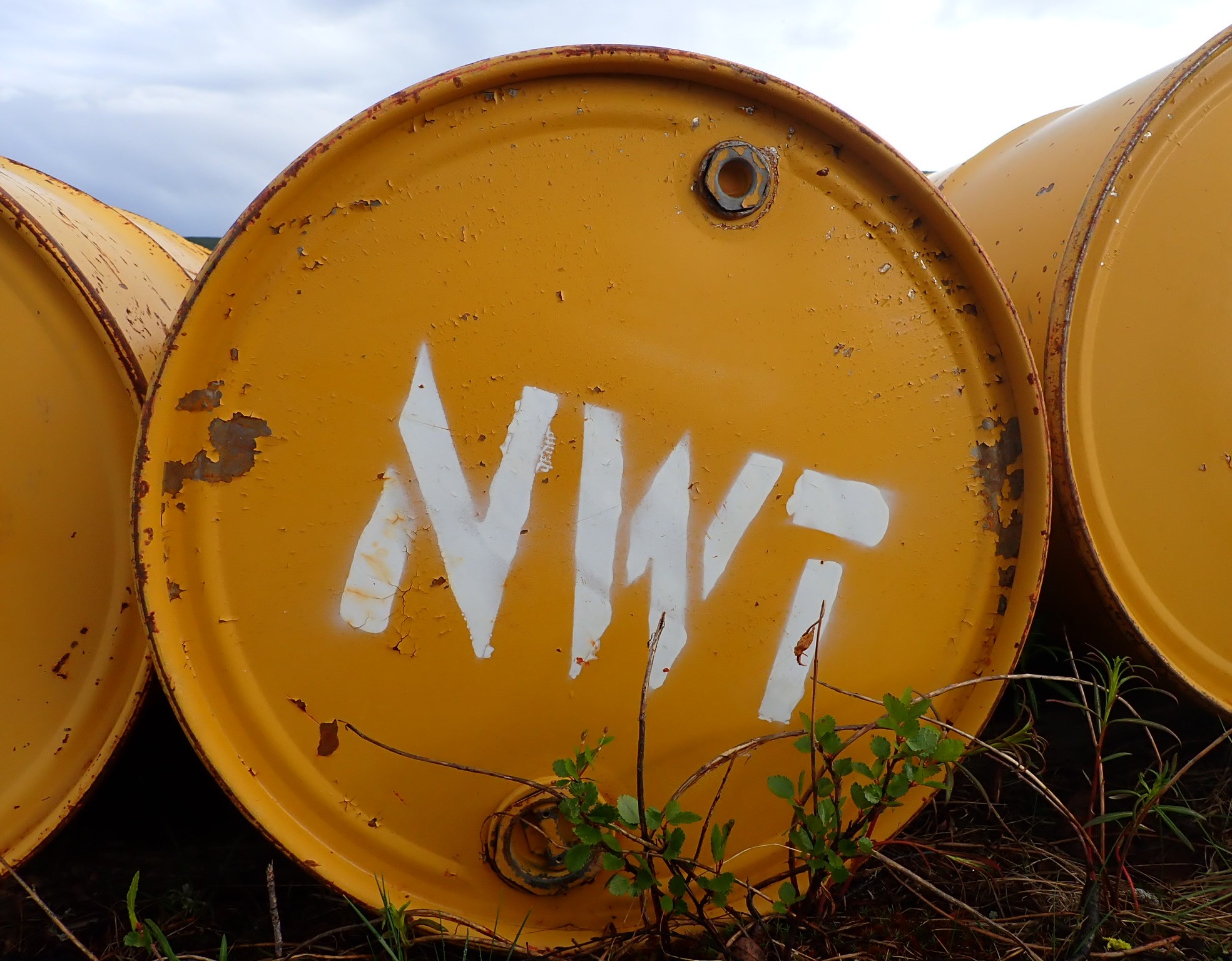
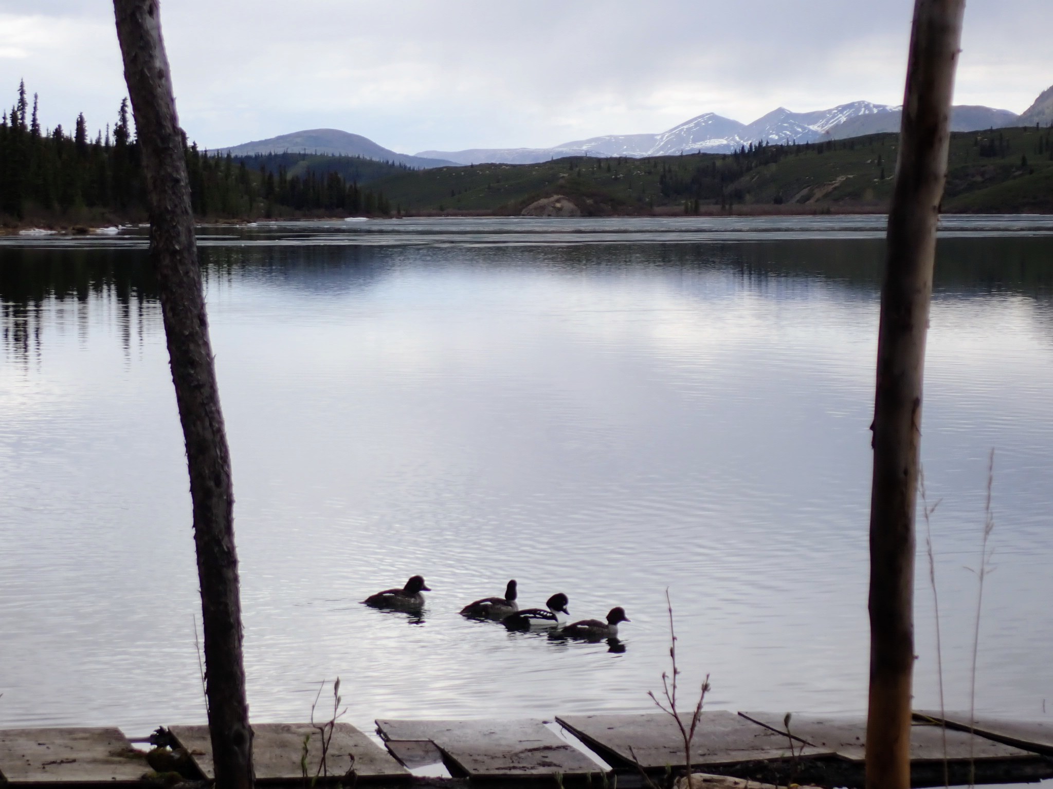
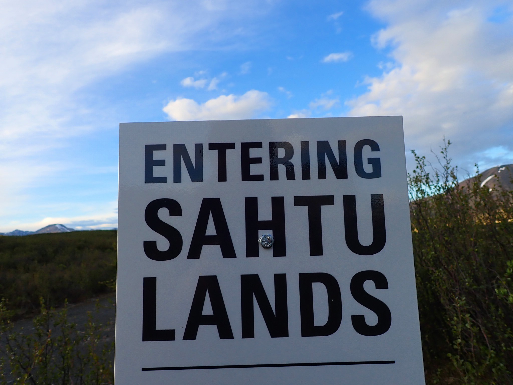
 Sahtu Region
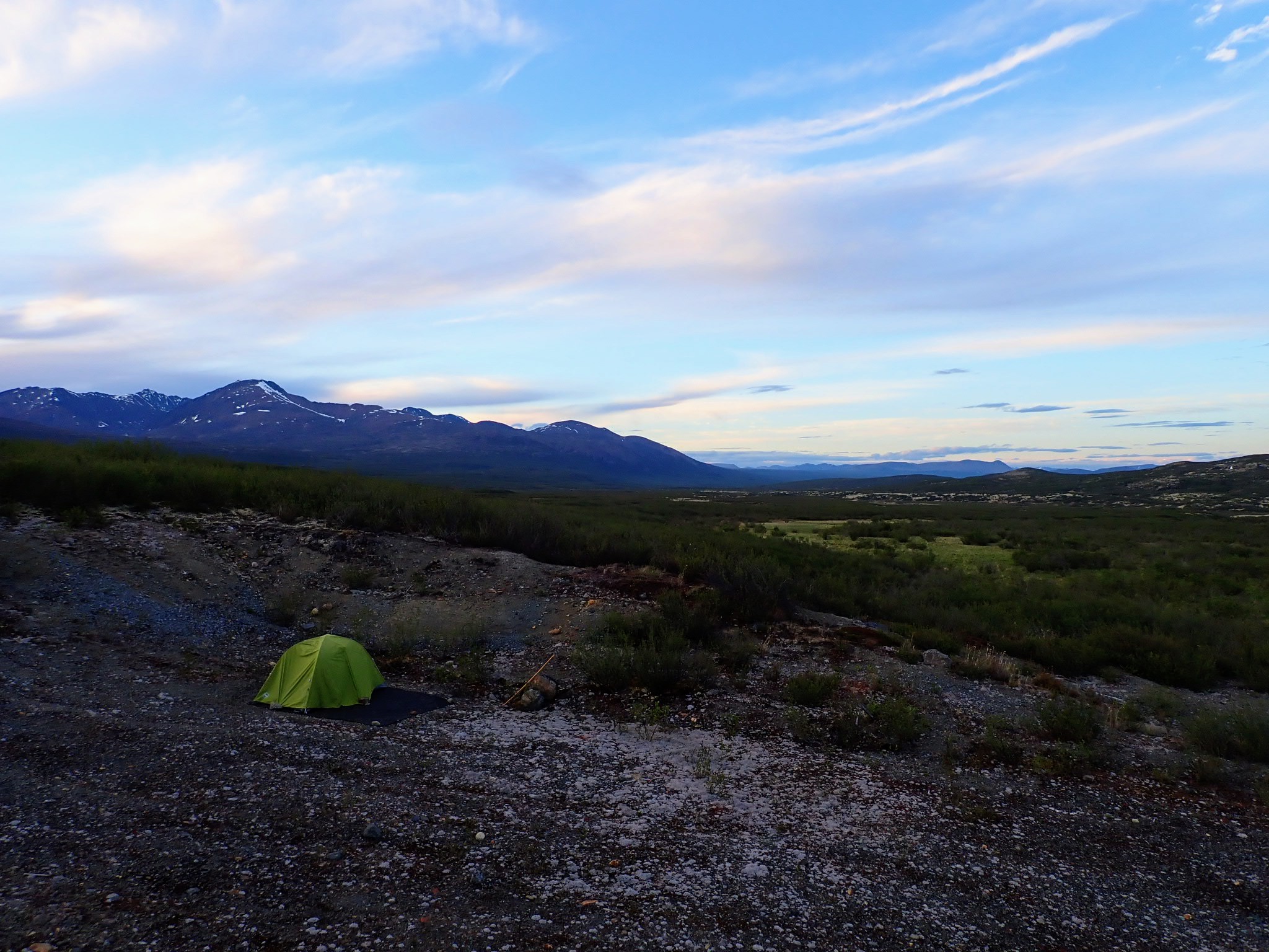
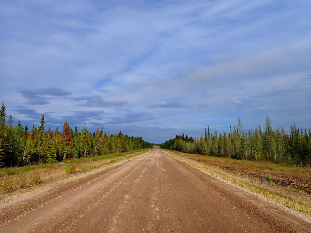
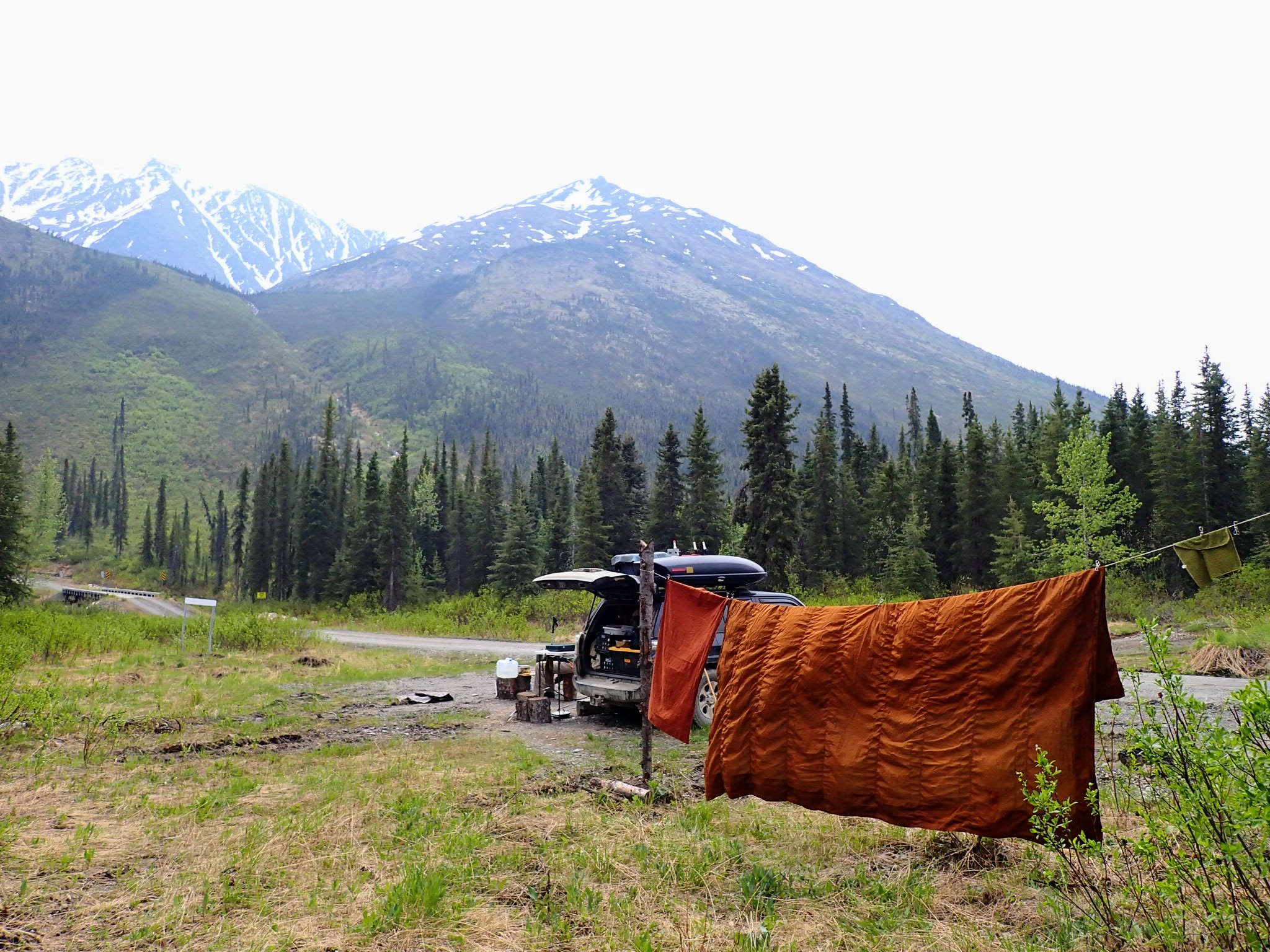
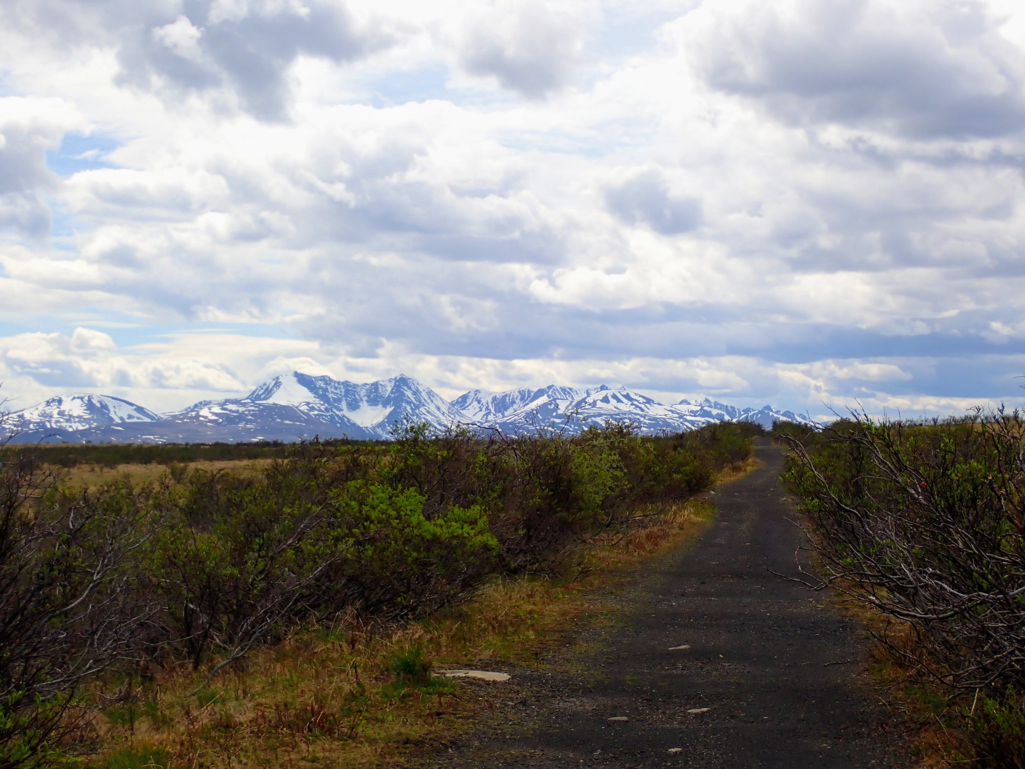
 Starting the Canol Heritage Trail (west-to-east)
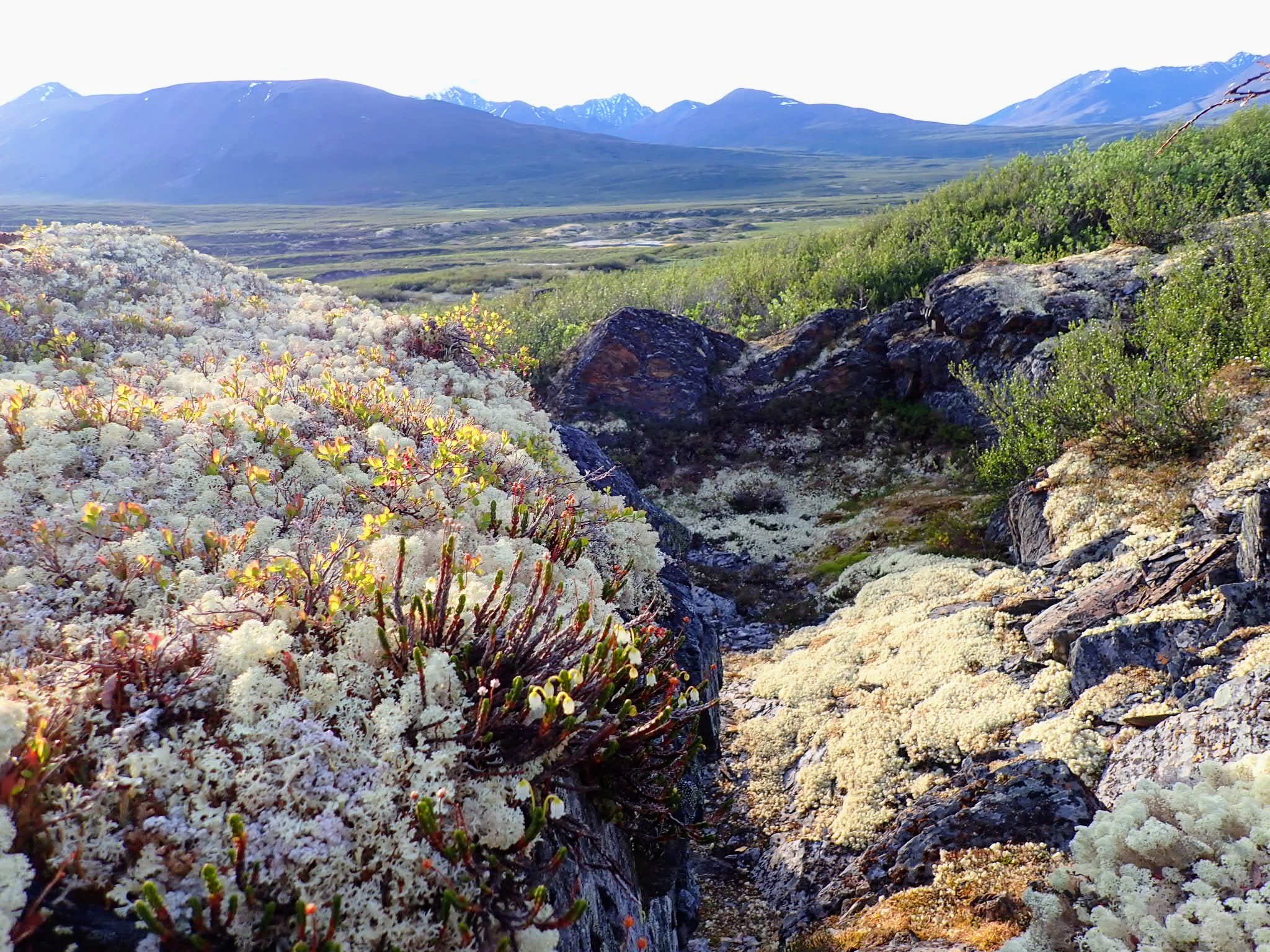
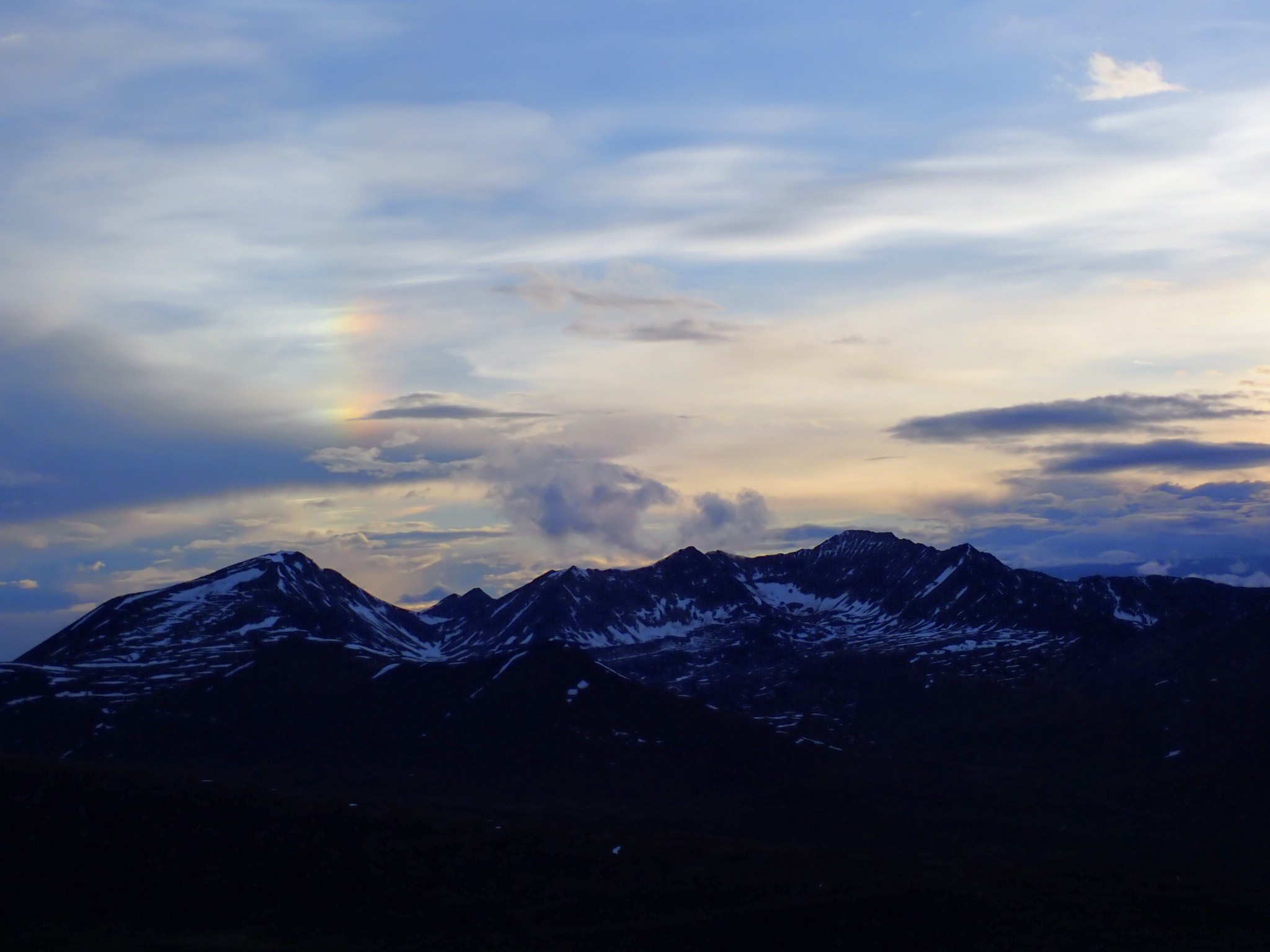
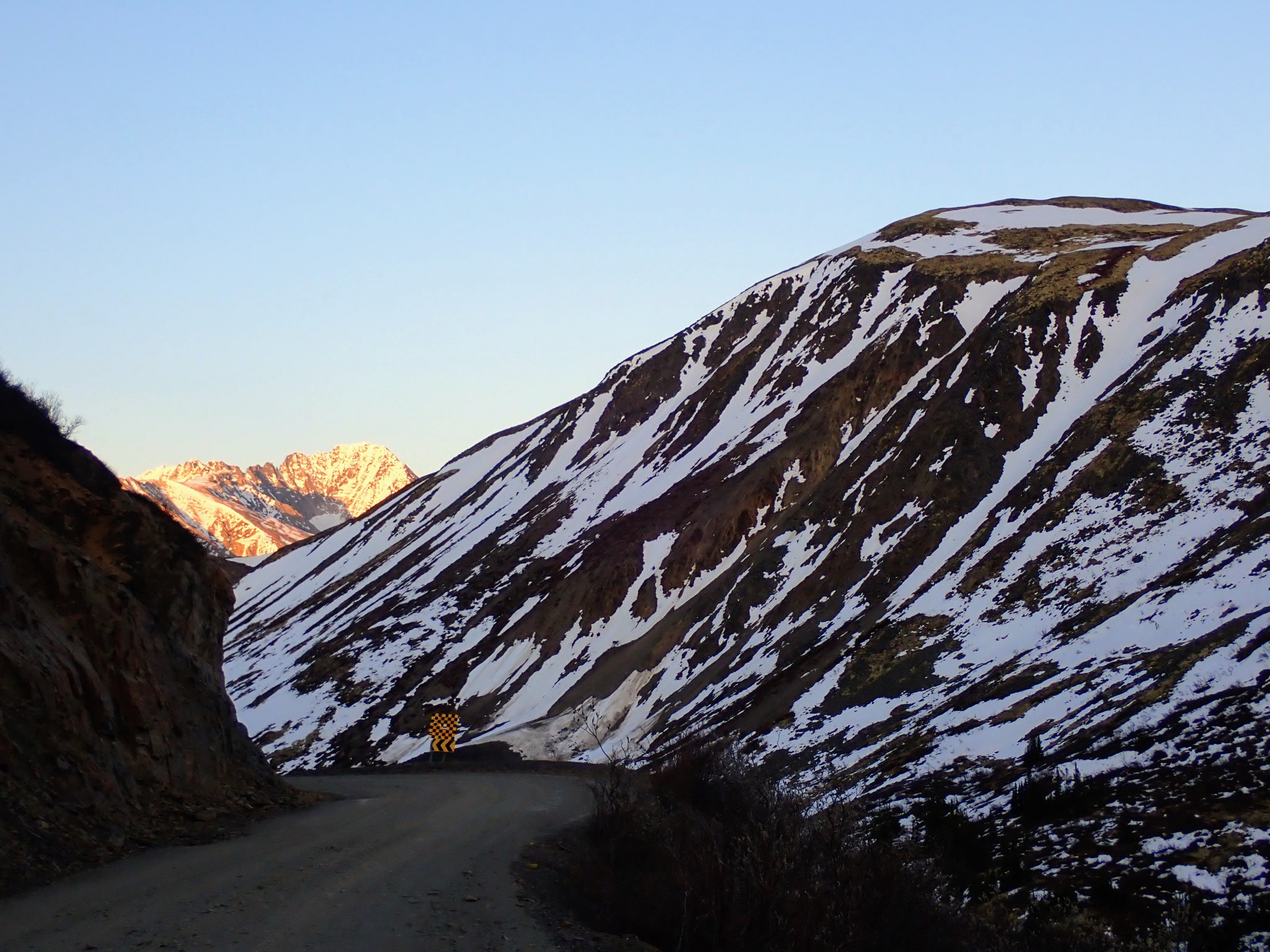
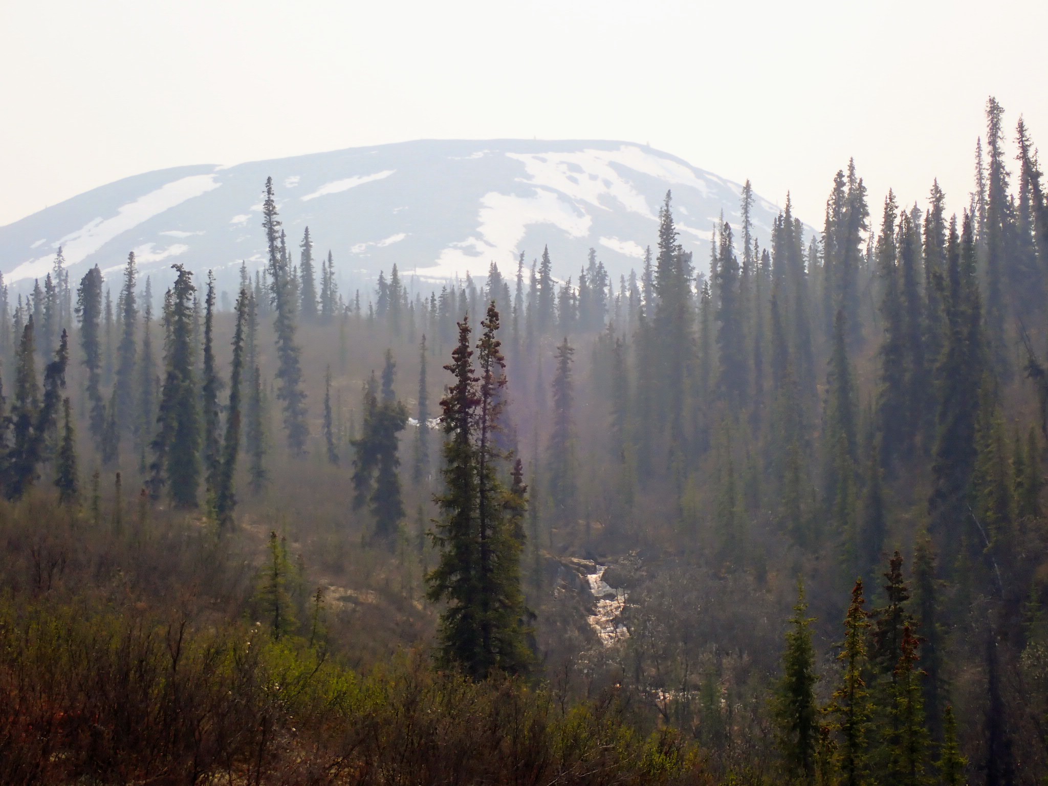
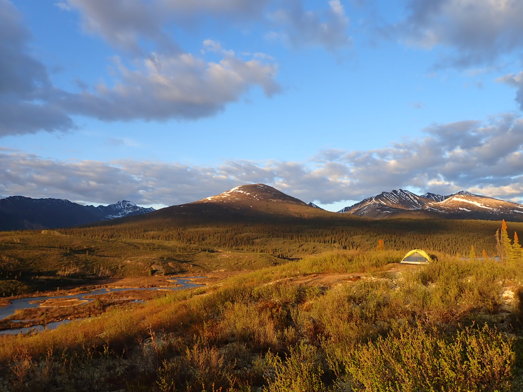
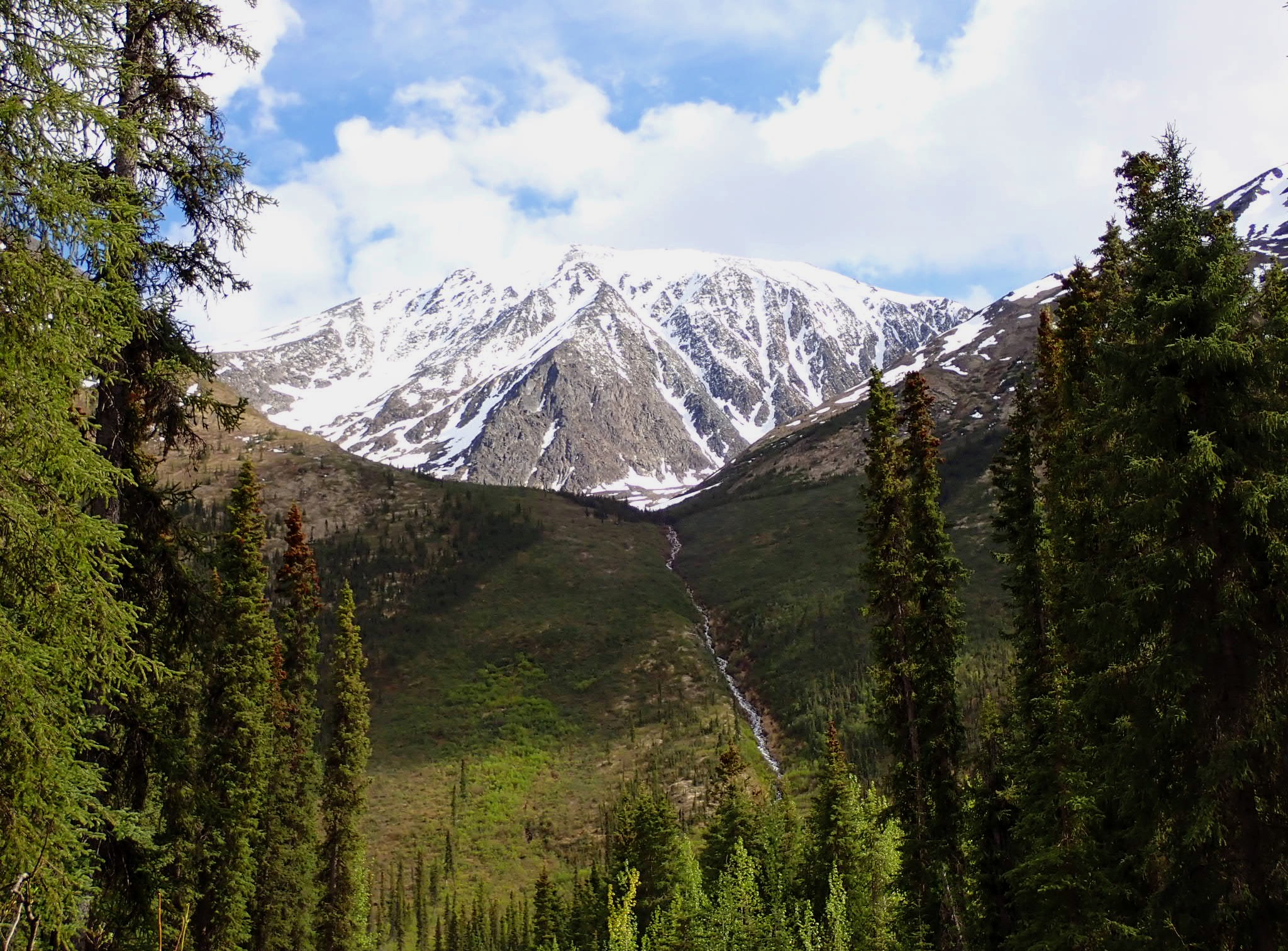
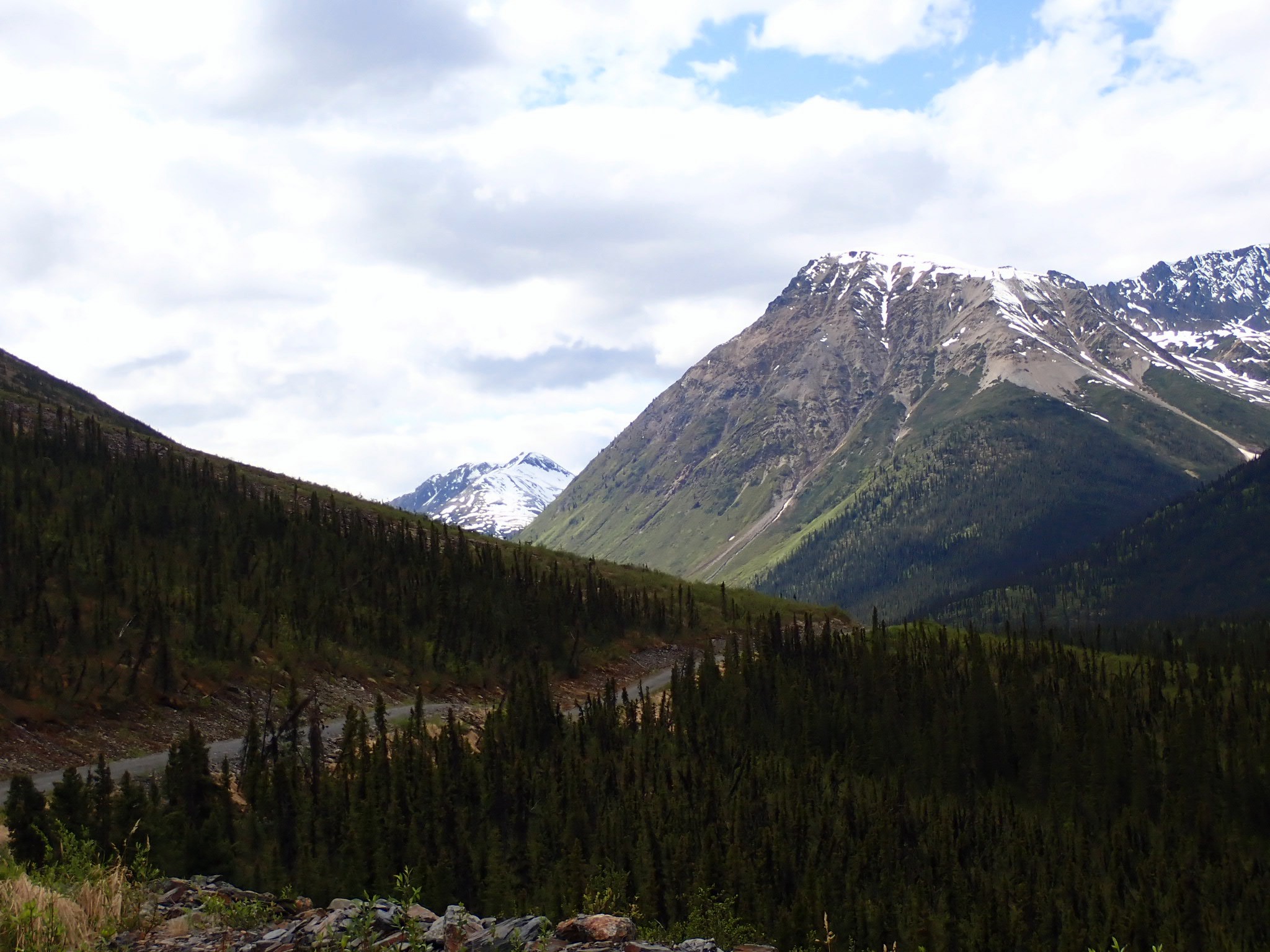
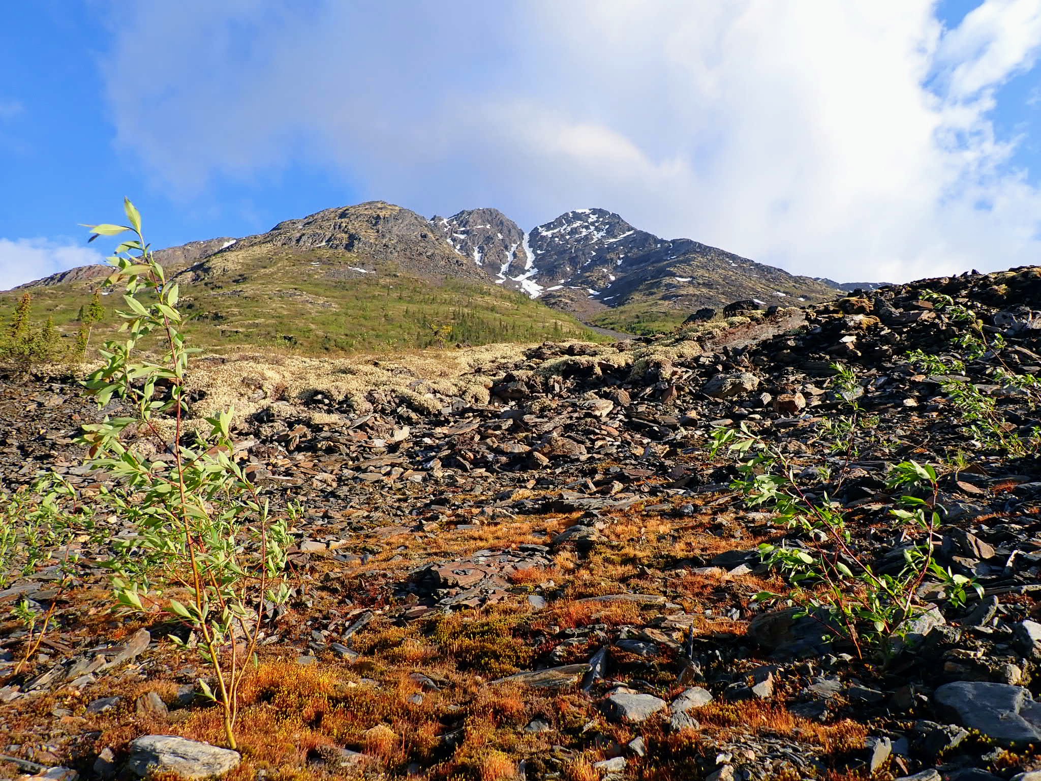
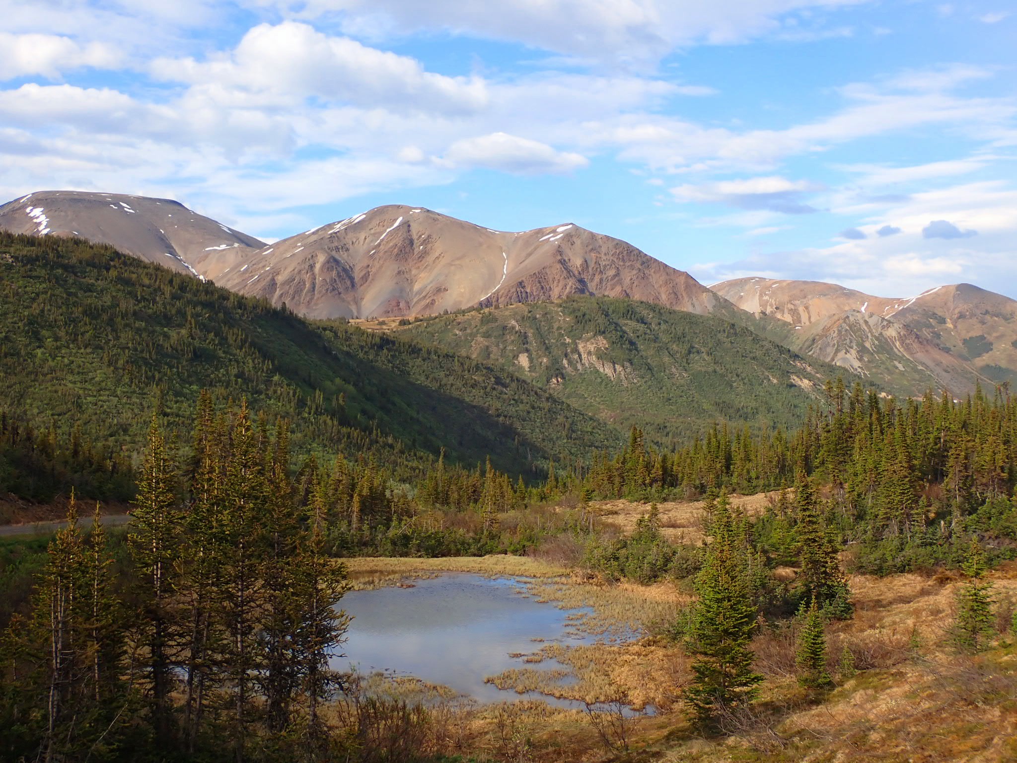
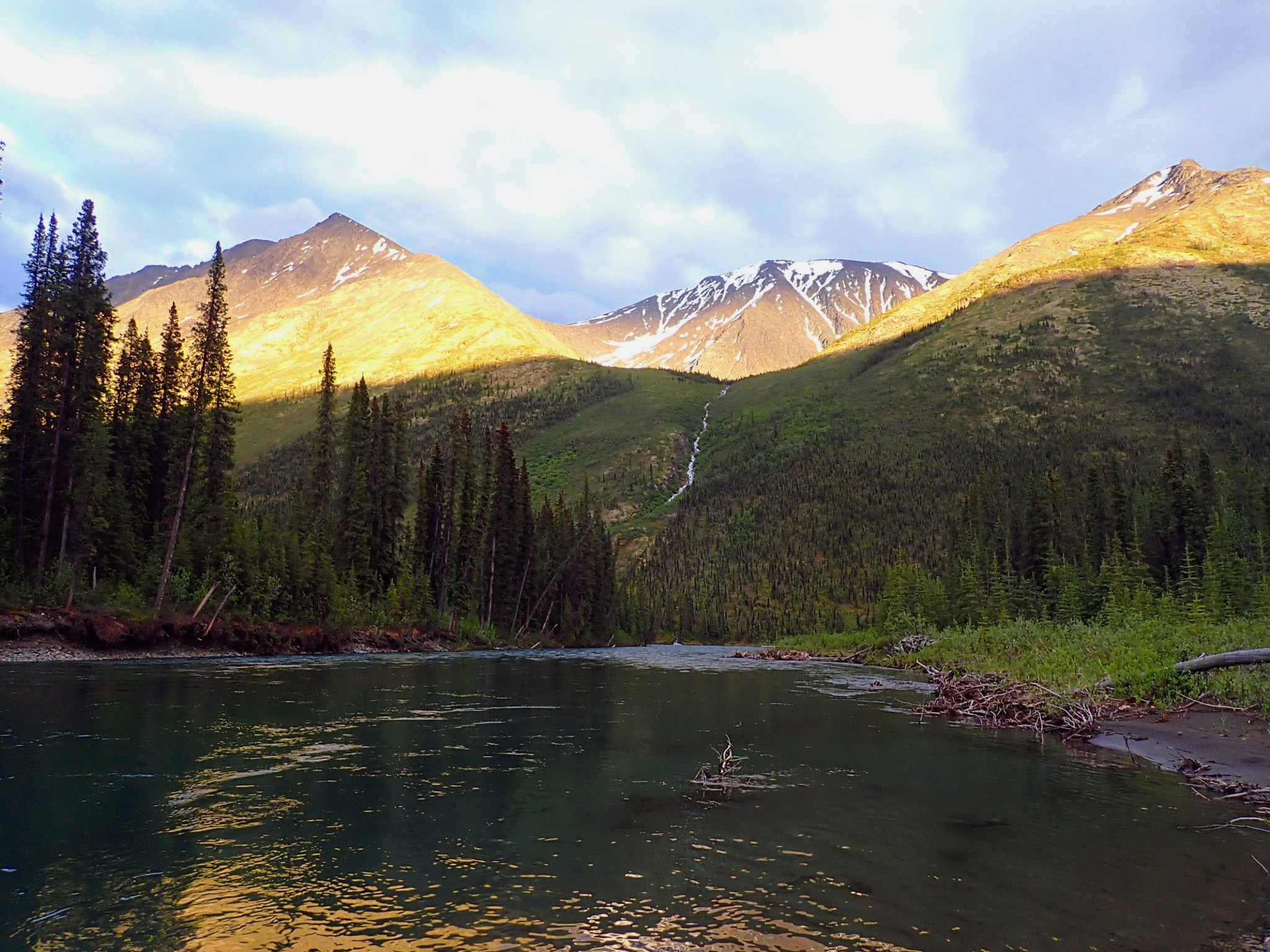
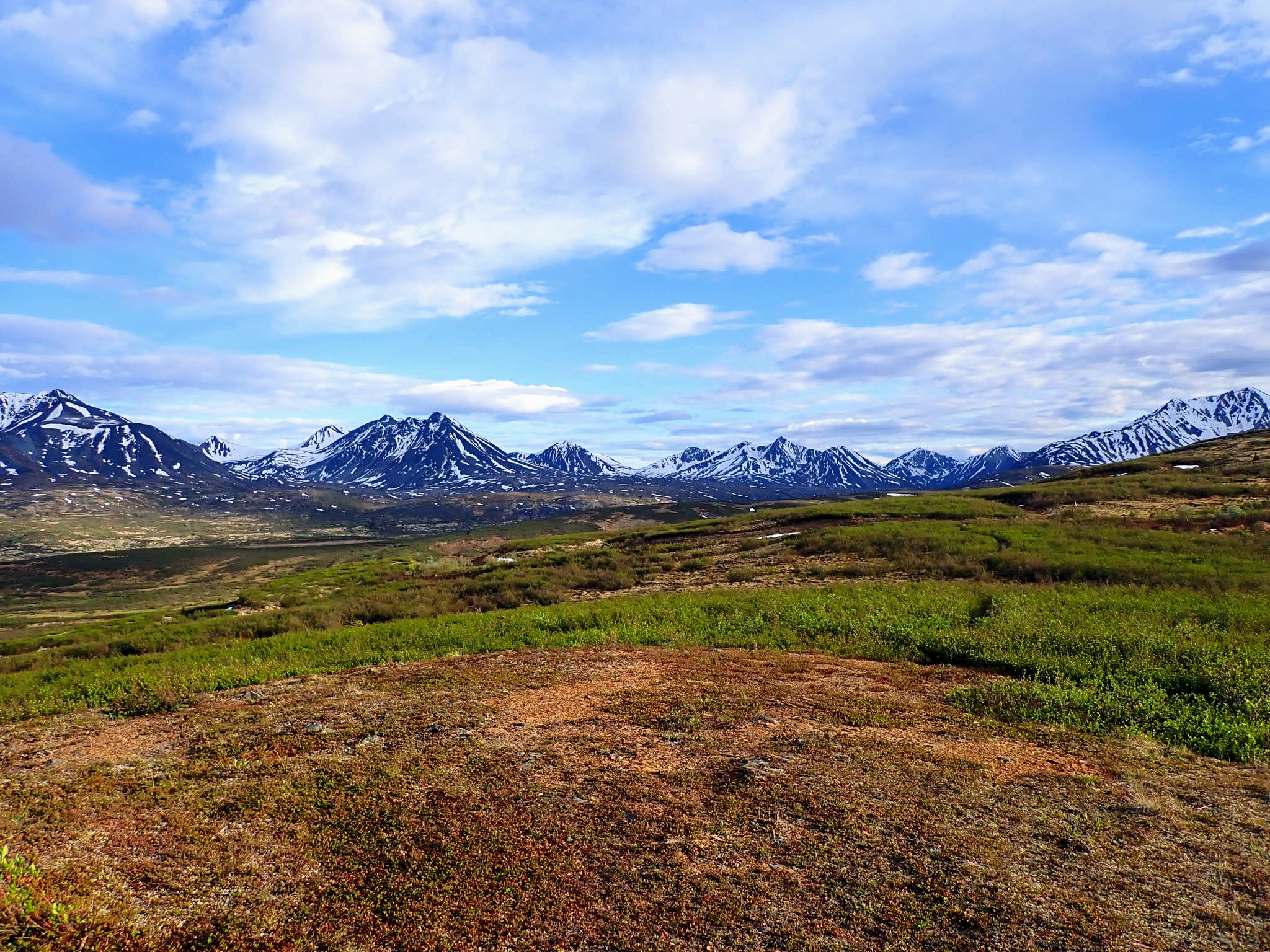
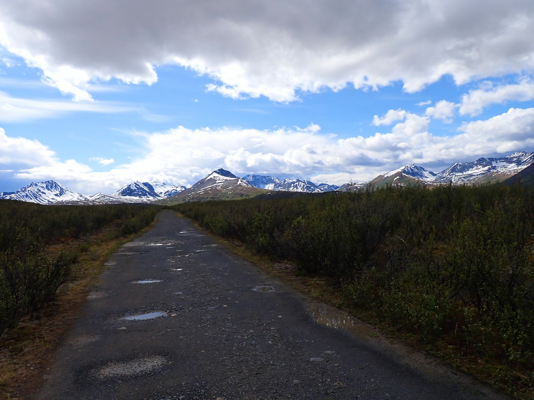
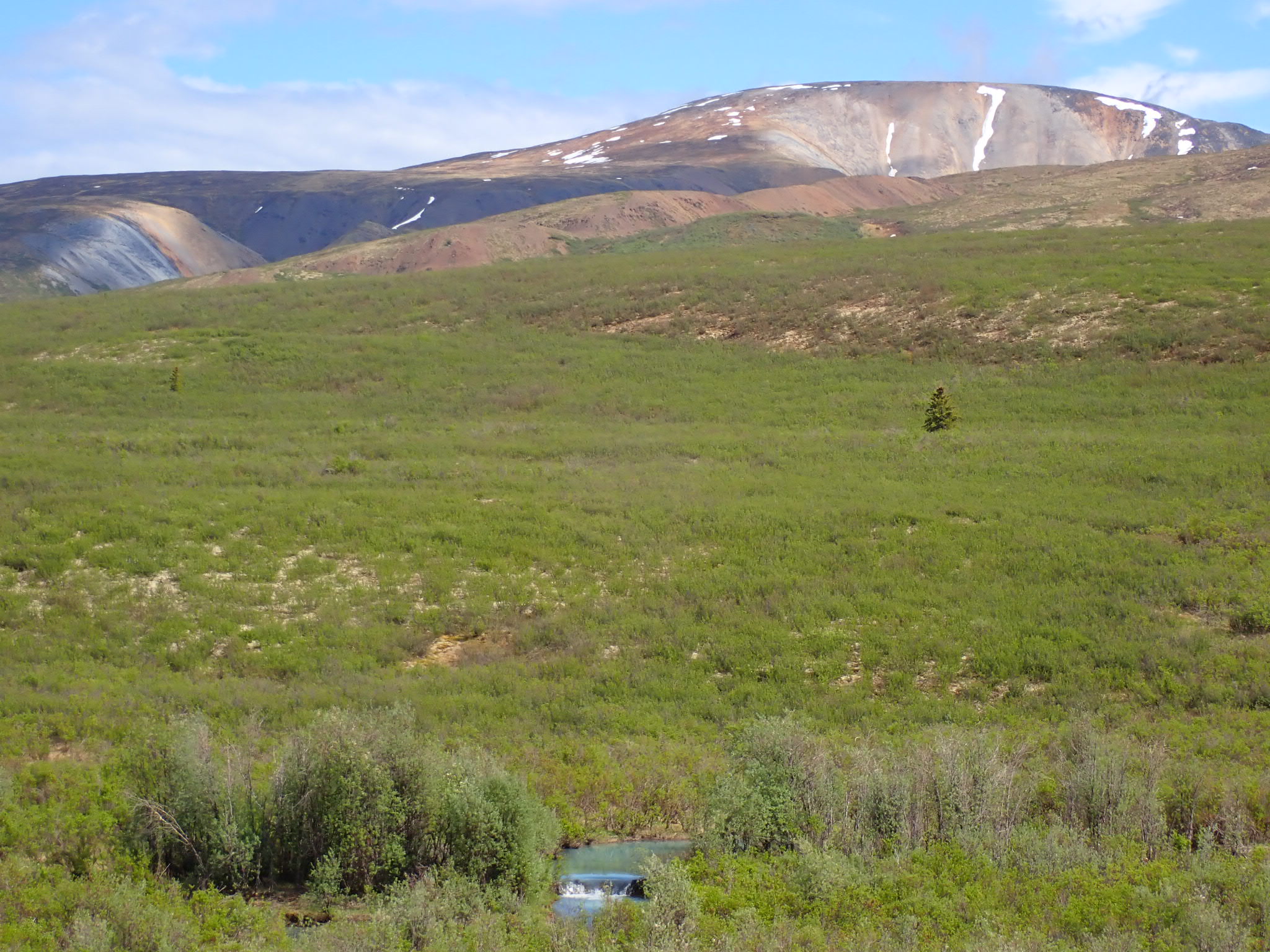
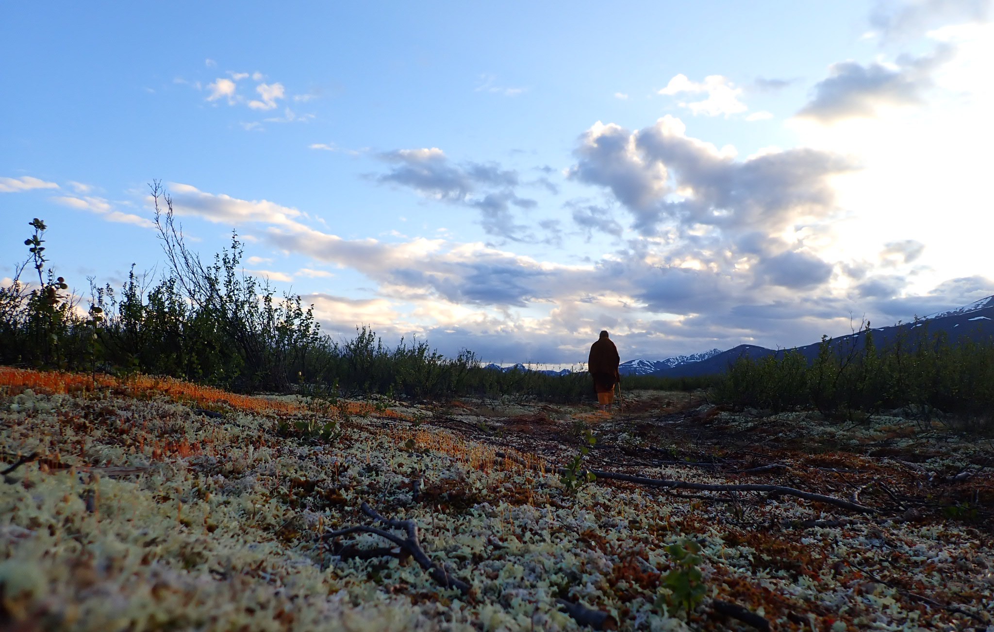
 Canol Heritage Trail near Mt. Fred Andrew
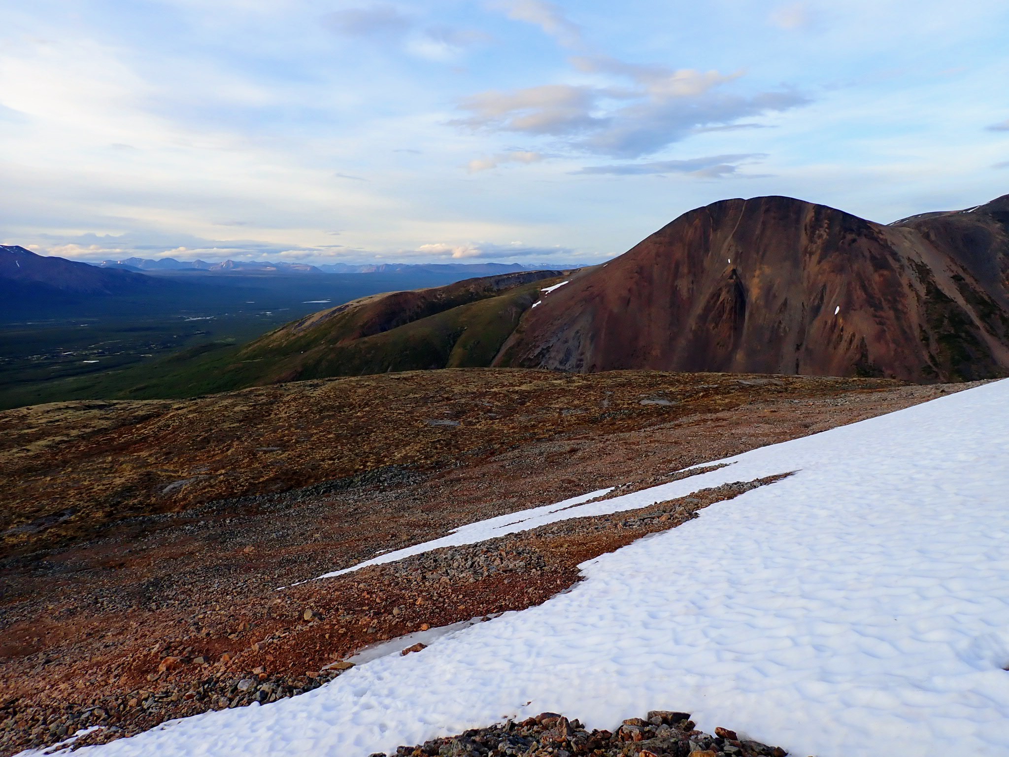
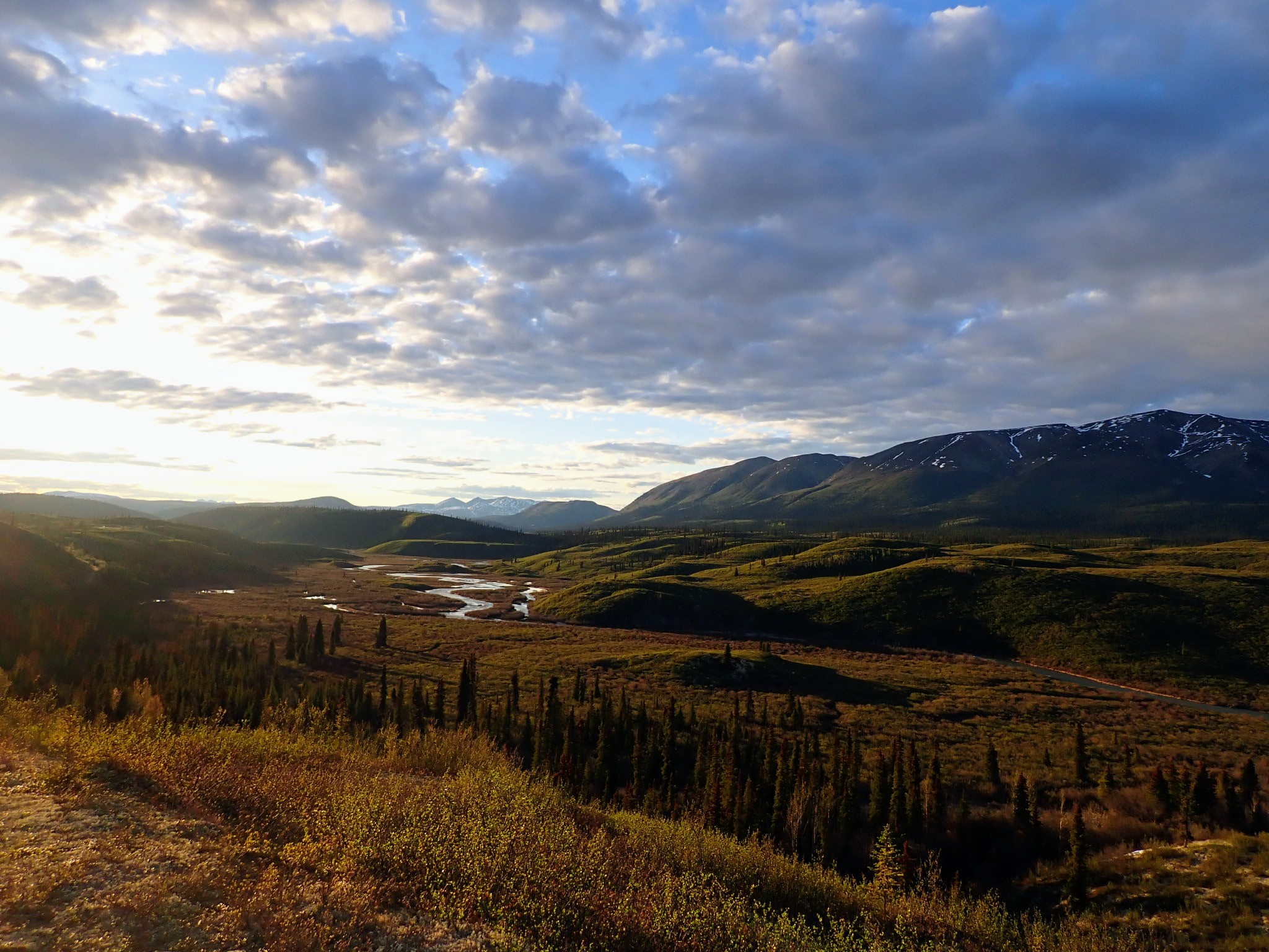
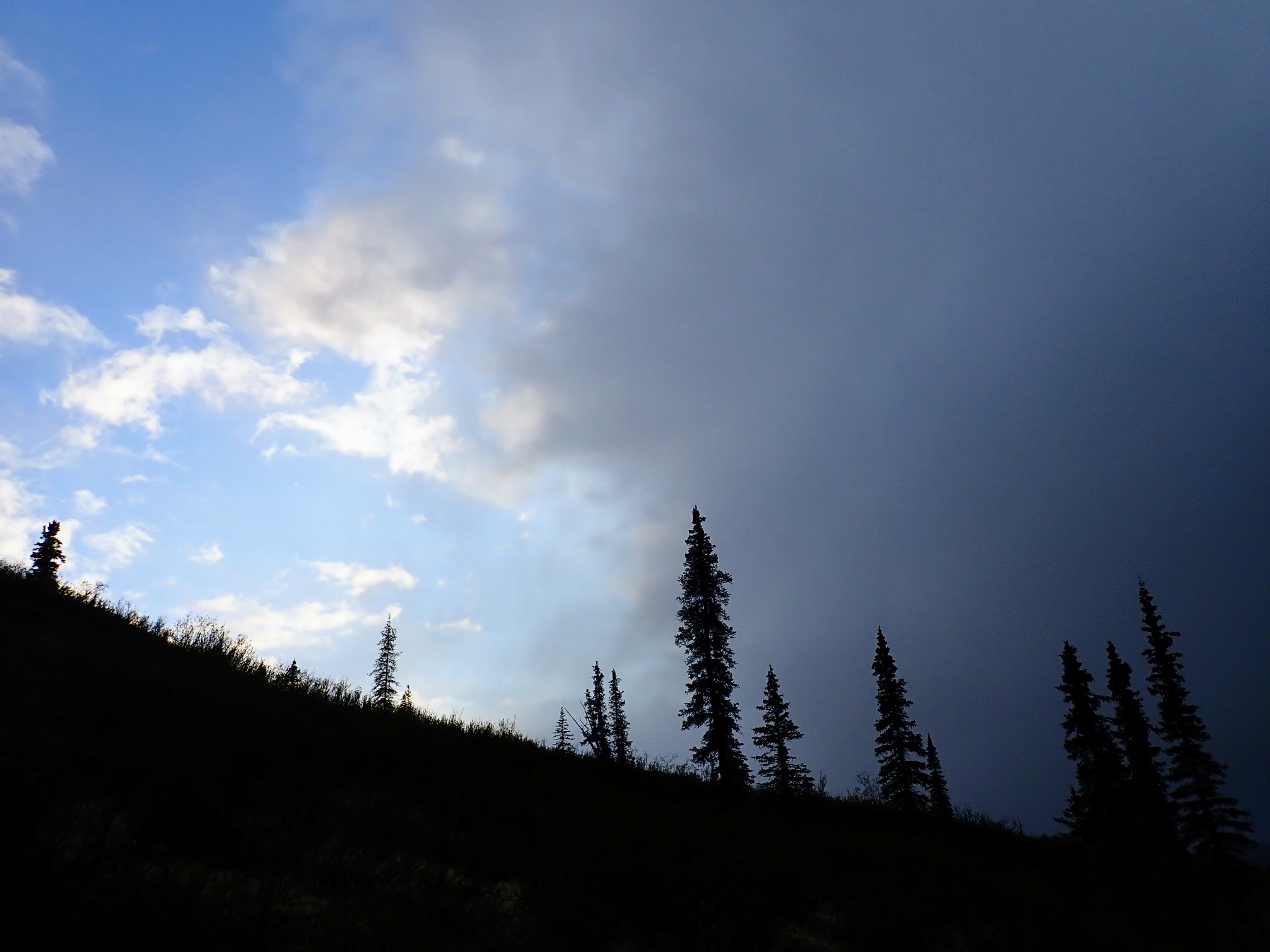
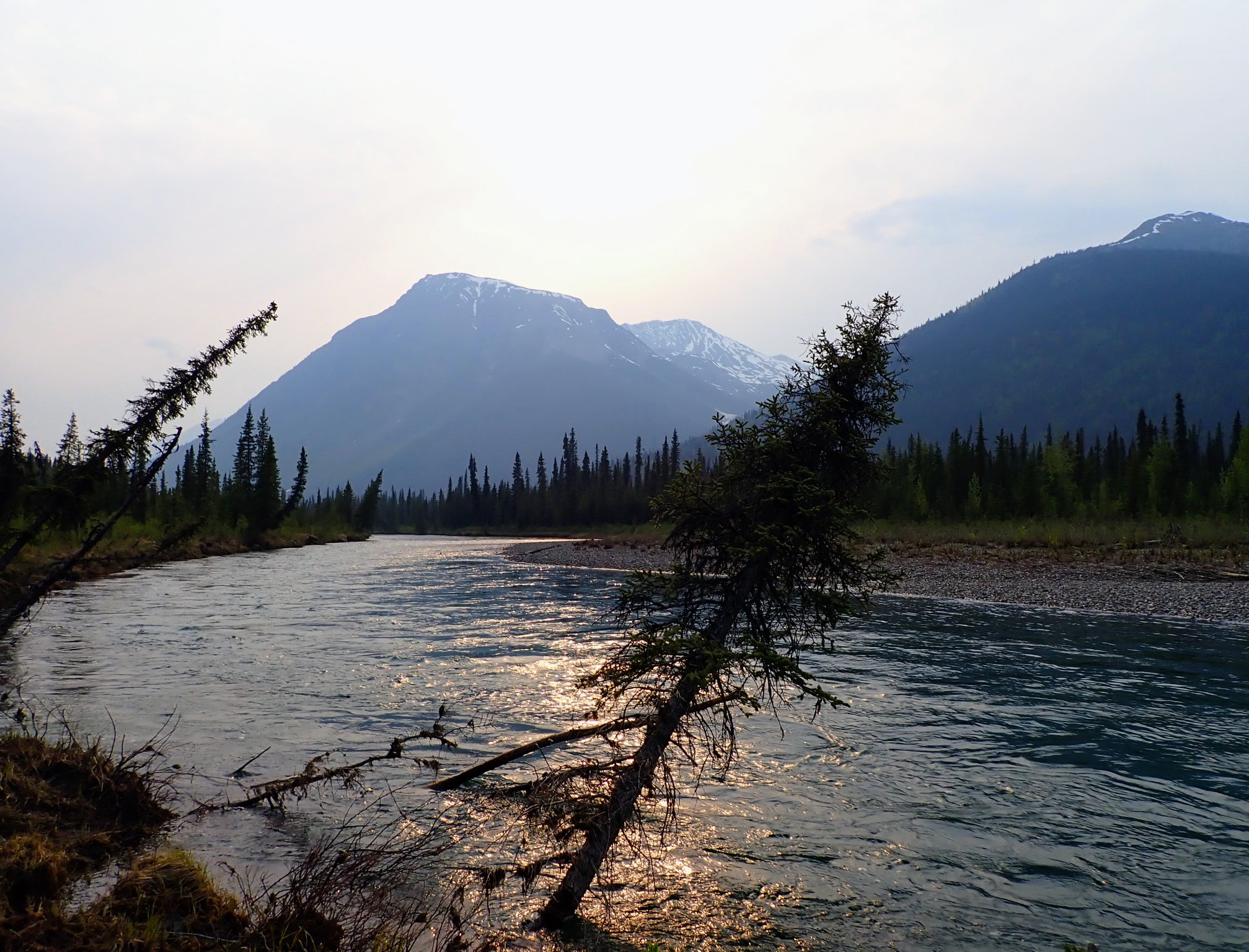
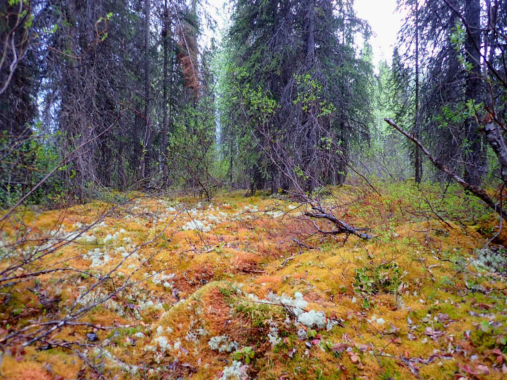
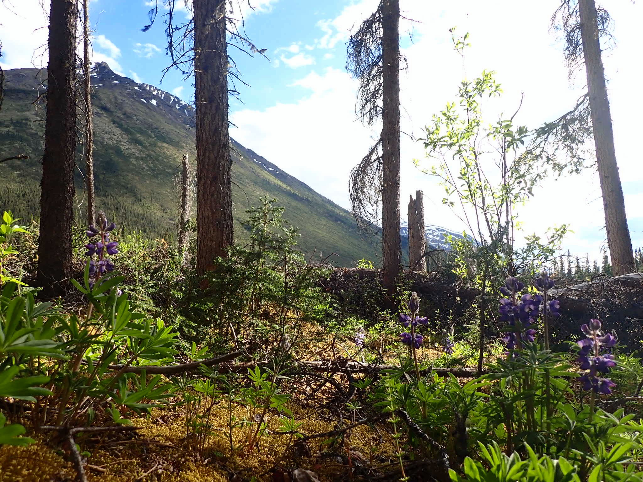
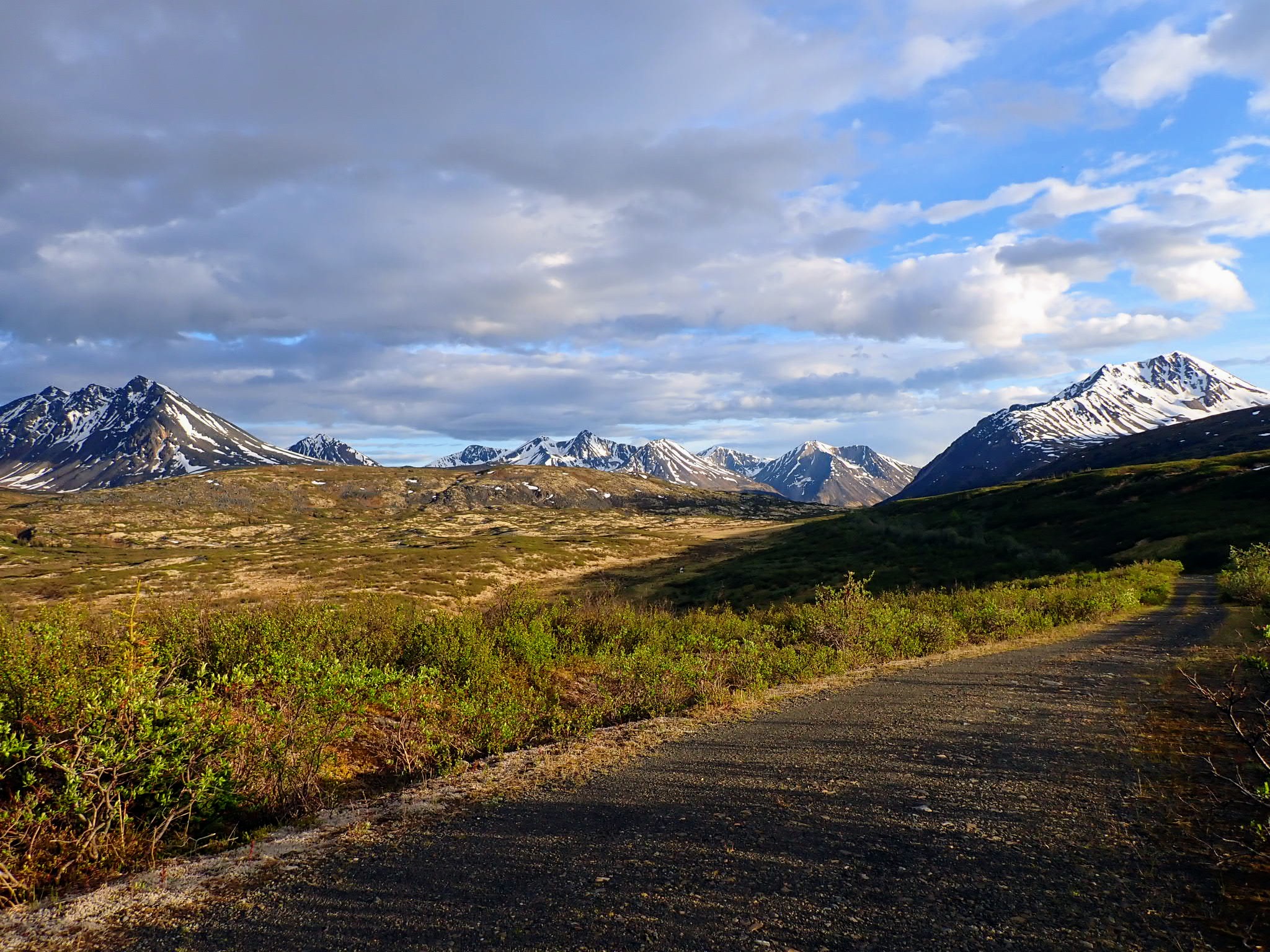
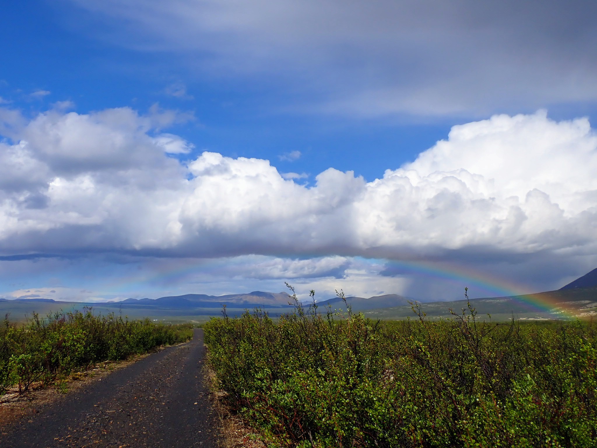
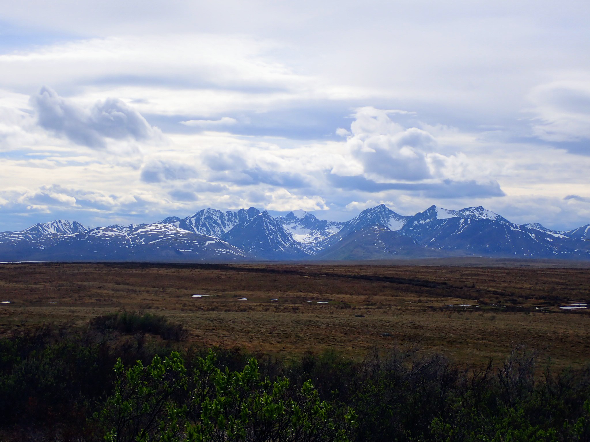
 Canol Heritage Trail
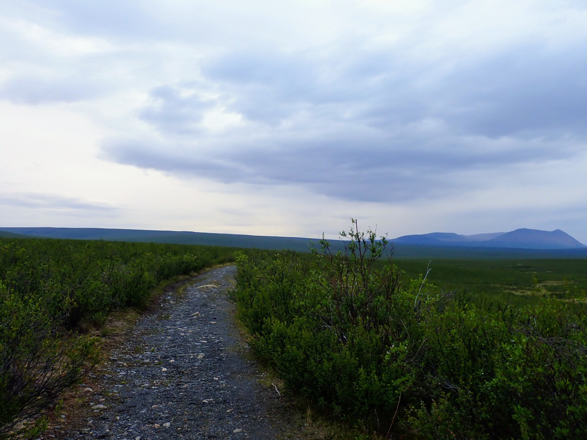
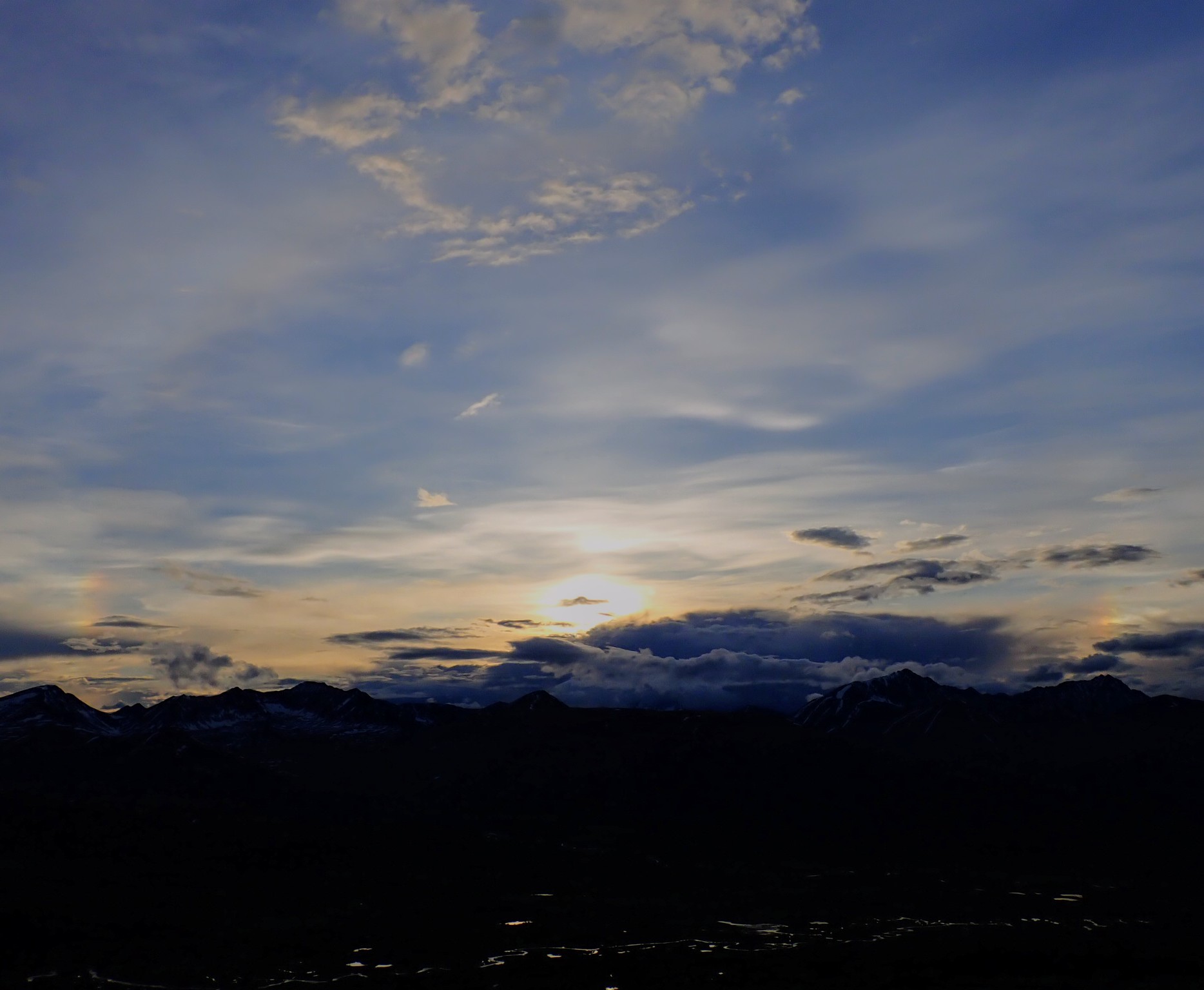
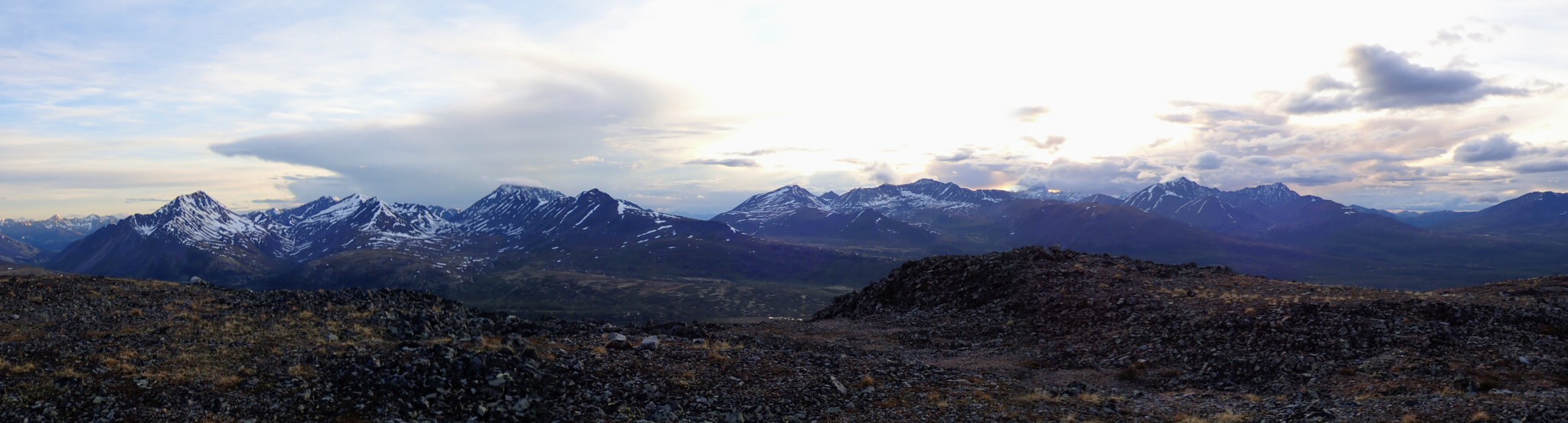
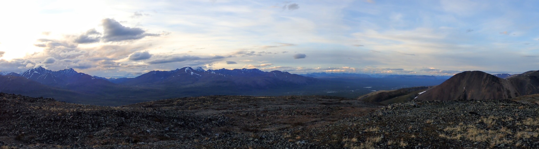
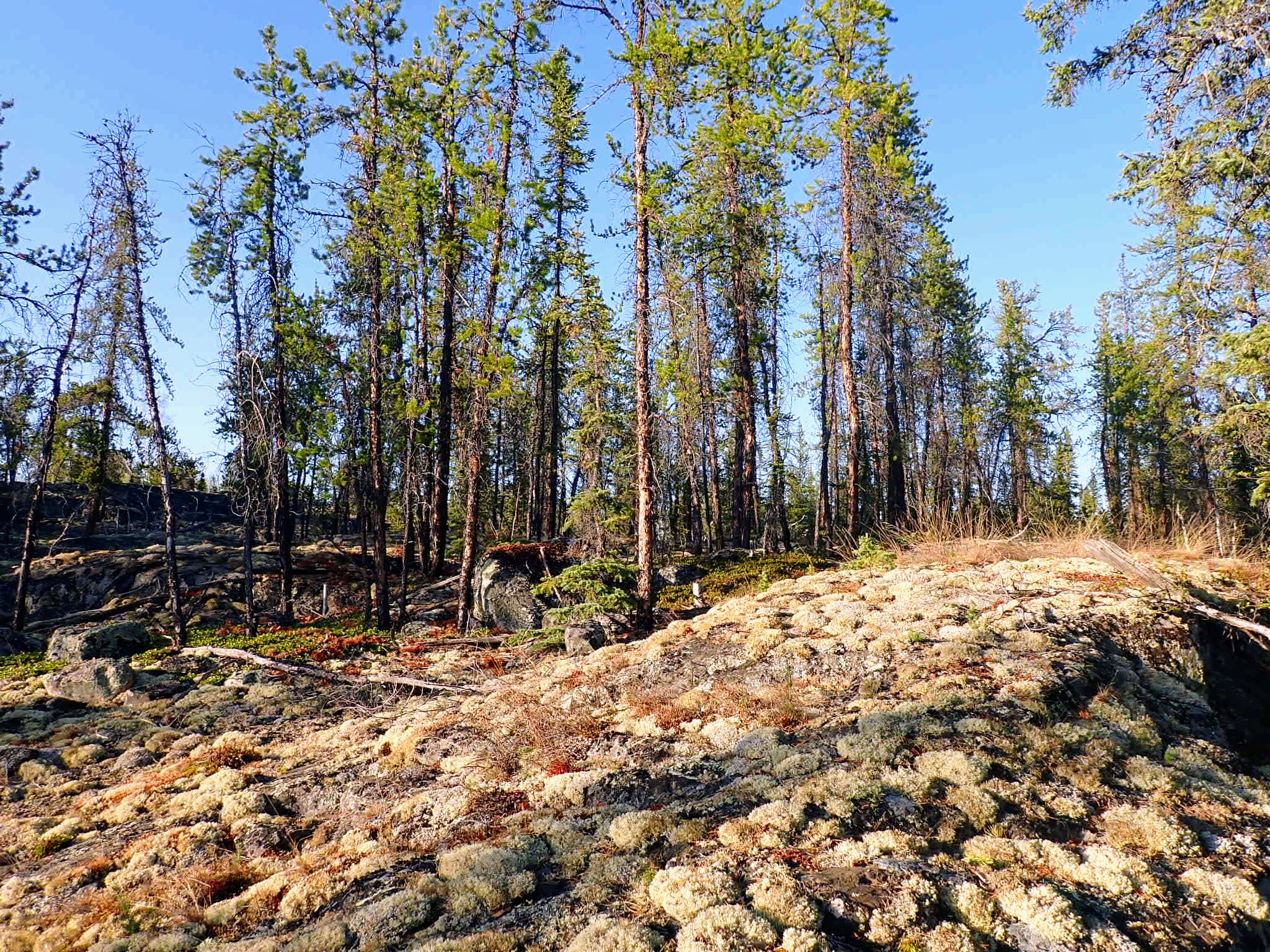
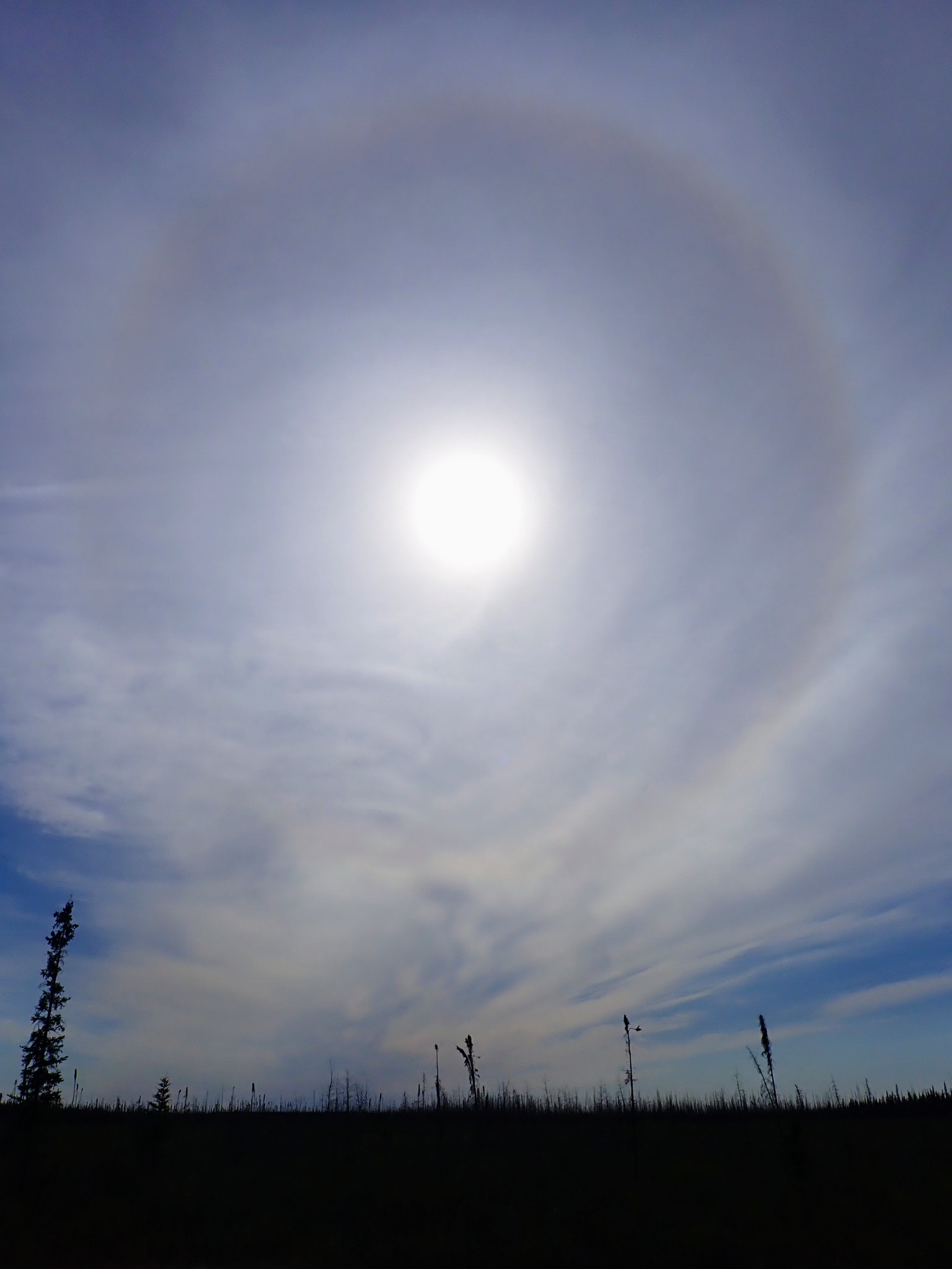
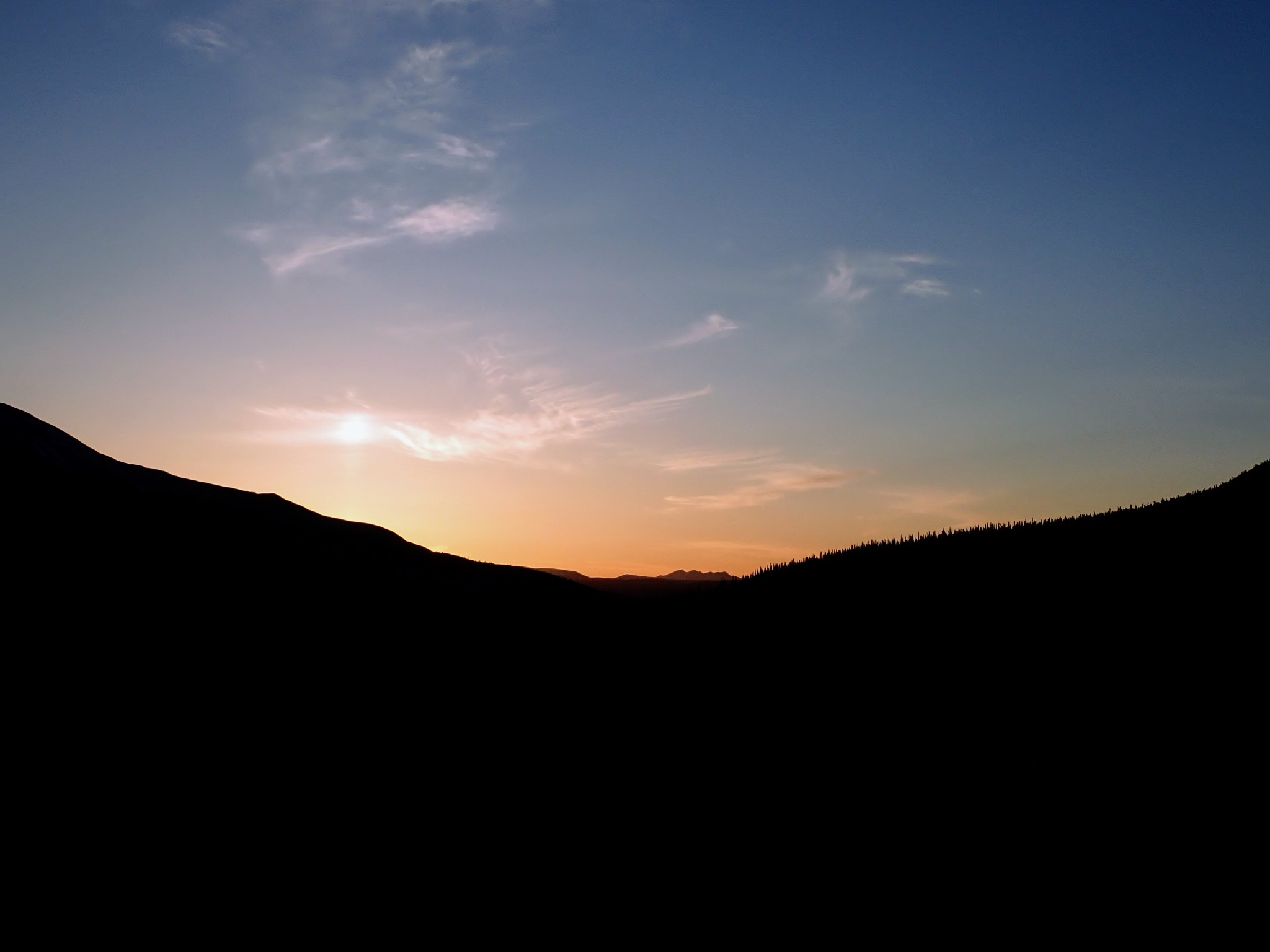
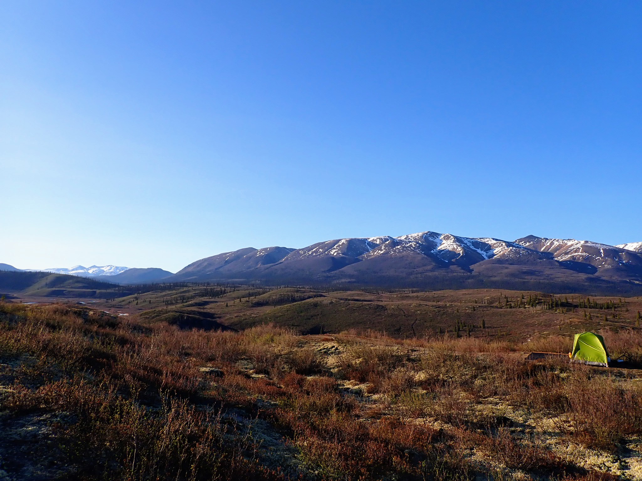
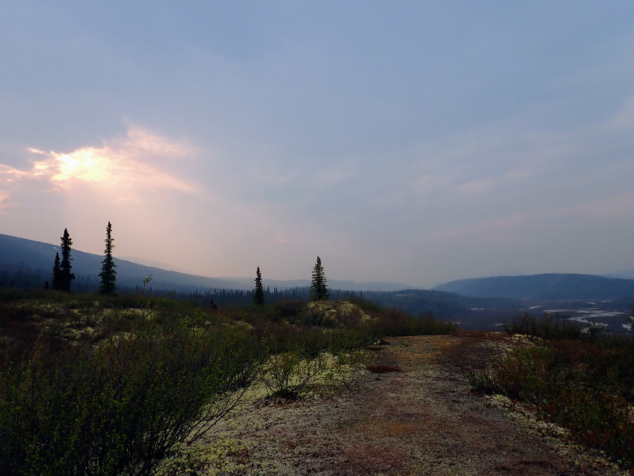
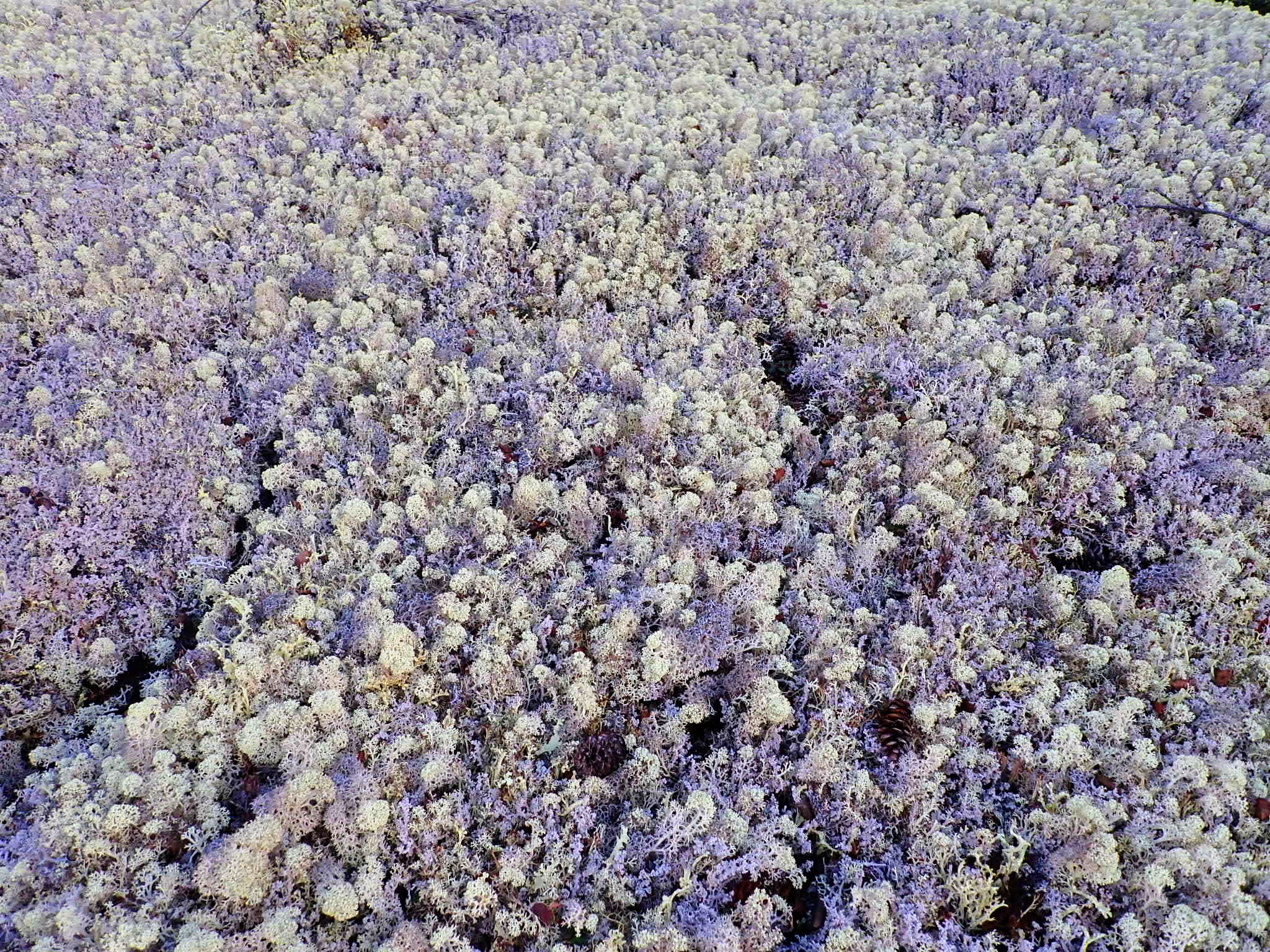
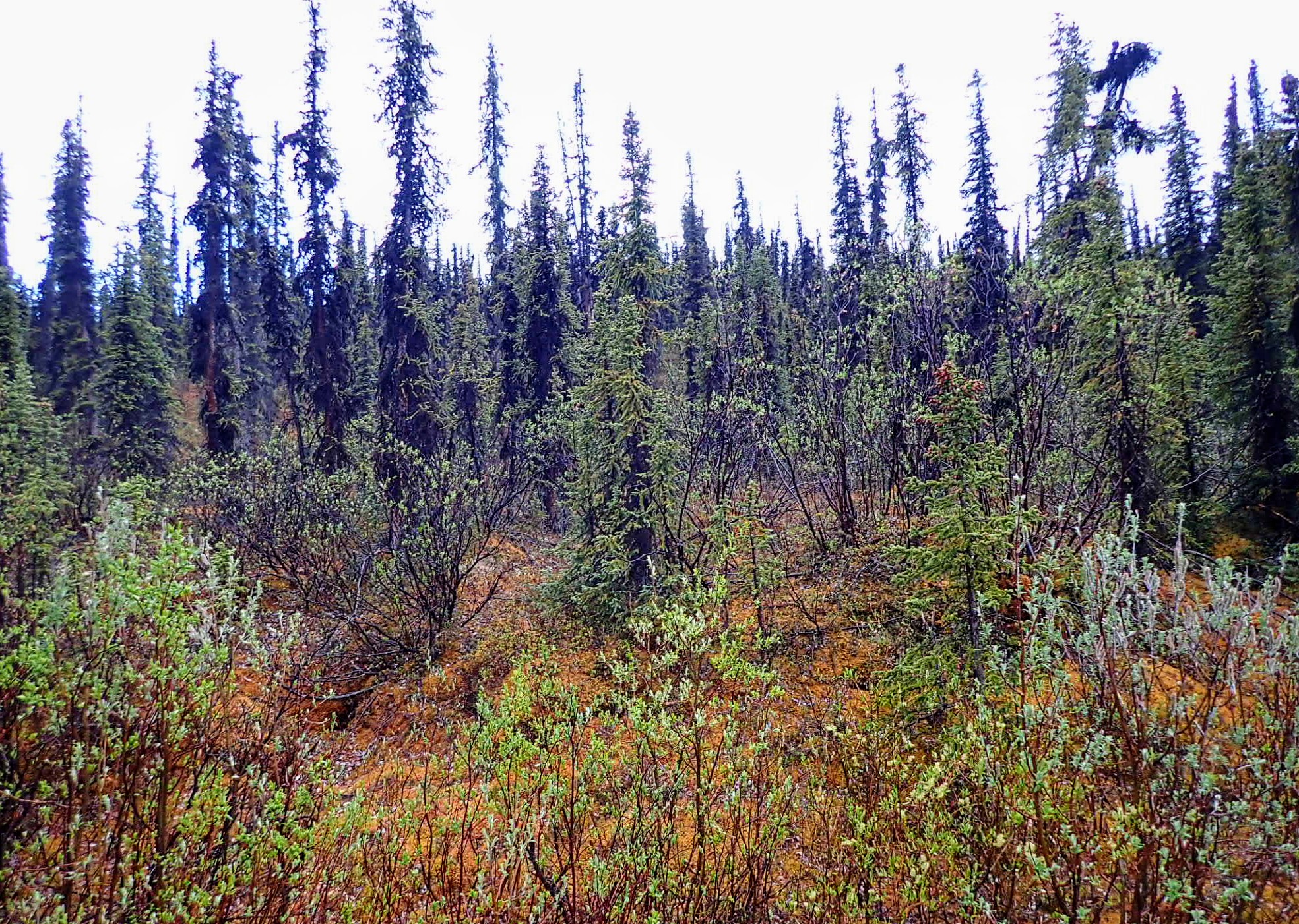
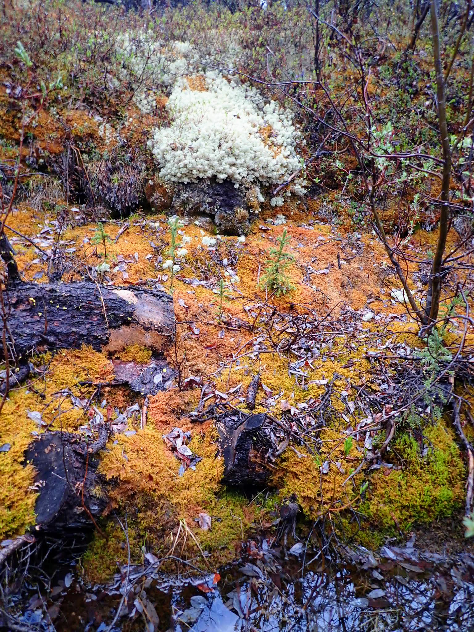
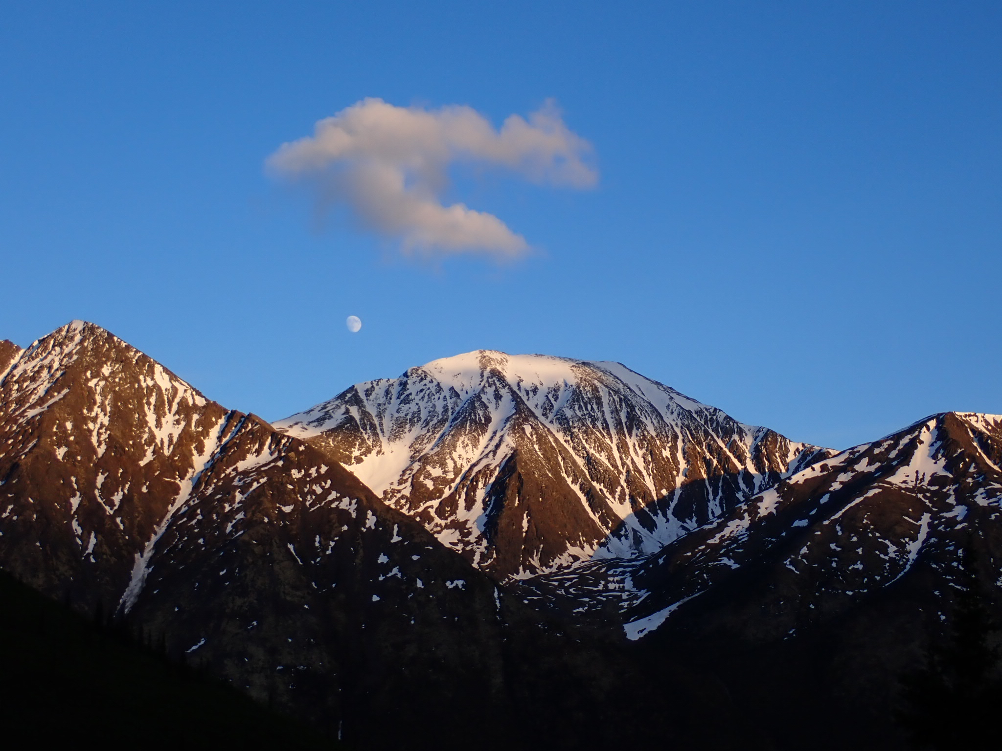
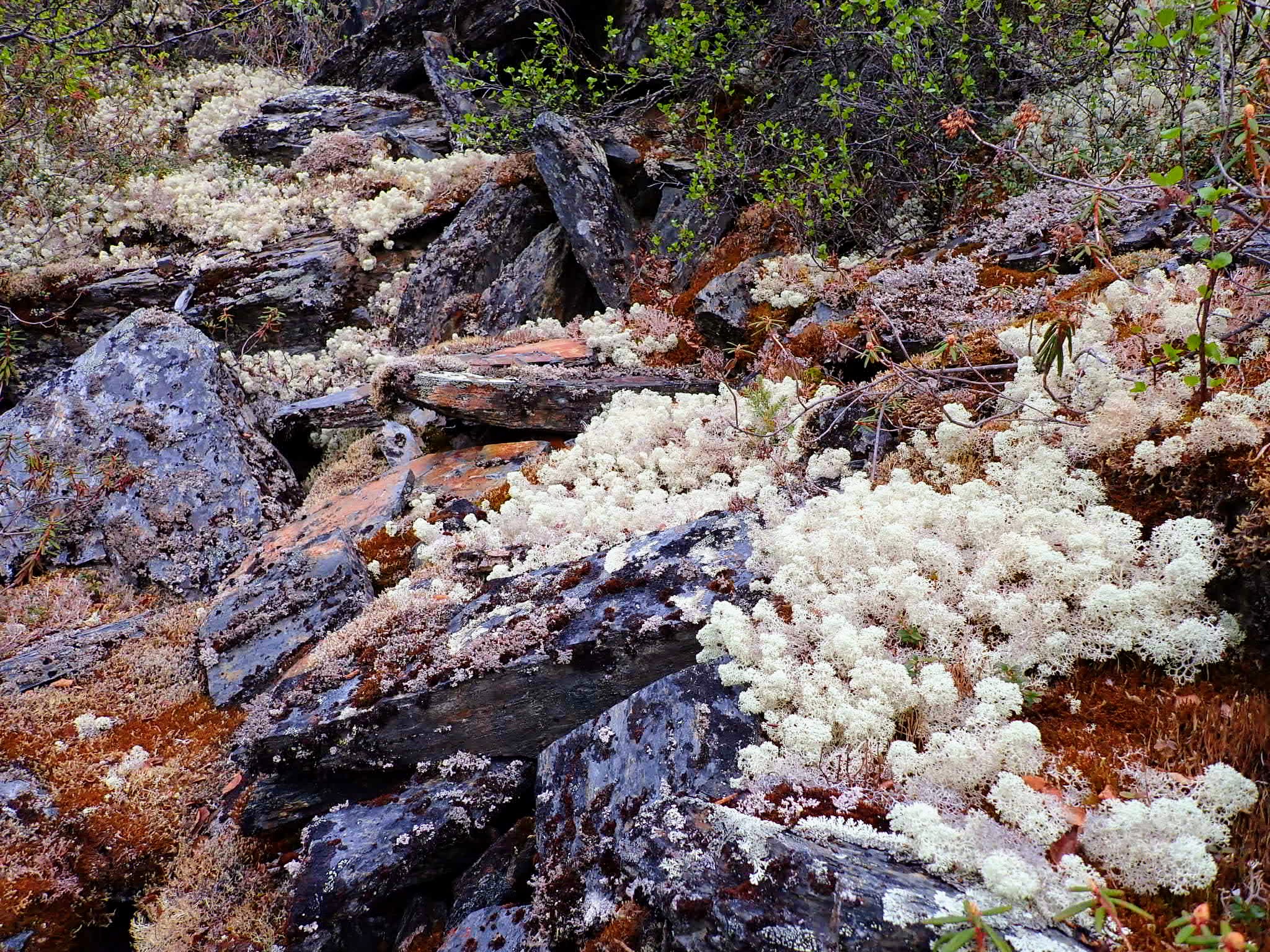
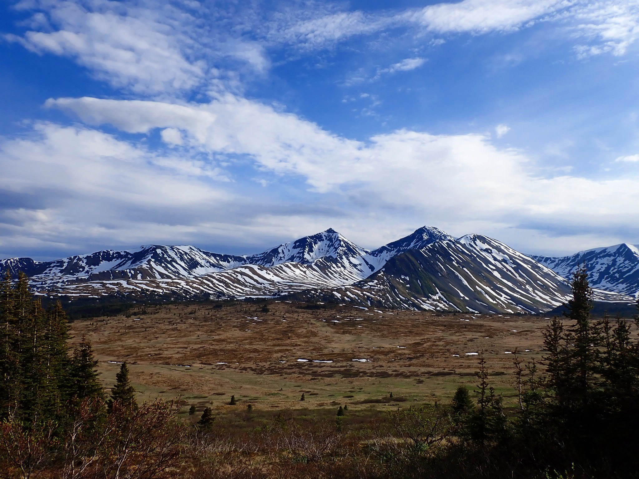
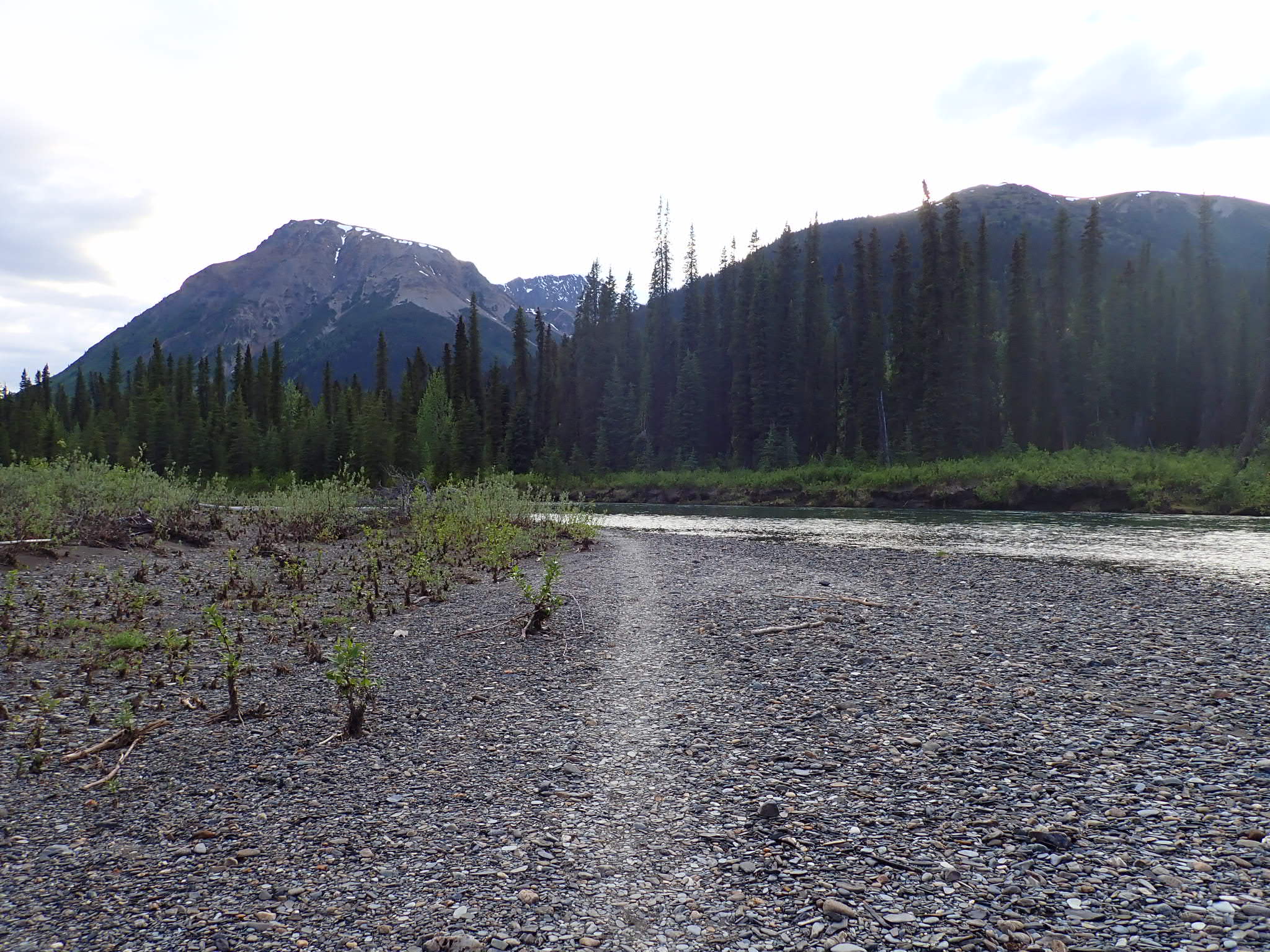
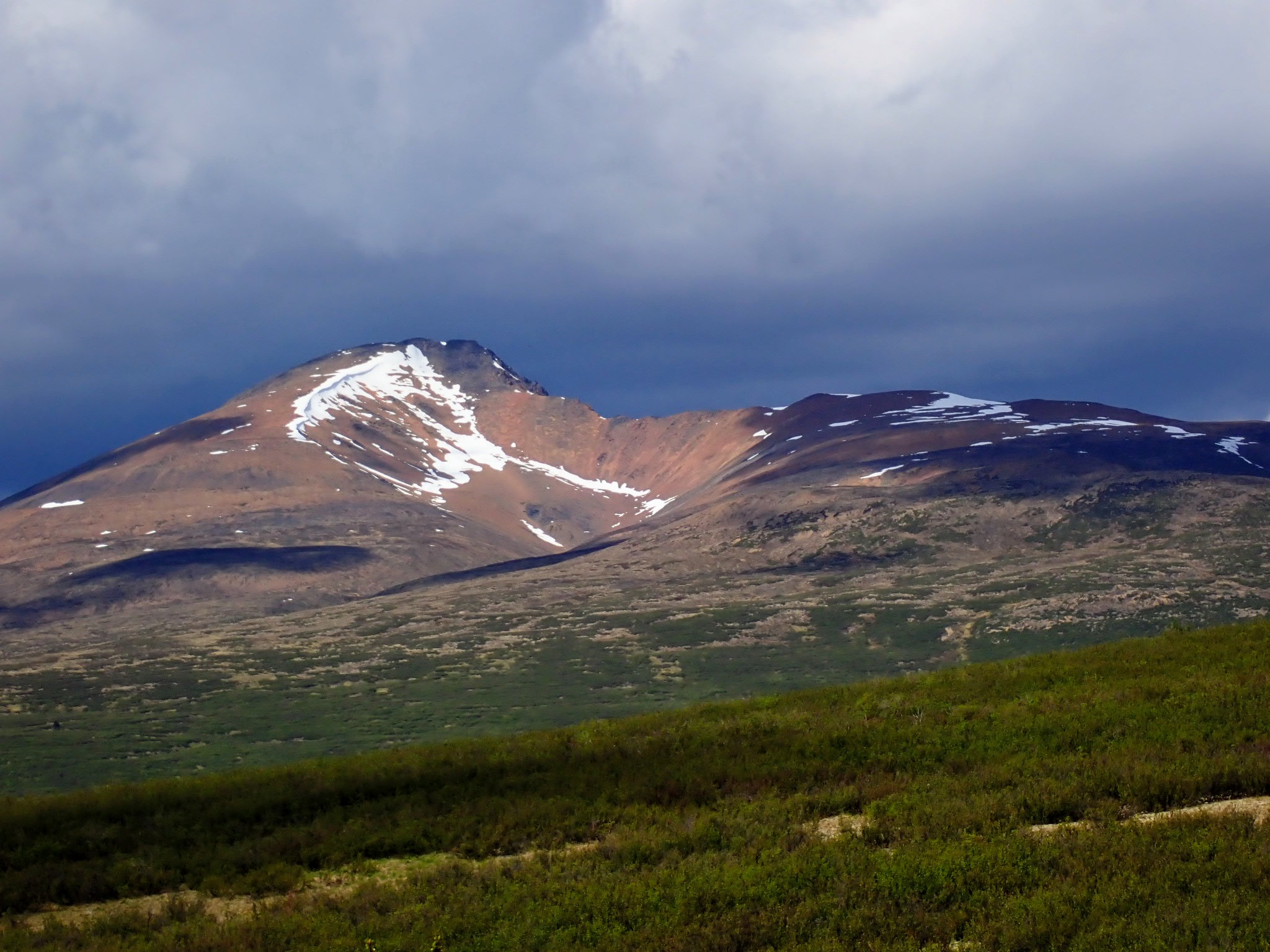
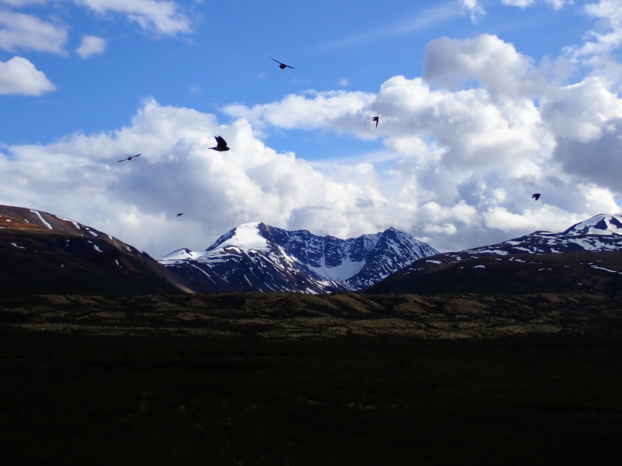
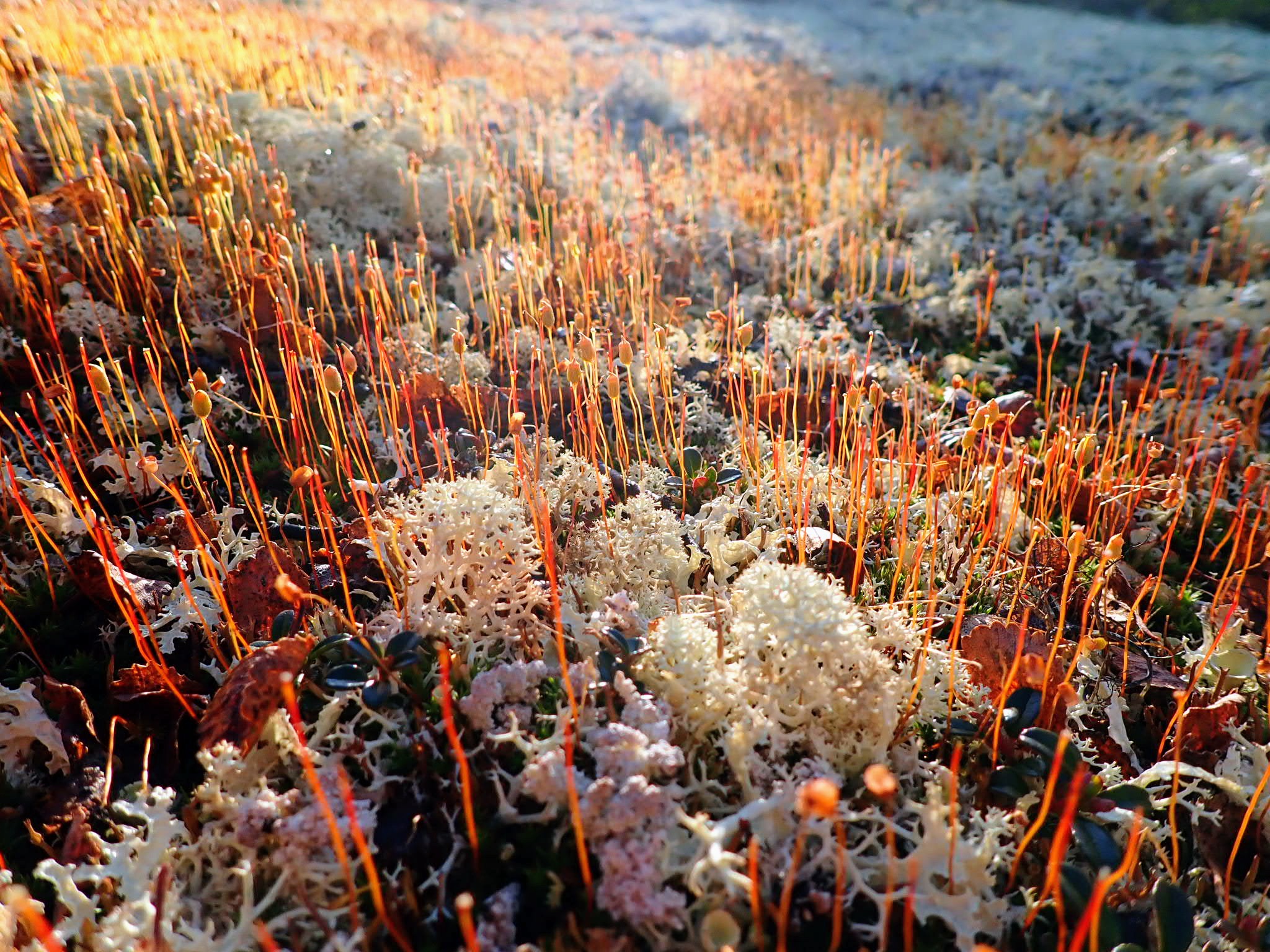
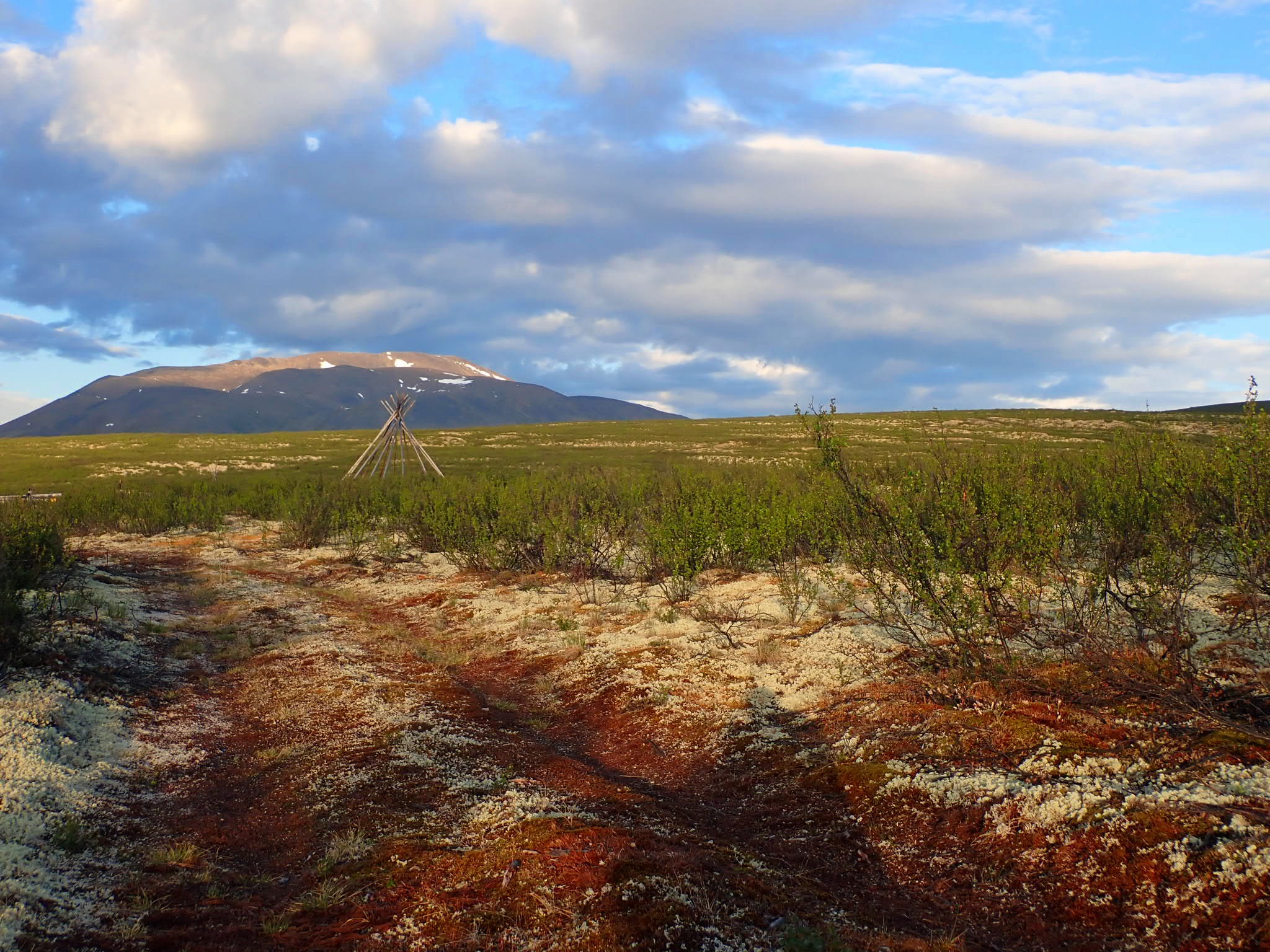
 Mackenzie Mountain Barrens